Basalt in Eagle County, Colorado — The American Mountains (Southwest)
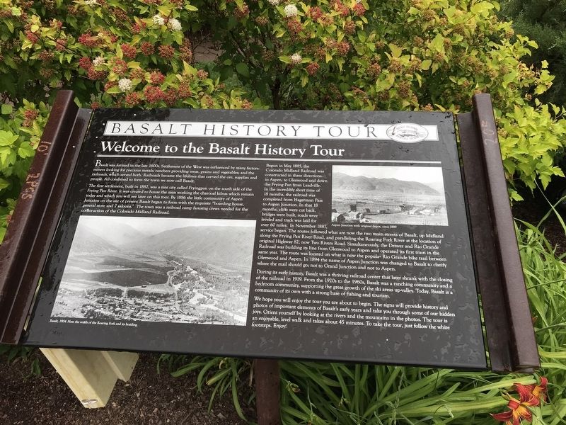
Welcome to the Basalt History Tour
Inscription.
Basalt was formed in the late 1800s. Settlement of the West was influenced by many factors: miners looking for precious metals; ranchers providing meat, grains and vegetables; and the railroads, which served both. Railroads became the lifelines that carried the ore, supplies and people. All combined to form the town we now call Basalt.
The first settlement, built in 1882, was a tent city called Fryingpan on the south side of the Frying Pan River. It was created to house the men working the charcoal kilns which remain today and which you will see later on this tour. By 1886 the little community of Aspen Junction on the site of present Basalt began to form with the requisite "boarding house, general store and 7 saloons.” The town was a railroad camp housing crews needed for the construction of the Colorado Midland Railroad.
Begun in May 1885, the Colorado Midland Railroad was constructed in three directions: to Aspen, to Glenwood and down the Frying Pan from Leadville. In the incredibly short time of 18 months, the railroad was completed from Hagerman Pass to Aspen Junction. In that 18 months, cliffs were cut back, bridges were built, roads were leveled and track was laid for over 60 miles. In November 1887, service began. The routes followed what are now the two main streets of Basalt, up Midland along the Frying Pan River Road, and paralleling the Roaring Fork River at the location of original Highway 82, now Two Rivers Road. Simultaneously, the Denver and Rio Grande Railroad was building its line from Glenwood to Aspen and operated its first train in the same year. The route was located on what is now the popular Rio Grande bike trail between Glenwood and Aspen. In 1894 the name of Aspen Junction was changed to Basalt to clarify where the mail should go; not to Grand Junction and not to Aspen.
During its early history, Basalt was a thriving railroad center that later shrank with the closing of the railroad in 1919. From the 1920s to the 1960s, Basalt was a ranching community and a bedroom community, supporting the great growth of the ski areas up-valley. Today, Basalt is a community of its own with a strong base of fishing and tourism.
We hope you will enjoy the tour you are about to begin. The signs will provide history and photos of important elements of Basalt's early years and take you through some of our hidden joys. Orient yourself by looking at the rivers and the mountains in the photos. The tour is an enjoyable, level walk and takes about 45 minutes. To take the tour, just follow the white footsteps. Enjoy!
[Captions:]
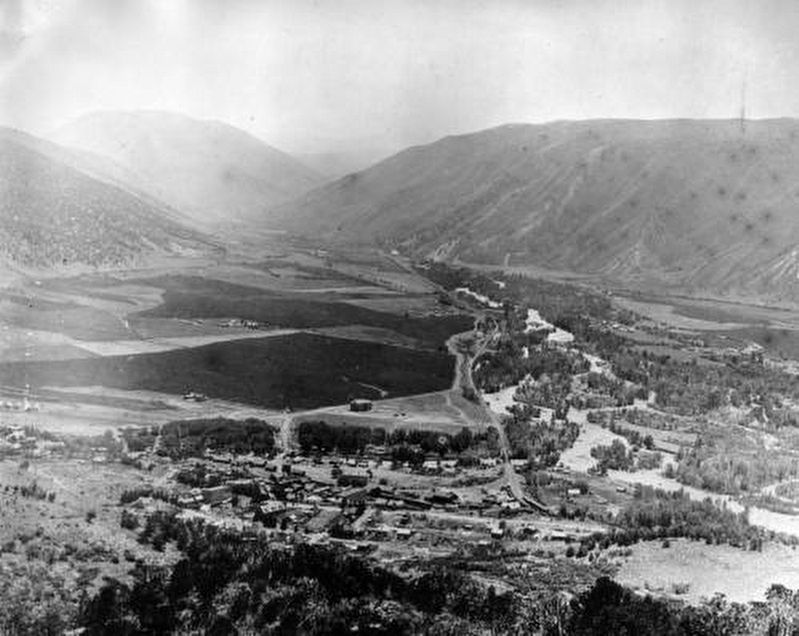
Left: Basalt, 1904. Note the width of the Roaring Fork and its braiding.
Right: Aspen Junction with original
depot, circa 1889
Erected by Basalt Regional Heritage Society.
Topics. This historical marker is listed in these topic lists: Railroads & Streetcars • Settlements & Settlers. A significant historical year for this entry is 1882.
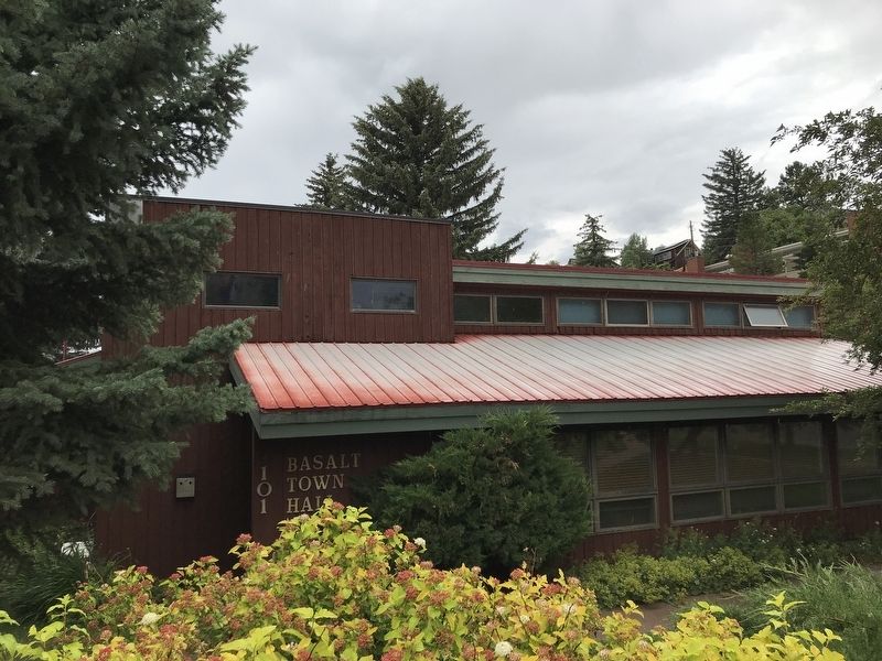
Location. 39° 22.125′ N, 107° 2.067′ W. Marker is in Basalt, Colorado, in Eagle County. Marker is on Midland Avenue west of Midland Spur, on the right when traveling west. Marker is in front of Basalt Town Hall. Touch for map. Marker is at or near this postal address: 101 Midland Avenue, Basalt CO 81621, United States of America. Touch for directions.
Other nearby markers. At least 6 other markers are within 13 miles of this marker, measured as the crow flies. Colorado Midland Railway (a few steps from this marker); The Snell Building (within shouting distance of this marker); The Colorado Midland Depot (within shouting distance of this marker); a different marker also named Colorado Midland Depot (within shouting distance of this marker); The Splendid Spud (approx. 0.2 miles away); On the Way to Janeway (approx. 13 miles away).
Credits. This page was last revised on July 17, 2020. It was originally submitted on July 16, 2020, by Duane and Tracy Marsteller of Murfreesboro, Tennessee. This page has been viewed 245 times since then and 25 times this year. Photos: 1, 2. submitted on July 16, 2020, by Duane and Tracy Marsteller of Murfreesboro, Tennessee. 3. submitted on July 17, 2020. • Andrew Ruppenstein was the editor who published this page.


