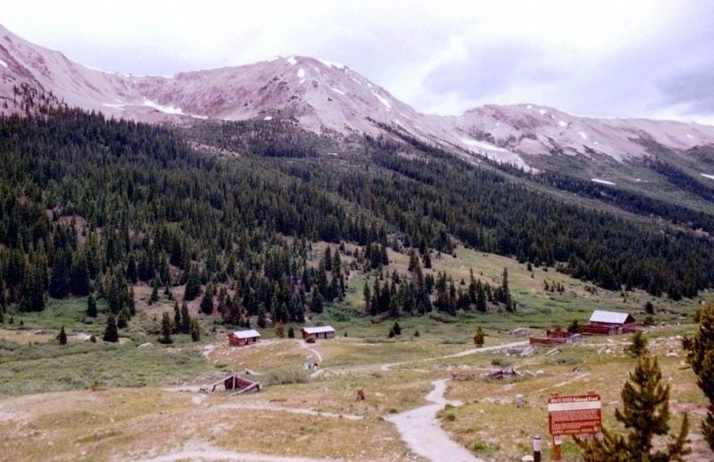
Independence Townsite
Elevation 10,830 feet
| — | White River National Forest | — |
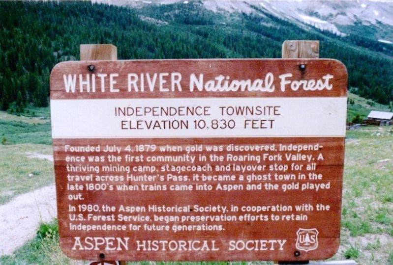
In 1980, the Aspen Historical Society, in cooperation with the U.S. Forest Service, began preservation efforts to retain Independence for future generations.
Erected by Aspen Historical Society and the U.S. Forest Service.
Topics. This historical marker is listed in this topic list: Settlements & Settlers. A significant historical date for this entry is July 4, 1879.
Location. 39° 6.404′ N, 106° 36.215′ W. Marker is near Aspen, Colorado, in Pitkin County. It is on State Highway 82, on the right when traveling east. This is not an "all year highway" and is closed during the winter. Touch for map. Marker is in this post office area: Aspen CO 81611, United States of America. Touch for directions.
Regionally, this marker is in the Colorado High Rockies. It is also in the American Mountain West. Globally, it is in North America, the
this page online
Other nearby markers. At least 8 other markers are within 2 miles of this marker, measured as the crow flies: Welcome to the Ghost Town of Independence (a few steps from this marker); a different marker also named Welcome to the Ghost Town of Independence (within shouting distance of this marker); Tent City (within shouting distance of this marker); Business District (about 500 feet away, measured in a direct line); Finding Gold (about 600 feet away); Living at Altitude (about 800 feet away); a different marker also named Business District (approx. 0.2 miles away); Independence Pass Foundation (approx. 1.6 miles away). Touch for a list and map of all markers in Aspen.
Credits. This page was last revised on July 17, 2020. It was originally submitted on June 25, 2017, by Don Morfe of Baltimore, Maryland. This page has been viewed 939 times since then and 18 times this year. Last updated on July 16, 2020, by Duane and Tracy Marsteller of Murfreesboro, Tennessee. Photos: 1, 2, 3. submitted on June 25, 2017, by Don Morfe of Baltimore, Maryland. • Andrew Ruppenstein was the editor who published this page.
