Near Aspen in Pitkin County, Colorado — The American Mountains (Southwest)
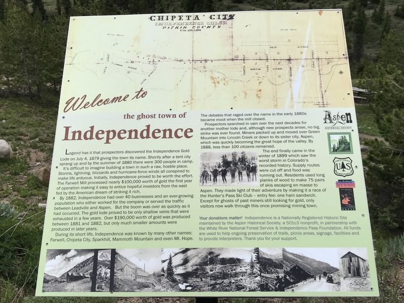
Welcome to the Ghost Town of Independence
Inscription.
Legend has it that prospectors discovered the Independence Gold Lode on July 4, 1879 giving the town its name. Shortly after a tent city sprang up and by the summer of 1880 there were 300 people in camp.
It's difficult to imagine building a town in such a raw, hostile place. Storms, lightning, blizzards and hurricane-force winds all conspired to make life arduous. Initially, Independence proved to be worth the effort. The Farwell Mill processed nearly $100,000 worth of gold the first year of operation making it easy to entice hopeful investors from the east fed by the American dream of striking it rich.
By 1882, Independence had over 40 businesses and an ever-growing population who either worked for the company or served the traffic between Leadville and Aspen. But the boom was over as quickly as it had occurred. The gold lode proved to be only shallow veins that were exhausted in a few years. Over $190,000 worth of gold was produced between 1881 and 1882, but only much smaller amounts were produced in later years.
During its short life, Independence was known by many other names: Farwell, Chipeta City, Sparkhill, Mammoth Mountain and even Mt. Hope. The debates that raged over the name in the early 1880s became moot when the mill closed.
Prospectors searched in vain over the next decades for another mother lode and, although new prospects arose, no big strike was ever found. Miners packed up and moved over Green Mountain into Lincoln Creek or down to its sister city, Aspen, which was quickly becoming the great hope of the valley. By 1888, less than 100 citizens remained.
The end finally came in the winter of 1899 which saw the worst storm in Colorado's recorded history. Supply routes were cut off and food was running out. Residents used long planks of wood to make 75 pairs of skis escaping en masse to Aspen. They made light of their adventure by making it a race of the Hunter's Pass Ski Club – entry fee: one ham sandwich. Except for ghosts of past miners still looking for gold, only visitors now walk through this once promising mining town.
Your donations matter! Independence is a Nationally Registered Historic Site maintained by the Aspen Historical Society, a 501c3 nonprofit, in partnership with the White River National Forest Service & Independence Pass Foundation. All funds are used to help ongoing preservation of trails, picnic areas, signage, facilities and to provide Interpreters. Thank you for your support.
Erected by Aspen Historical Society; Independence Pass Foundation; U.S. Forest Service; and Top of the Rockies.
Topics. This historical marker is listed in these topic lists:
Industry & Commerce • Settlements & Settlers. A significant historical date for this entry is July 4, 1879.
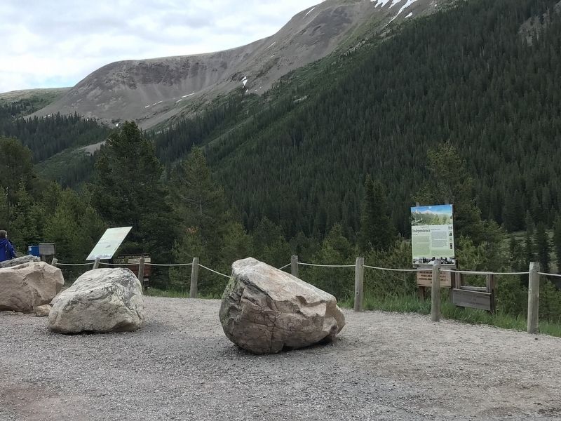
Location. 39° 6.411′ N, 106° 36.201′ W. Marker is near Aspen, Colorado, in Pitkin County. Marker is on Colorado 82, 5.6 miles east of County Route 23, on the left when traveling east. Marker is 16 miles east of Aspen, in the White River National Forest. The road is closed October-May. Touch for map. Marker is in this post office area: Aspen CO 81611, United States of America. Touch for directions.
Other nearby markers. At least 8 other markers are within 2 miles of this marker, measured as the crow flies. A different marker also named Welcome to the Ghost Town of Independence (here, next to this marker); Independence Townsite (within shouting distance of this marker); Tent City (about 300 feet away, measured in a direct line); Business District (about 600 feet away); Finding Gold (about 700 feet away); Living at Altitude (approx. 0.2 miles away); a different marker also named Business District (approx. 0.2 miles away); Independence Pass Foundation (approx. 1.6 miles away). Touch for a list and map of all markers in Aspen.
Credits. This page was last revised on July 18, 2020. It was originally submitted on July 16, 2020, by Duane and Tracy Marsteller of Murfreesboro, Tennessee. This page has been viewed 128 times since then and 11 times this year. Photos: 1, 2. submitted on July 16, 2020, by Duane and Tracy Marsteller of Murfreesboro, Tennessee. • Andrew Ruppenstein was the editor who published this page.

