Columbia Heights in Northwest Washington in Washington, District of Columbia — The American Northeast (Mid-Atlantic)
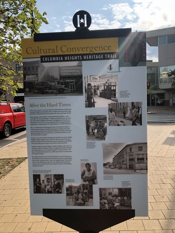
After the Hard Times
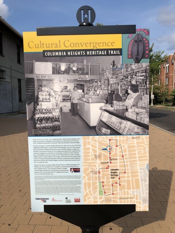
Cultural Convergence
— Columbia Heights Heritage Trail —
When the smoke cleared after the civil disturbances of April 1968, Columbia Heights lay devastated. Many residents and businesses simply left. Others remained to pick up the pieces. But who would help rebuild?
Citizen groups, church leaders, and the federal government—which controlled the city's pursestrings—initially answered the call. The three-year-old Cardozo Heights Association for Neighborhood Growth and Enrichment (CHANGE), Inc., also responded with housing programs, health clinic, a "street academy" for adult education, and other assistance.
The U.S. Department of Housing and Urban Development bought, or took by eminent domain, hundreds of properties, give some to the city for public housing,. Some damaged buildings, and many rowhouses that were simply old, were razed. Soon, on the block behind you, only the Tivoli Theater remained.
In 1976-77 CHANGE—All Souls Housing Corp. built the 406-unit Columbia Heights Village complex along 14th Street. However most of the land between Irving and Monroe Streets sat vacant for decades as city officials and community groups argued, and investors looked elsewhere.
Though damaged, the grand Riggs-Tompkins Building, catty-corner to this sign, escaped demolition, thanks to the neighborhood preservationists who helped place it on the National Register of Historic Places. The Kelsey Temple Development Corp. added apartments for seniors above the original building.
The largest enterprise to survive the disturbances was the Giant Food, then located at 3460 14th Street. It had opened in 1966 as a model facility after citizens complained that "inner-city neighborhoods" had inferior stores. In the difficult days after the riots, Giant joined Sacred Heart Church and St. Stephen and the Incarnation Church in distributing needed provisions.
Erected 2009 by Cultural Tourism DC. (Marker Number 4.)
Topics and series. This historical marker is listed in these topic lists: Charity & Public Work • Churches & Religion • Industry & Commerce • Notable Buildings. In addition, it is included in the Columbia Heights Heritage Trail series list. A significant historical year for this entry is 2009.
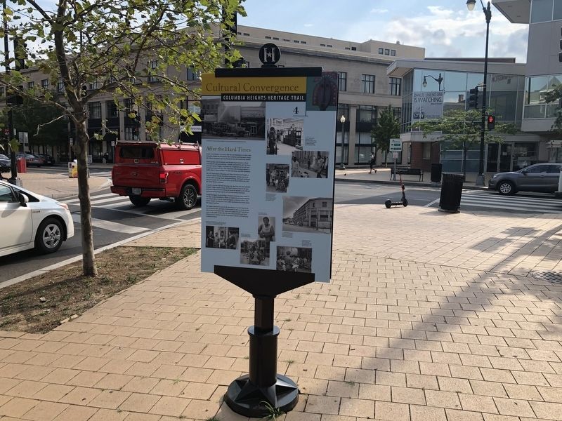
Location. 38° 55.893′ N, 77° 1.944′ W. Marker is in Northwest Washington in Washington, District of Columbia. It is in Columbia Heights. Marker is at the intersection of 14th Street Northwest and Monroe Street Northwest, on the right when traveling north on 14th Street Northwest. Touch for map. Marker is at or near this postal address: 3401 14th St NW, Washington DC 20010, United States of America. Touch for directions.
Other nearby markers. At least 8 other markers are within walking
Credits. This page was last revised on January 30, 2023. It was originally submitted on July 16, 2020, by Devry Becker Jones of Washington, District of Columbia. This page has been viewed 148 times since then and 13 times this year. Photos: 1, 2, 3. submitted on July 16, 2020, by Devry Becker Jones of Washington, District of Columbia.


