Near Huddleston in Bedford County, Virginia — The American South (Mid-Atlantic)
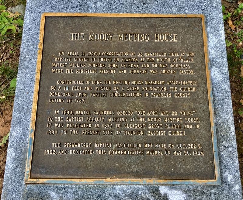
The Moody Meeting House
On April 11, 1790, a congregation of 32 organized here as the “Baptist Church of Christ on Stanton at the mouth of Black Water.” William Johnson, John Anthony and Thomas Douglass were the ministers present and Johnson was chosen pastor.
Constructed of logs, the Meeting House measured approximately 30 x 18 feet and rested on a stone foundation. The Church developed from Baptist Congregations in Franklin County dated to 1787.
In 1843, Daniel Saunders deeded “one acre and 30 poles” to the Baptist Society meeting at the Moody Meeting House. It was relocated in 1877 to Pleasant Grove School and in 1884 to the present site of Staunton Baptist Church.
The Strawberry Baptist Association met here on October 2, 1802, and dedicated this commemorative marker on May 20, 1984.
Erected 1984 by The Strawberry Baptist Association.
Topics. This historical marker is listed in this topic list: Churches & Religion. A significant historical date for this entry is April 11, 1790.
Location. 37° 5.843′ N, 79° 36.399′ W. Marker is near Huddleston, Virginia, in Bedford County. Marker is on State Park Road (Road 888) 1.2 miles west of Smith Mountain Lake Parkway (State Route 626), on the right when traveling west. Located in Smith Mountain Lake State Park (admission fee). Touch for map. Marker is in this post office area: Huddleston VA 24104, United States of America. Touch for directions.
Other nearby markers. At least 8 other markers are within 7 miles of this marker, measured as the crow flies. Smith Mountain Lake (approx. 1.4 miles away); a different marker also named Smith Mountain Lake (approx. 4.7 miles away); Smith Mountain Project (approx. 6.1 miles away); I think that I owe a great deal of my present strength and ability to work to my love of... (approx. 6.9 miles away); Jack-O-Lantern Branch Trail (approx. 6.9 miles away); Freed Here, At Last (approx. 7 miles away); How Tobacco Farms Used Slavery (approx. 7 miles away); Slavery on the Plantation (approx. 7.1 miles away).
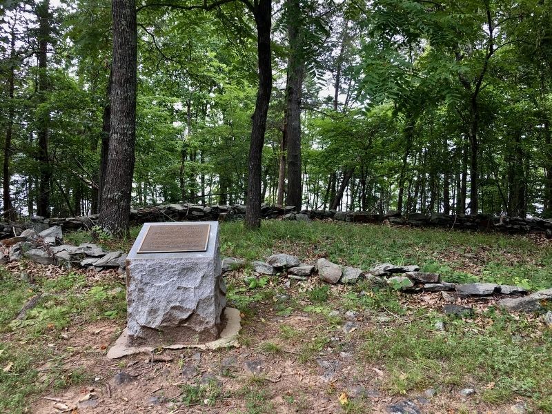
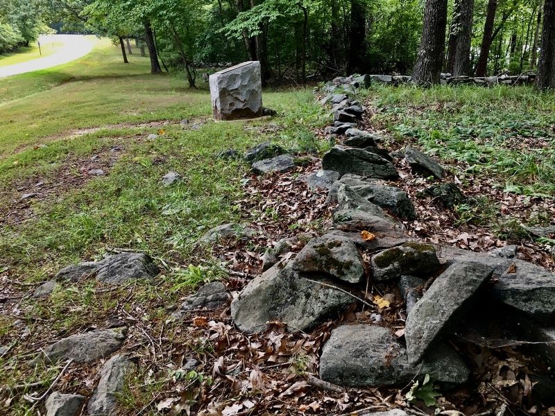
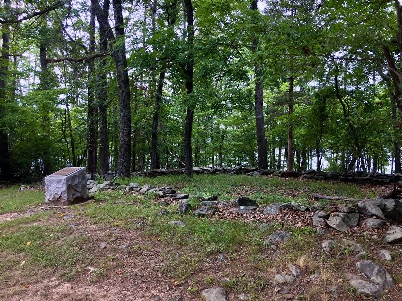
More about this marker. The marker is in front of stones which appear to be the foundation of the old Meeting House.
Credits. This page was last revised on October 14, 2023. It was originally submitted on July 18, 2020, by Patricia Strat of Oakton, Virginia. This page has been viewed 413 times since then and 64 times this year. Photos: 1, 2, 3, 4. submitted on July 18, 2020, by Patricia Strat of Oakton, Virginia. • Bernard Fisher was the editor who published this page.


