Near Harrodsburg in Mercer County, Kentucky — The American South (East South Central)
West Side School
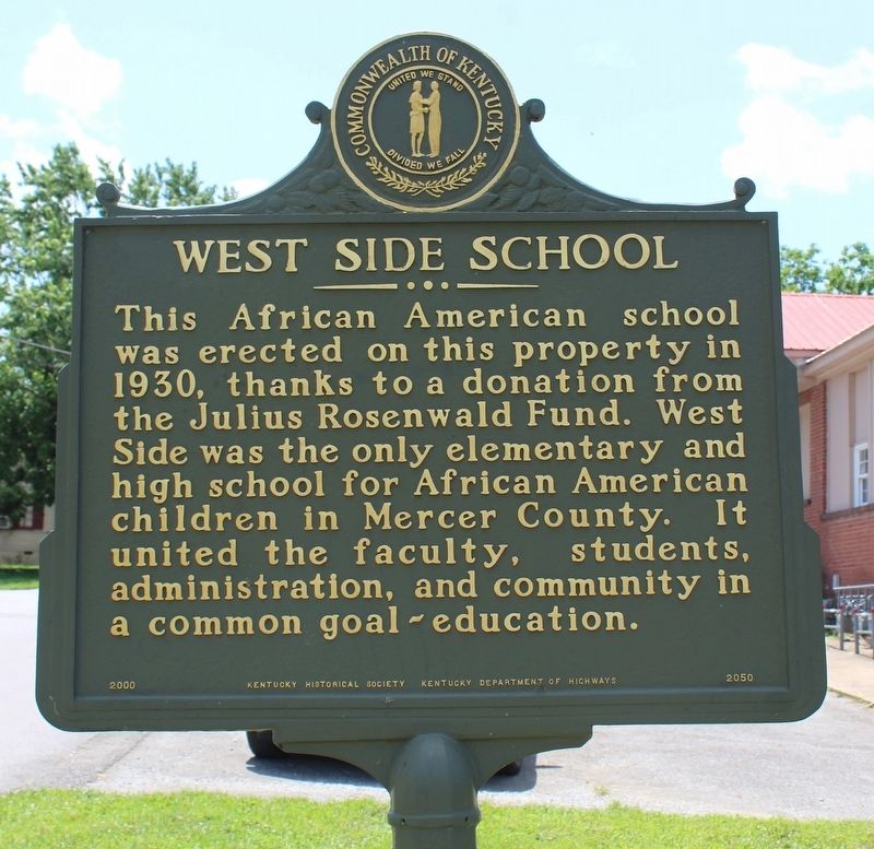
This African American School was erected on this property in 1930, thanks to a donation from the Julius Rosenwald Fund. west Side was the only elementary and high school for African American children in Mercer County. It united the faculty, students, administration, and community in a common goal~education.
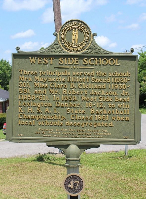
Three principals served the school: Mrs. Maynette Elliott Sneed (1930-38), Miss Clara B. Clelland (1938-59), and Mr. Robert Jackson, Jr. (1959-61). In 1939, West Side beat Lexington Dunbar, 16-12, to win K.H.S.A.L. State Basketball Championship. Closed 1961 when local schools desegregated.
Erected by Kentucky Historical Society & Kentucky Department of Highways / James Herrod Trust; presented by West Side School Reunion Com, and Ky. African American Heritage Commission. (Marker Number 2050 / 47.)
Topics and series. This historical marker is listed in these topic lists: African Americans • Education • Sports. In addition, it is included in the Kentucky, Harrodsburg, James Harrod Trust, and the Rosenwald Schools series lists. A significant historical year for this entry is 1930.
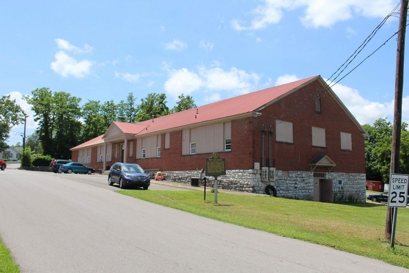
Location. 37° 45.791′ N, 84° 51.098′ W. Marker is near Harrodsburg, Kentucky, in Mercer County. Marker is at the intersection of South Magnolia Street and West Lexington Street, on the left when traveling north on South Magnolia Street. Touch for map. Marker is at or near this postal address: 100 S Magnolia St, Harrodsburg KY 40330, United States of America. Touch for directions.
Other nearby markers. At least 8 other markers are within walking distance of this marker. Pioneer Graveyard (approx. ¼ mile away); Original Fort Harrod Site (approx. ¼ mile away); First Baptist Church / Centennial Baptist Church (approx. ¼ mile away); James Harrod (approx. ¼ mile away); Bowman Memorial Gate (approx. ¼ mile away); Osage Orange Tree (approx. 0.3 miles away); Lincoln Marriage Temple (approx. 0.3 miles away); The Lincoln Move to the Frontier (approx. 0.3 miles away). Touch for a list and map of all markers in Harrodsburg.
Credits. This page was last revised on April 7, 2022. It was originally submitted on July 18, 2020, by Tom Bosse of Jefferson City, Tennessee. This page has been viewed 485 times since then and 60 times this year. Photos: 1, 2, 3. submitted on July 18, 2020, by Tom Bosse of Jefferson City, Tennessee. • Bill Pfingsten was the editor who published this page.


