Harrodsburg in Mercer County, Kentucky — The American South (East South Central)
Abraham Chapline Plantation / Rufus Henry Vandarsdall House
Inscription.
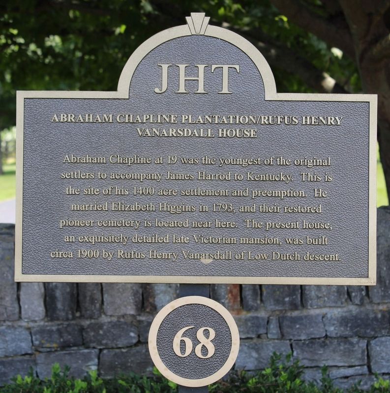
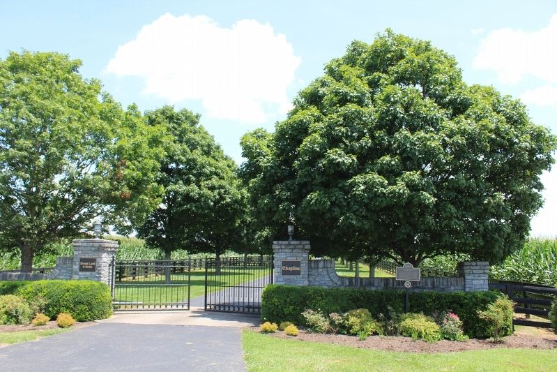
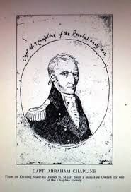
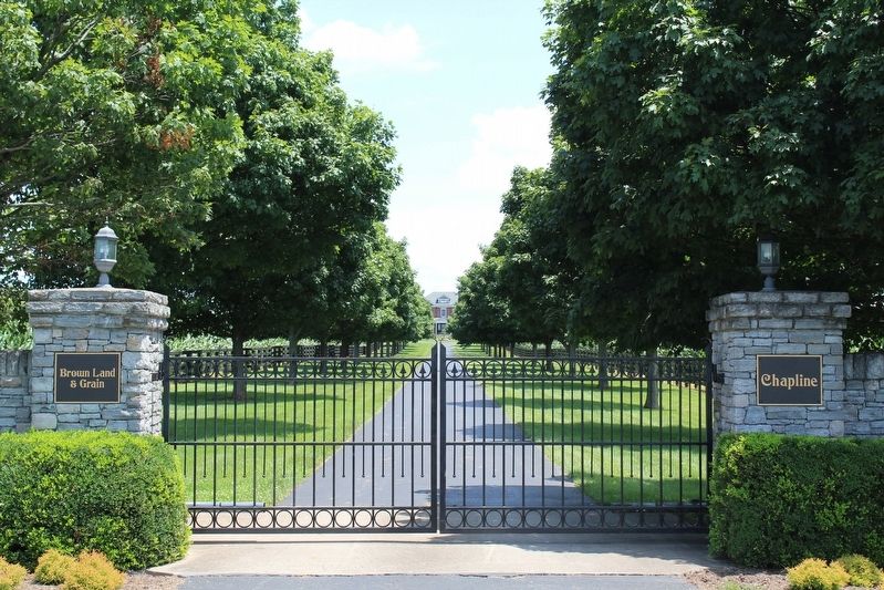
Abraham Chapline at 19 was the youngest of the original settlers to accompany James Harrod to Kentucky. This is the site of his 1400 acre settlement and preemption. He married Elizabeth Higgins in 1793, and their restored pioneer cemetery is located near here. The present house, an exquisitely detailed late Victorian mansion, was built circa 1900 by Rufus Henry Vanarsdall of Low Dutch descent.
Erected by James Harrod Trust. (Marker Number 68.)
Topics and series. This historical marker is listed in these topic lists: Architecture • Settlements & Settlers. In addition, it is included in the Kentucky, Harrodsburg, James Harrod Trust series list. A significant historical year for this entry is 1400.
Location. 37° 47.189′ N, 84° 48.481′ W. Marker is in Harrodsburg, Kentucky, in Mercer County. Marker is on Lexington Road (U.S. 68), on the right when traveling north. Touch for map. Marker is at or near this postal address: 1561 Lexington Road, Harrodsburg KY 40330, United States of America. Touch for directions.
Other nearby markers. At least 8 other markers are within 3 miles of this marker, measured as the crow flies. Boone's Cave (about 700 feet away, measured in a direct line); Gabriel Slaughter (approx. 0.4 miles away); Neighbors-Governors / Mercer Governors (approx. 1˝ miles away); Fairview (approx. 2.1 miles away); John L. Bridges House / Burford Hill (approx. 2.1 miles away); Bataan War Memorial (approx. 2.2 miles away); "The Big Spring" (approx. 2.2 miles away); Muscoe Garnett House (approx. 2.2 miles away). Touch for a list and map of all markers in Harrodsburg.
Credits. This page was last revised on July 18, 2020. It was originally submitted on July 18, 2020, by Tom Bosse of Jefferson City, Tennessee. This page has been viewed 364 times since then and 47 times this year. Photos: 1, 2, 3, 4. submitted on July 18, 2020, by Tom Bosse of Jefferson City, Tennessee. • Bill Pfingsten was the editor who published this page.


