Near Aspen in Pitkin County, Colorado — The American Mountains (Southwest)
Tent City
Surviving in Independence
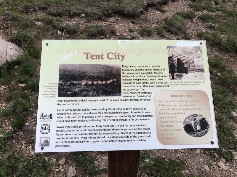
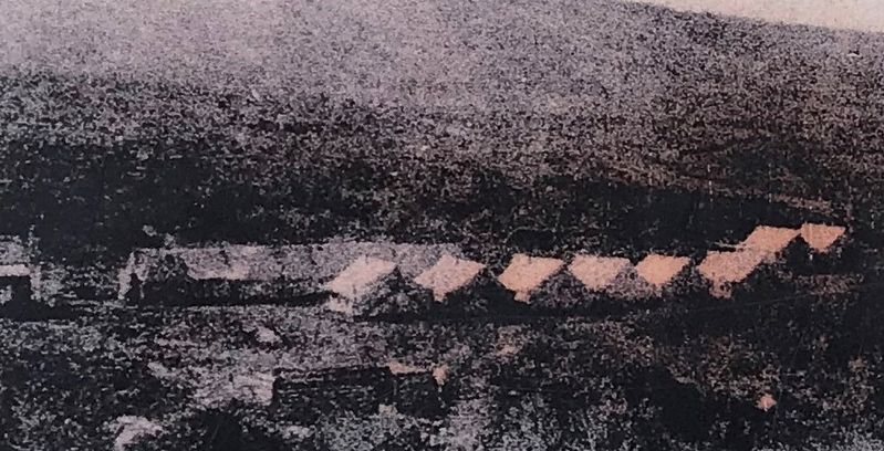
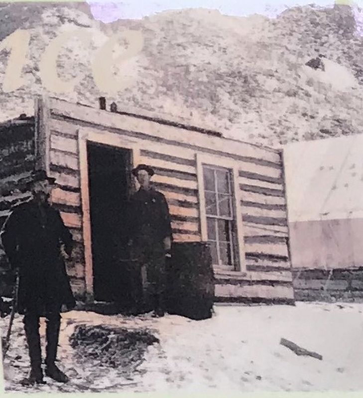
As the camp progressed, lots were sold by the developing town company to prospective residents as well as retail and service businesses. False fronts were added to businesses to portray a more prosperous community and tent platforms would have been replaced with a log cabin or stone structure for permanence.
Towns were small, primitive and fairly quiet until a need for more services created greater demand. Like Independence, these camps became the center for commerce and communication for more solitary miners in the surrounding remote mountains. Most miners staked their claims outside of the town itself and came in periodically for supplies, news and entertainment with fellow prospectors.
Naturalist Note:
With the retreat of the last glaciers 8,000 years ago, the valley and mountains became habitable for the black bear population. Bears winter in natural caverns on high slopes, insulated by thick fur and life-sustaining fat.
Captions:
Left: Temporary tented buildings formed this community just outside of Aspen in the 1890s.
Right: An example of a fully timbered building next to a tented building in the late 1890s.
Erected by Aspen Historical Society, The Independence Pass Foundation, and U.S. Forest Service.
Topics. This historical marker is listed in these topic lists: Architecture • Settlements & Settlers.
Location. 39° 6.374′ N, 106° 36.238′ W. Marker is near Aspen, Colorado, in Pitkin County. Marker can be reached from Colorado 82, 5.6 miles east of County Road 23. Marker is accessible via a footpath leading from the highway overlook to the town site below. The road is closed October-May. Touch for map. Marker is in this post office area: Aspen CO 81611, United States of America. Touch for directions.
Other nearby markers. At least 8 other markers are within 2 miles of this marker, measured as the crow flies. Independence Townsite (within shouting distance of this marker); Welcome to the Ghost Town of Independence (about 300 feet away, measured in a direct line); a different marker also named Welcome to the Ghost Town of Independence (about 300 feet away); Finding Gold (about 400 feet away); Business District
(about 400 feet away); a different marker also named Business District (about 700 feet away); Living at Altitude (about 700 feet away); Independence Pass Foundation (approx. 1.6 miles away). Touch for a list and map of all markers in Aspen.
Credits. This page was last revised on July 20, 2020. It was originally submitted on July 20, 2020, by Duane and Tracy Marsteller of Murfreesboro, Tennessee. This page has been viewed 124 times since then and 13 times this year. Photos: 1, 2, 3. submitted on July 20, 2020, by Duane and Tracy Marsteller of Murfreesboro, Tennessee. • Andrew Ruppenstein was the editor who published this page.


