Jim Thorpe in Carbon County, Pennsylvania — The American Northeast (Mid-Atlantic)
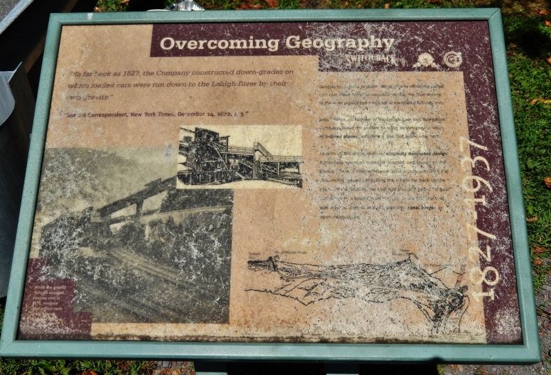
Overcoming Geography
1827-1937
—“Special Correspondent, New York Times, December 14, 1872, p 3.”
Geography posed a problem. While gravity efficiently pulled coal cars down from the mountain mines, the final decline to the river proved too steep for conventional railroad cars.
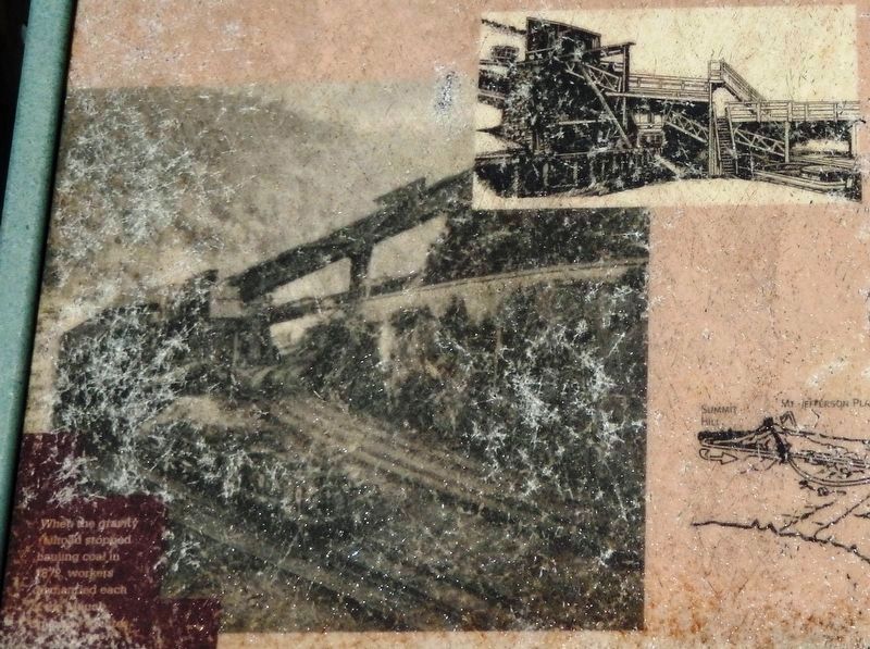
Josiah White, co-founder of the Lehigh Coal and Navigation Company, found the answer in 1827. He designed a series of inclined planes, including a 700 foot plane near here.
As with all White’s inventions, simplicity dominated design. A gravity operated turntable directed cars to one of the planes. Above, a counterbalance system took over with the descending loaded car pulling the empty car back up the plane. At the bottom, the coal was dumped into [unreadable] canal barges or open railroad cars.
Erected by Pennsylvania Department of Conservation and Natural Resources.
Topics and series. This historical marker is listed in these topic lists: Industry & Commerce • Railroads & Streetcars. In addition, it is included in the Lehigh Canal series list. A significant historical year for this entry is 1827.
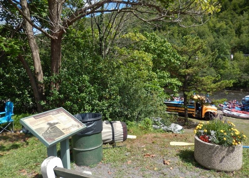
Location. 40° 51.904′ N, 75° 44.133′ W. Marker is in Jim Thorpe, Pennsylvania, in Carbon County. Marker can be reached from the intersection of Lehigh Avenue (U.S. 209) and Lehigh Gorge Trail. Marker is located along the Lehigh Gorge Trail, near the Lehigh River access ramp, at the Jim Thorpe Municipal Parking lot. Touch for map. Marker is at or near this postal address: 1 Susquehanna Street, Jim Thorpe PA 18229, United States of America. Touch for directions.
Other nearby markers. At least 8 other markers are within walking distance of this marker. Joe Boyle Plaza (about 700 feet away, measured in a direct line); The Soldiers and Sailors Monument (about 800 feet away); The Self Made Man (about 800 feet away); Carbon County (approx. 0.2 miles away); Packer Mansion (approx. 0.2 miles away); From Rails to Trails (approx. 0.2 miles away); Exploring The Corridor (approx. 0.2 miles away); Mauch Chunk Railroad Station (approx. 0.2 miles away). Touch for a list and map of all markers in Jim Thorpe.
Regarding Overcoming Geography. The Mauch Chunk and Summit Hill Switchback Railroad is listed on the National Register of Historic Places, #76001616.
Also see . . .
1. Mauch Chunk Switchback Railway (Wikipedia). The railway used gravity and two inclines. A powered double-incline led up to the top of two separate summits along Pisgah Ridge on the return leg and each summit had "a new down track" returning
the cars several miles farther west in each case. This saw-tooth elevation profile gave the new return track a swooping characteristic ride later deliberately designed into roller coasters. (Submitted on July 25, 2020, by Cosmos Mariner of Cape Canaveral, Florida.)
2. How the Switchback Railroad Inspired the Invention of the Roller Coaster. The Switchback Gravity Railroad, built in 1827, was only the second railroad built in America. It ran nine miles, hauling coal from Summit Hill down to the town of Mauch Chunk and the Lehigh Canal in east central Pennsylvania. During non-peak hours, the railroad offered rides along the route for the public, in specially outfitted cars. Following the line's dramatic descents and loops, these cars could attain speeds of up to 50 miles per hour. One patron described it as a "hair-raising trolley ride." This wild ride—in which carloads of passengers plunged at high speeds from steep peaks—served as the model for the first roller coaster, introduced on Coney Island in 1884. (Submitted on July 25, 2020, by Cosmos Mariner of Cape Canaveral, Florida.)
Credits. This page was last revised on July 25, 2020. It was originally submitted on July 23, 2020, by Cosmos Mariner of Cape Canaveral, Florida. This page has been viewed 112 times since then and 8 times this year. Photos: 1, 2, 3. submitted on July 25, 2020, by Cosmos Mariner of Cape Canaveral, Florida.


