Georgetown in Georgetown County, South Carolina — The American South (South Atlantic)
DeBordieu Beach
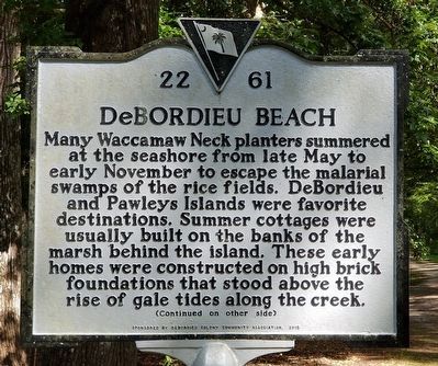
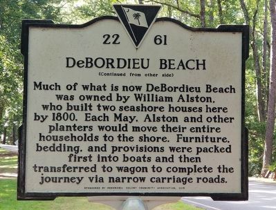
Many Waccamaw Neck planters summered at the seashore from late May to early November to escape the malarial swamps of the rice fields. DeBordieu and Pawleys Islands were favorite destinations. Summer cottages were usually built on the banks of the marsh behind the island. These early homes were constructed on high brick foundations that stood above the rise of gale tides along the creek.
Erected 2015 by DeBordieu Colony Community Association. (Marker Number 22 61.)
Topics. This historical marker is listed in this topic list: Settlements & Settlers. A significant historical year for this entry is 1800.
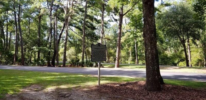
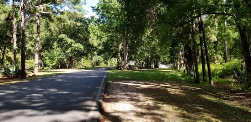
Location. 33° 22.454′ N, 79° 12.384′ W. Marker is in Georgetown, South Carolina, in Georgetown County. Marker is on Luvan Boulevard, half a mile east of Ocean Highway (U.S. 17), on the right when traveling east. Touch for map. Marker is at or near this postal address: 181 Luvan Blvd, Georgetown SC 29440, United States of America. Touch for directions.
Other nearby markers. At least 8 other markers are within 5 miles of this marker, measured as the crow flies. Prospect Hill (approx. one mile away); Hobcaw Barony (approx. 1.4 miles away); Belle W. Baruch (approx. 1.4 miles away); a different marker also named Hobcaw Barony (approx. 1.4 miles away); Clifton Plantation (approx. 1.8 miles away); Lafayette (approx. 1.8 miles away); Attacks Upon Georgetown (approx. 3.1 miles away); William Screven (approx. 4.1 miles away). Touch for a list and map of all markers in Georgetown.
More about this marker. Marker is located inside a gated community. Only owners and their guests will be able to gain access to the area where this marker is located.
Credits. This page was last revised on July 25, 2020. It was originally submitted on July 24, 2020, by Charles Keller of Myrtle Beach, South Carolina. This page has been viewed 1,001 times since then and 77 times this year. Photos: 1, 2, 3, 4. submitted on July 24, 2020, by Charles Keller of Myrtle Beach, South Carolina. • Bernard Fisher was the editor who published this page.


