Morristown in Morris County, New Jersey — The American Northeast (Mid-Atlantic)
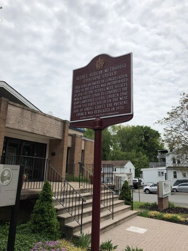
Bethel African Methodist Episcopal Church
Erected by Morris County Heritage Commission.
Topics and series. This historical marker is listed in these topic lists: African Americans • Churches & Religion. In addition, it is included in the African Methodist Episcopal (AME) Church series list. A significant historical year for this entry is 1849.
Location. 40° 47.969′ N, 74° 28.76′ W. Marker is in Morristown, New Jersey, in Morris County. Marker is at the intersection of Spring St. and Bishop Nazery Way, on the right when traveling north on Spring St.. Touch for map. Marker is at or near this postal address: 59 Spring St, Morristown NJ 07960, United States of America. Touch for directions.
Other nearby markers. At least 8 other markers are within walking distance of this marker. Continental Army Encampments (within shouting distance of this marker); Ford Family Memorial (about 700 feet away, measured in a direct line); The French are Coming (approx. 0.2 miles away); This Morristown Green (approx. 0.2 miles away); The Presbyterian Church on the Green (approx. 0.2 miles away); Morristown Postal Service (approx. 0.2 miles away); The Baptist Church on the Green (approx. 0.2 miles away); Court House and Jail (approx. 0.2 miles away). Touch for a list and map of all markers in Morristown.
Credits. This page was last revised on August 10, 2020. It was originally submitted on July 26, 2020, by Raymond Siwek of Morristown, New Jersey. This page has been viewed 106 times since then and 12 times this year. Photo 1. submitted on July 26, 2020, by Raymond Siwek of Morristown, New Jersey. • Michael Herrick was the editor who published this page.
Editor’s want-list for this marker. Close-up photo of marker with readable text. • Can you help?
