Aberfoil in Bullock County, Alabama — The American South (East South Central)
Aberfoil School
Bullock County
Photographed by Mark Hilton, July 26, 2020
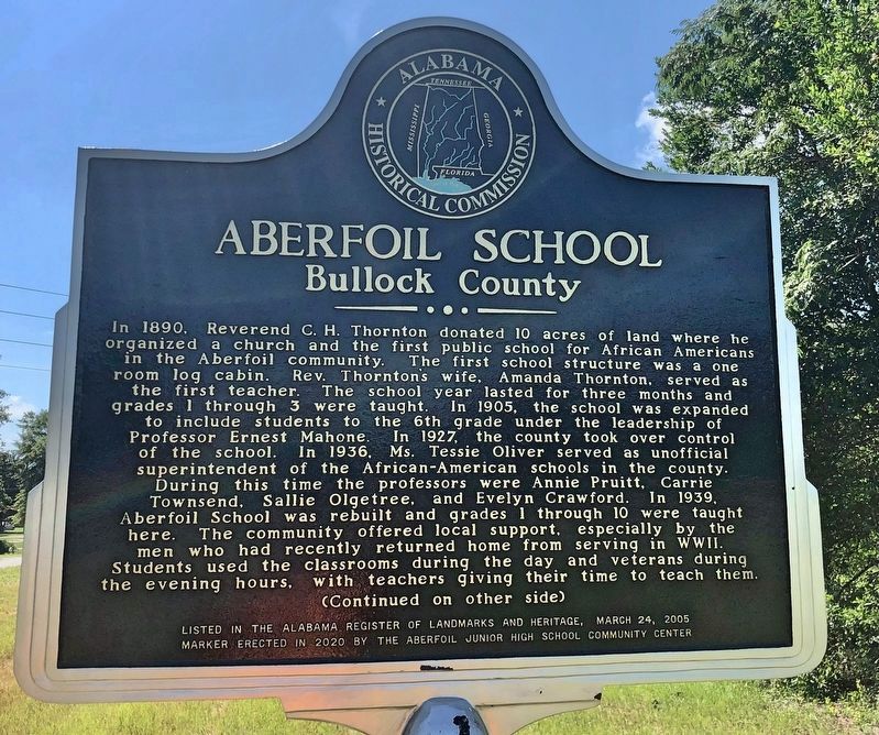
1. Aberfoil School Marker (side 1)
Side 1
In 1890, Reverend C. H. Thornton donated 10 acres of land where he organized a church and the first public school for African Americans in the Aberfoil community. The first school structure was a one room log cabin. Rev. Thornton's wife, Amanda Thornton, served as the first teacher. The school year lasted for three months and grades 1 through 3 were taught. In 1905, the school was expanded to include students to the 6th grade under the leadership of Professor Ernest Mahone. In 1927, the county took over control of the school. In 1936. Ms. Tessie Oliver served as unofficial superintendent of the African-American schools in the county. During this time the professors were Annie Pruitt, Carrie Townsend, Sallie Olgetree, and Evelyn Crawford. In 1939, Aberfoil School was rebuilt and grades 1 through 10 were taught here. The community offered local support, especially by the men who had recently returned home from serving in WWII. Students used the classrooms during the day and veterans during the evening hours, with teachers giving their time to teach them.
Side 2
this page online
Erected 2020 by the Aberfoil Junior High School Community Center.
Topics. This historical marker is listed in these topic lists: African Americans • Education. A significant historical date for this entry is March 24, 2005.
Location. 32° 4.413′ N, 85° 40.935′ W. Marker is in Aberfoil, Alabama, in Bullock County. It is on Alabama Route 239 0.4 miles south of U.S. 29, on the right when traveling south. Located near Elizabeth Missionary Baptist Church. Touch for map. Marker is at or near this postal address: 312 AL-239, Union Springs AL 36089, United States of America. Touch for directions.

Regionally, this marker is in the American South, specifically in the Deep South, and in the Black Belt. Globally, it is in North America, a Gulf
Photographed by Mark Hilton, July 26, 2020
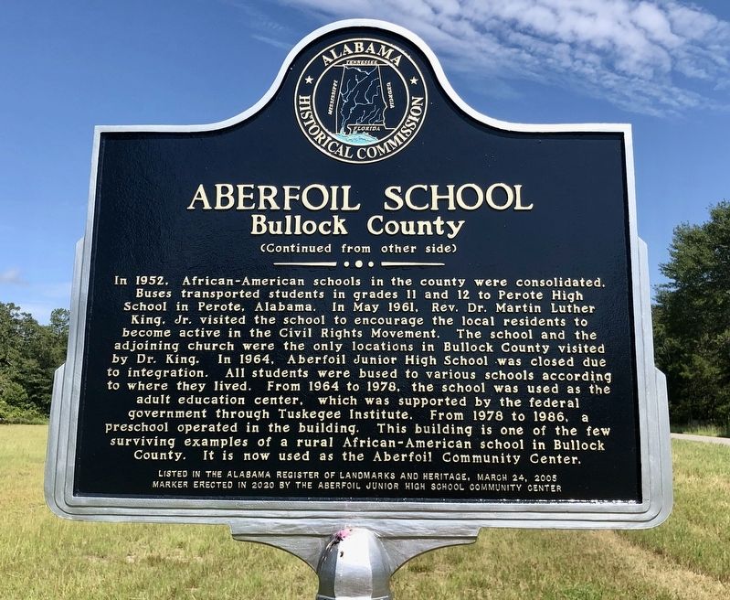
2. Aberfoil School Marker (side 2)
Other nearby markers. At least 8 other markers are within 6 miles of this marker, measured as the crow flies: Aberfoil Community (approx. half a mile away); Indian Treaty Boundary Line (approx. 4.3 miles away); Sardis Baptist Church, Cemetery, and School (approx. 4.8 miles away); a different marker also named Indian Treaty Boundary Line (approx. 5.1 miles away); Trinity Episcopal Church / Red Door Theater (approx. 5.2 miles away); Log Cabin Museum / Old City Cemetery (approx. 5.2 miles away); Hank Williams (approx. 5.3 miles away); Bullock County Courthouse Historic District (approx. 5.3 miles away).
Photographed by Mark Hilton, July 26, 2020
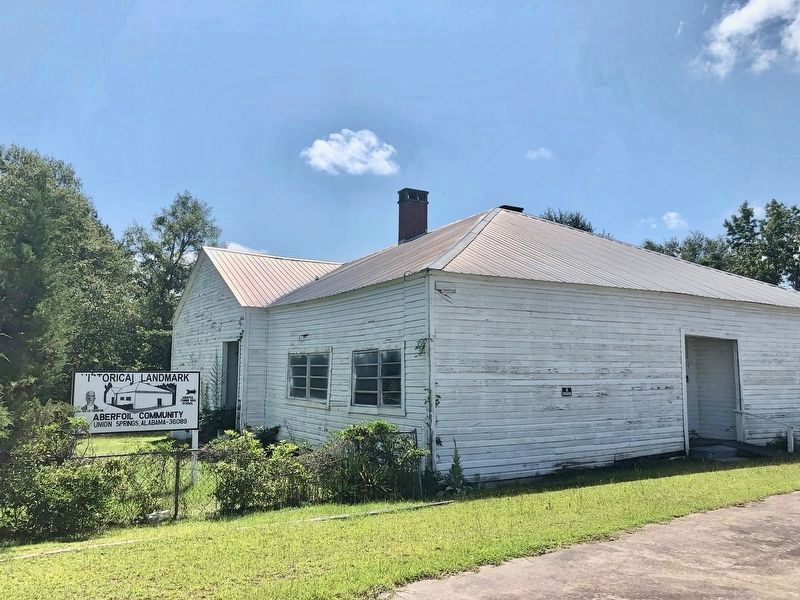
3. A former Aberfoil School.
This former Aberfoil School building is one of the largest wooden black school buildings documented in Alabama that is not a Rosenwald School. Efforts are being made to save the building.
Photographed by Mark Hilton, July 26, 2020
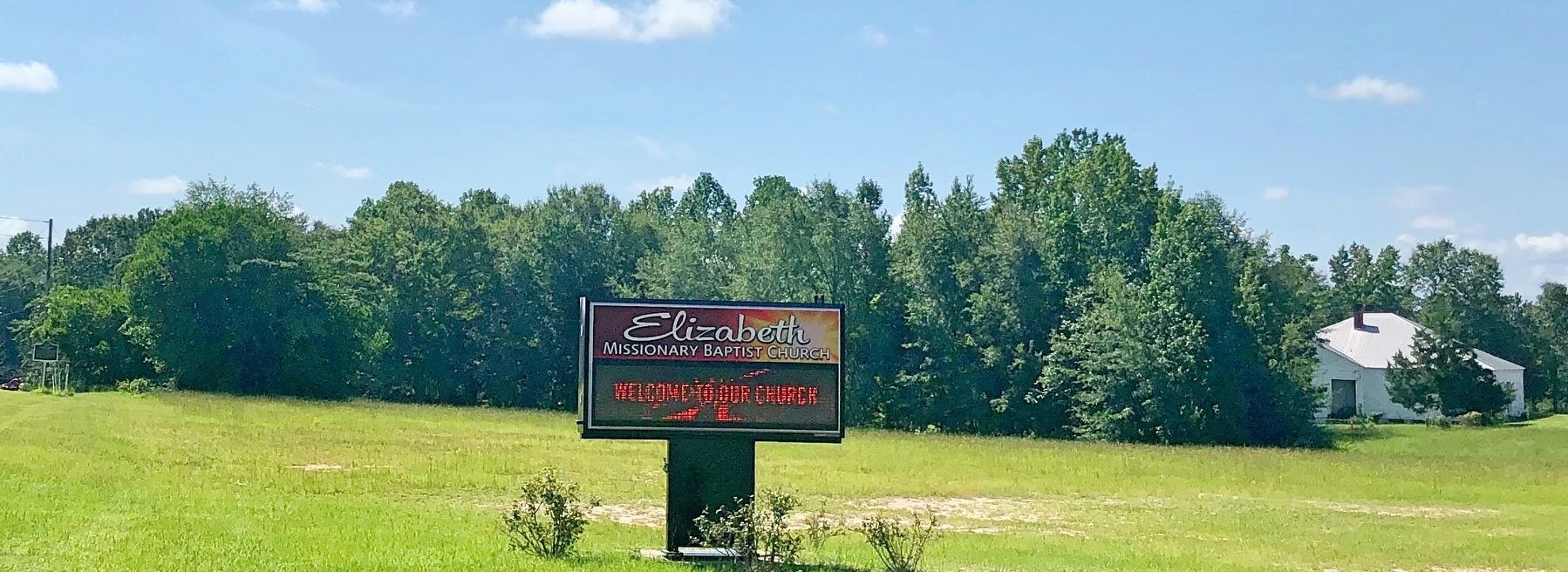
4. View of school (deep right) and marker (extreme left).
Credits. This page was last revised on July 31, 2020. It was originally submitted on July 26, 2020, by Mark Hilton of Montgomery, Alabama. This page has been viewed 1,042 times since then and 52 times this year. Photos: 1, 2, 3, 4. submitted on July 26, 2020, by Mark Hilton of Montgomery, Alabama.
