Woodbine in Cape May County, New Jersey — The American Northeast (Mid-Atlantic)
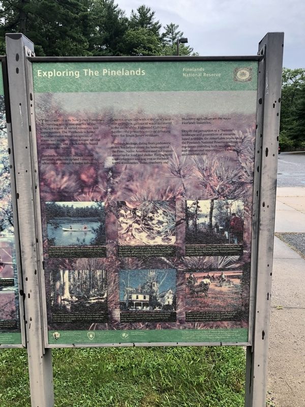
Exploring the Pines
Pinelands National Reserve
The 1.1 million acre New Jersey Pinelands, covering nearly covering nearly one quarter of the state, is a region of varied resources and opportunities. The Pinelands is home to almost twelve hundred species of plants and animals, many unique natural environments, and a rich folklife based on its natural wealth.
Pinelands ecosystems include coastal wetlands, pine/oak upland forests, and white cedar swamps. a major influence on these resources lies within the sandy soil—over a trillion gallons of water are stored in the sands of the Kirkwood/Cohansey Aquifer—the primary source in drinking water for South Jersey residents.
Pinelands heritage, dating from prehistoric times, has helped create the landscapes of the Pines. Native Americans used the region's resources for food and shelter. Early settlers used cedar trees and bog iron as the basis for local industries. Today, cranberry and blueberry agriculture are the major Pinelands Industries.
Despite the perception of a "barrens" landscape and generations of resource-based activities, the remarkable treasures of the Pinelands National Reserve continue to regenerate providing both inspirational and recreational opportunities for visitors and residents alike.
Erected by National Park Service, U.S. Department of the Interior; State of New Jersey Division of Parks & Forestry; State of New Jersey Pinelands Conservation.
Topics. This historical marker is listed in these topic lists: Horticulture & Forestry • Industry & Commerce • Natural Resources • Settlements & Settlers.
Location. 39° 14.905′ N, 74° 50.56′ W. Marker is in Woodbine, New Jersey, in Cape May County. Marker can be reached from Henkensifkin Road, 0.1 miles south of Woodbine Avenue (County Road 550), on the right when traveling south. Touch for map. Marker is at or near this postal address: 1 Henkensifkin Rd, Woodbine NJ 08270, United States of America. Touch for directions.
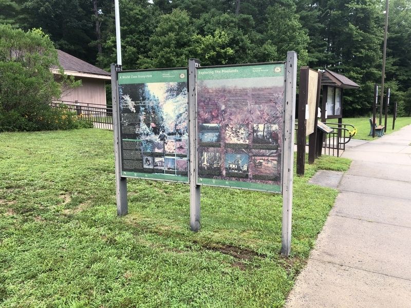
Other nearby markers. At least 8 other markers are within 5 miles of this marker, measured as the crow flies. A World Class Ecosystem (here, next to this marker); Veterans Memorial (approx. 1½ miles away); Memorial Field (approx. 1½ miles away); a different marker also named Veterans Memorial (approx. 1½ miles away); Roll of Honor (approx. 1.6 miles away); The Tie That Binds (approx. 4½ miles away); The Head of the River Church (approx. 4½ miles away); The Etna (Aetna) Furnace (approx. 4½ miles away). Touch for a list and map of all markers in Woodbine.

Photographed By Devry Becker Jones (CC0), July 24, 2020
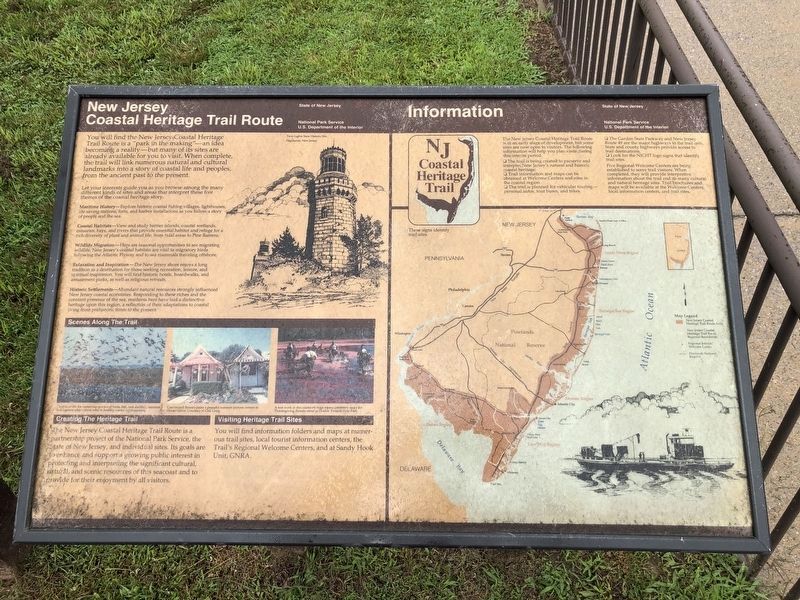
3. New Jersey Coastal Heritage Trail Route
Additional sign nearby
Credits. This page was last revised on January 25, 2022. It was originally submitted on July 27, 2020, by Devry Becker Jones of Washington, District of Columbia. This page has been viewed 93 times since then and 13 times this year. Photos: 1, 2, 3. submitted on July 27, 2020, by Devry Becker Jones of Washington, District of Columbia.

