What Happened Here?
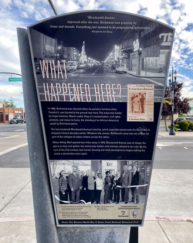
In 1968, Richmond was shocked when its premiere furniture store, Travalini's, was burned to the ground near here. The arson was fueled by larger tensions: Martin Luther King Jr.'s assassination, civil rights protests, and closer to home, the shooting of an African-American youth by Richmond police.
The loss hastened Macdonald Avenue's decline, which some felt started with the World War II shipyard closure decades earlier. Whatever the causes, Richmond's story was not unique but part of the collapse of urban centers across the nation.
When Hilltop Mall opened four miles away in 1975, Macdonald Avenue was no longer the place to shop and gather; but community leaders and activists refused to let it die. By the turn of the 21st century new transit, housing and retail developments began making the street a destination once again.
"Macdonald Avenue...
improved after the war. Richmond was growing by
leaps and bounds. Everything just seemed to be progressing, prosperous."
Margherita Siri Bargy
Erected by City of Richmond.
Topics. This historical marker is listed in this topic list: Industry & Commerce. A significant historical year for this entry is 1968.
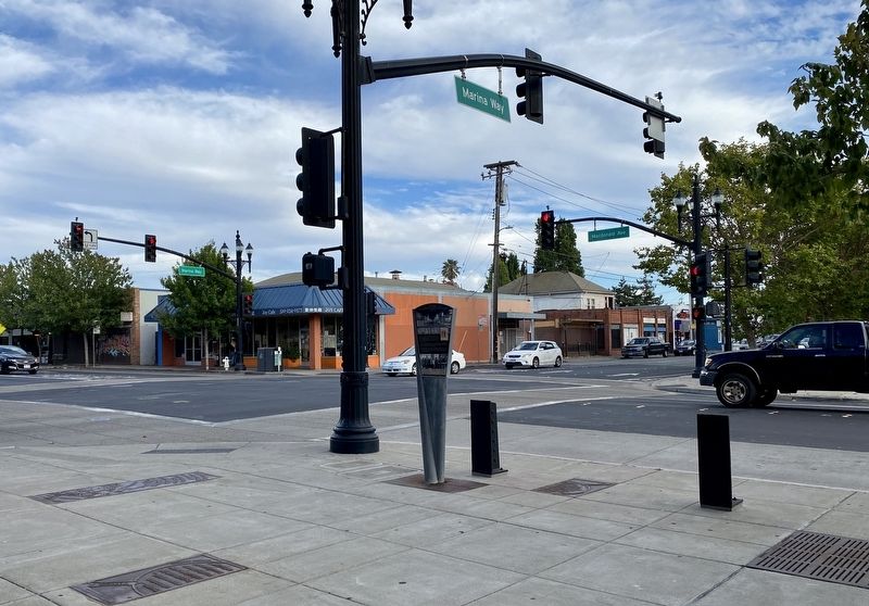
Location. 37° 56.148′ N, 122° 21.384′ W. Marker is in Richmond, California
Other nearby markers. At least 8 other markers are within 2 miles of this marker, measured as the crow flies. Welcome to Richmond (about 800 feet away, measured in a direct line); Center of Town (approx. 0.2 miles away); City of Richmond Employees World War II Memorial (approx. ¾ mile away); Richmond Native Sons/Daughters of the Golden West Veterans Memorial (approx. ¾ mile away); Willie Mays (approx. 0.9 miles away); Harry Ells School (approx. one mile away); El Toro (approx. 1.3 miles away); Rosie the Riveter Memorial (approx. 1.6 miles away). Touch for a list and map of all markers in Richmond.
Credits. This page was last revised on July 29, 2020. It was originally submitted on July 29, 2020, by Andrew Ruppenstein of Lamorinda, California. This page has been viewed 341 times since then and 53 times this year. Photos: 1, 2. submitted on July 29, 2020, by Andrew Ruppenstein of Lamorinda, California.

