Olympia in Thurston County, Washington — The American West (Northwest)
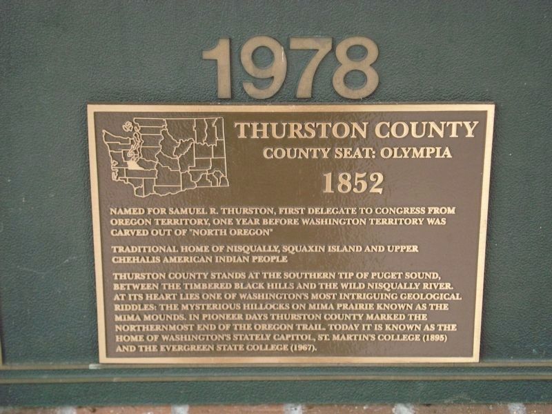
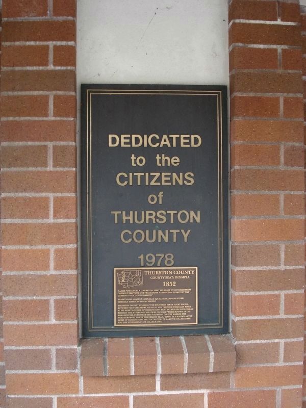
Thurston County
County Seat: Olympia
— 1852 —
Traditional home of Nisqually, Squaxin Island and Upper Chehalis American Indian people
Thurston County stands at the southern tip of Puget Sound, between the timbered Black Hills and the wild Nisqually River. At its heart lies one of Washington’s most intriguing geological riddles: the mysterious hillocks of Mima Prairie known as the Mima Mounds. In pioneer days Thurston County marked the northernmost end of the Oregon Trail. Today it is known as the home of Washington’s stately capitol, St. Martin’s College (1895) and the Evergreen State College (1967).
Topics. This historical marker is listed in this topic list: Political Subdivisions. A significant historical year for this entry is 1852.
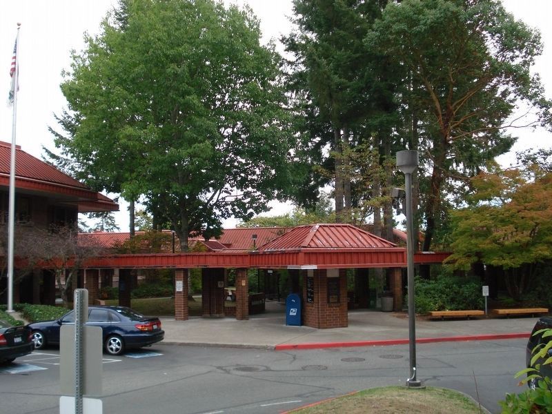
Location. 47° 1.787′ N, 122° 54.735′ W. Marker is in Olympia, Washington, in Thurston County. Marker is on Lakeridge Drive, on the right when traveling north. At pedestrian entrance to Thurston County Government Complex. Touch for map. Marker is at or near this postal address: 2000 Lakeridge Drive, Olympia WA 98501, United States of America. Touch for directions.
Other nearby markers. At least 8 other markers are within walking distance of this marker. The Lone Tree (approx. half a mile away); Marathon Park (approx. half a mile away); POW AND MIA Monument (approx. 0.6 miles away); The Medal of Honor Monument (approx. 0.6 miles away); Washington's State Capitol Design (approx. 0.7 miles away); The First William Winlock Miller High School (approx. 0.7 miles away); Putting down roots (approx. 0.7 miles away); Crosby House (approx. 0.7 miles away). Touch for a list and map of all markers in Olympia.
Credits. This page was last revised on July 29, 2020. It was originally submitted on July 29, 2020, by Roger Dean Meyer of Yankton, South Dakota. This page has been viewed 142 times since then and 9 times this year. Photos: 1, 2, 3, 4. submitted on July 29, 2020, by Roger Dean Meyer of Yankton, South Dakota.


