Seguin in Guadalupe County, Texas — The American South (West South Central)
The Ranger Oaks
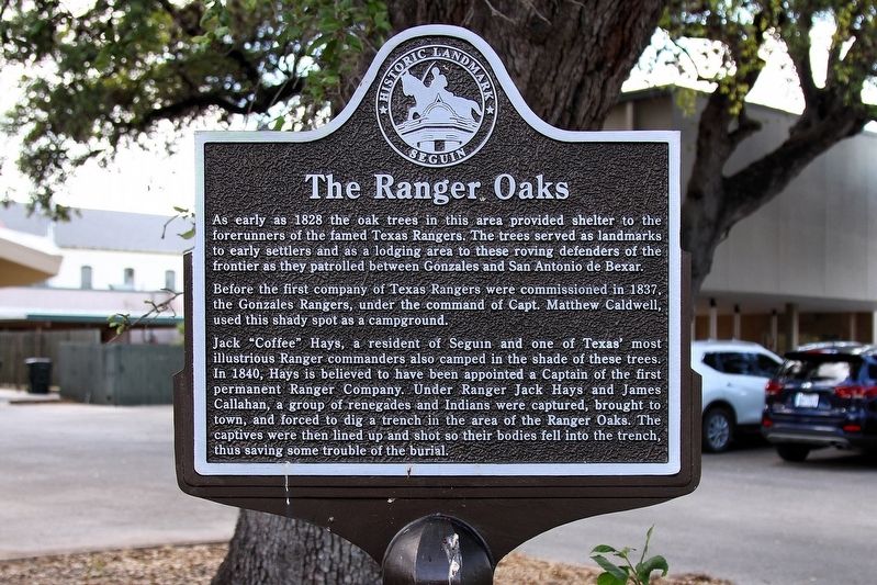
Photographed by Larry D. Moore, July 28, 2020
1. The Ranger Oaks Marker
Before the first company of Texas Rangers were commissioned in 1837, the Gonzales Rangers, under the command of Capt. Matthew Caldwell, used this shady spot as a campground.
Jack "Coffee" Hays, a resident of Seguin and one of Texas' most illustrious Ranger commanders also camped in the shade of these trees. In 1840, Hays is believed to have been appointed a Captain of the first permanent Ranger Company. Under Ranger Jack Hays and James Callahan, a group of renegades and Indians were captured, brought to town, and forced to dig a trench in the area of the Ranger Oaks. The captives were then lined up and shot so their bodies fell into the trench, thus saving some trouble of the burial.
Topics. This historical marker is listed in this topic list: Landmarks. A significant historical year for this entry is 1828.
Location. 29° 34.172′ N, 97° 57.975′ W.
this page online

Regionally, this marker is in the Hill Country and in the San Antonio Metropolitan Area. It is also in the American South. Globally, it is in North America, a Gulf of Mexico state, the Western Hemisphere, the Western World, and the Anglosphere. Historically, it finds itself in what was once New Spain, the Republic of Texas, and one of the Confederate States of America.
Other nearby markers. At least 8 other markers are within walking distance of this marker: Guadalupe County Veterans Memorial (about 600 feet away, measured in a direct line); Seguin (about 700 feet away); Old Spanish Trail (about 700 feet away); Zuehl Family Fence (about 700 feet away); The War Dead of Guadalupe County (about 800 feet away); "White Way" Lighting (about 800 feet away); The Alfred H. Koebig Central Park Fountain (about 800 feet away); Guadalupe County, C.S.A.
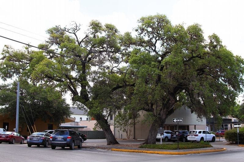
Photographed by Larry D. Moore, July 28, 2020
2. The Ranger Oaks Marker Area
Credits. This page was last revised on July 30, 2020. It was originally submitted on July 30, 2020, by Larry D. Moore of Del Valle, Texas. This page has been viewed 1,480 times since then and 88 times this year. Photos: 1, 2. submitted on July 30, 2020, by Larry D. Moore of Del Valle, Texas.
