Dana Point in Orange County, California — The American West (Pacific Coastal)
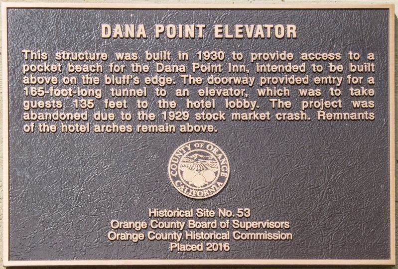
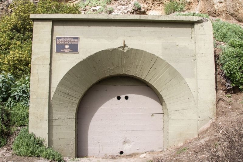
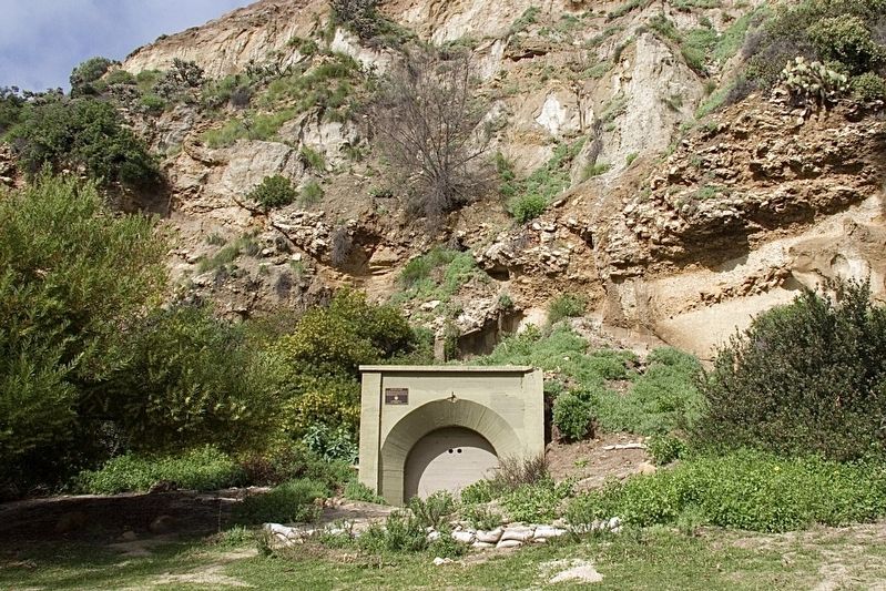
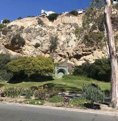
Dana Point Elevator
Erected 2016 by Orange County Board of Supervisors, Orange County Historical Commission. (Marker Number 53.)
Topics. This historical marker is listed in this topic list: Industry & Commerce. A significant historical year for this entry is 1930.
Location. 33° 27.781′ N, 117° 42.032′ W. Marker is in Dana Point, California, in Orange County. Marker is on Dana Point Harbor Drive, 0.1 miles west of Island Way, on the right when traveling west. Touch for map. Marker is at or near this postal address: 24443 Dana Point Harbor Drive, Dana Point CA 92629, United States of America. Touch for directions.
Other nearby markers. At least 8 other markers are within walking distance of this marker. Harbor / Pilgrim (within shouting distance of this marker); Dana Point Inn (about 300 feet away, measured in a direct line); The History Beneath Your Feet: Concrete Curb and Sidewalk Stamps (approx. 0.2 miles away); Auditorium (approx. ¼ mile away); Richard Henry Dana Jr. (approx. 0.3 miles away); Telephone Office (approx. 0.3 miles away); Dana Point (approx. 0.4 miles away); Don Hansen, Dana Wharf Sportfishing (approx. half a mile away). Touch for a list and map of all markers in Dana Point.
Credits. This page was last revised on December 18, 2023. It was originally submitted on August 2, 2020, by Craig Baker of Sylmar, California. This page has been viewed 747 times since then and 296 times this year. Photos: 1, 2, 3. submitted on August 2, 2020, by Craig Baker of Sylmar, California. 4. submitted on March 1, 2022, by Adam Margolis of Mission Viejo, California. • Andrew Ruppenstein was the editor who published this page.


