Godfrey in Madison County, Illinois — The American Midwest (Great Lakes)
Lindbergh Relay Station
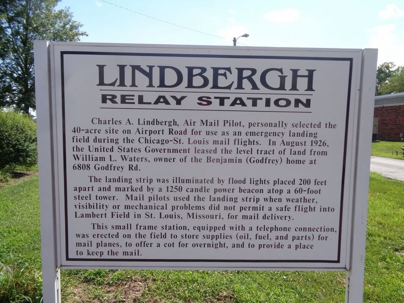
The landing strip was illuminated by flood lights placed 200 feet apart and marked by a 1250 candle power beacon atop a 60-foot steel tower. Mail pilots used the landing strip when weather, visibility or mechanical problems did not permit a safe flight into Lambert Field in St. Louis, Missouri, for mail delivery.
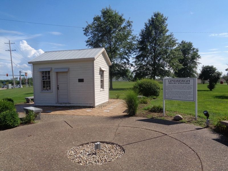
This small frame station, equipped with a telephone connection, was erected on the field to store supplies (oil, fuel, and parts) for mail planes, to offer a cot for overnight, and to provide a place to keep the mail.
Topics. This historical marker is listed in these topic lists: Air & Space • Communications. A significant historical month for this entry is August 1926.
Location. 38° 58.163′ N, 90° 11.641′ W. Marker is in Godfrey, Illinois, in Madison County. Marker is on Godfrey Road (U.S. 67) north of Lars Hoffman Crossing, on the right when traveling south. Marker is located at Homer Adams Park, next to Godfrey's municipal buildings. Touch for map. Marker is at or near this postal address: 6810 Godfrey Rd, Godfrey IL 62035, United States of America. Touch for directions.
Other nearby markers. At least 8 other markers are within 4 miles of this marker, measured as the crow flies. Godfrey Mansion (about 600 feet away, measured in a direct line); Benjamin Godfrey (approx. 0.9 miles away); Godfrey Cemetery (approx. 0.9 miles away); Monticello College (approx. 1.3 miles away); Benjamin Godfrey Memorial Chapel (approx. 1.3 miles away); Veterans Memorial (approx. 3.1 miles away); Plank Road (approx. 3.3 miles away); North Alton Confederate Cemetery (approx. 3˝ miles away). Touch for a list and map of all markers in Godfrey.
Also see . . . Dunphy: Lindbergh: aviator and political extremist. An editorial piece from The Telegraph (Alton's newspaper), from local history John J. Dunphy, where he writes about the city of Alton and Godfrey's connection with Charles Lindbergh. Lindbergh would make his famous flight over the Atlantic in 1927, but his later life was filled with controversy. Dunphy provides a perspective on both sides of Lindbergh. (Submitted on August 2, 2020, by Jason Voigt of Glen Carbon, Illinois.)
Credits. This page was last revised on August 3, 2020. It was originally submitted on August 2, 2020, by Jason Voigt of Glen Carbon, Illinois. This page has been viewed 440 times since then and 34 times this year. Photos: 1, 2. submitted on August 2, 2020, by Jason Voigt of Glen Carbon, Illinois.

