Newhall in Santa Clarita in Los Angeles County, California — The American West (Pacific Coastal)
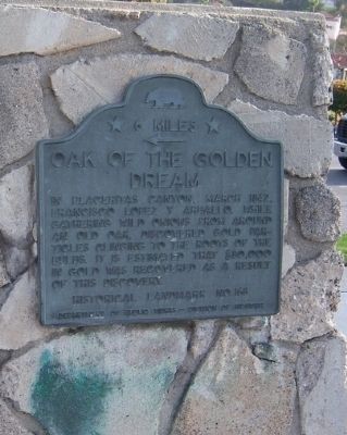
Oak of the Golden Dream
← 6 Miles
Erected by Department of Public Works - Division of Highways. (Marker Number 168.)
Topics. This historical marker is listed in these topic lists: Natural Resources • Notable Places. A significant historical year for this entry is 1842.
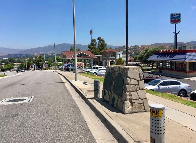
Location. 34° 22.696′ N, 118° 33.83′ W. Marker is in Santa Clarita, California, in Los Angeles County. It is in Newhall. Marker is on Lyons Avenue just east of Interstate 5, on the right when traveling east. Park at the Burger King to view the marker. Touch for map. Marker is at or near this postal address: 24530 Lyons Ave, Newhall CA 91321, United States of America. Touch for directions.
Other nearby markers. At least 8 other markers are within 3 miles of this marker, measured as the crow flies. Pioneer Oil Refinery (here, next to this marker); Santa Clarita History Bear (approx. 2 miles away); American Bison (approx. 2 miles away); William J. Johnston Jr. (approx. 2 miles away); American Revolution (approx. 2 miles away); Saugus School Bell (approx. 2.1 miles away); William S. Hart Park and Museum (approx. 2.2 miles away); Newhall Ranch House (approx. 2.3 miles away). Touch for a list and map of all markers in Santa Clarita.
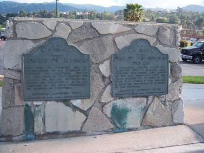
More about this marker. The marker shares a base with the Pioneer Oil Refinery marker.
Regarding Oak of the Golden Dream. The site was designated California Historical Landmark No. 168 on March 6, 1935.
This is one of four directional markers with identical text, at four different locations around the Santa Clarita Valley. Another at Beale’s Cut is missing. They all have Placerita misspelled as Placeritas.
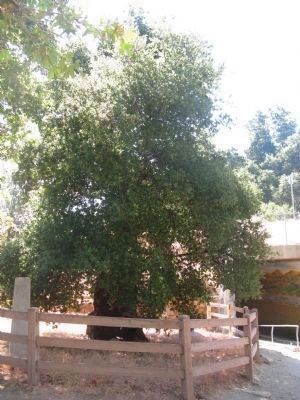
Related marker. Click here for another marker that is related to this marker. — Oak of The Golden Dream at Placerita Canyon Park.
Credits. This page was last revised on January 30, 2023. It was originally submitted on June 11, 2010. This page has been viewed 1,316 times since then and 25 times this year. Last updated on August 5, 2020, by Craig Baker of Sylmar, California. Photos: 1, 2. submitted on May 13, 2010, by Konrad R Summers of Santa Clarita, California. 3. submitted on August 8, 2019, by Craig Baker of Sylmar, California. 4. submitted on June 20, 2009. • J. Makali Bruton was the editor who published this page.


