Republic in Marquette County, Michigan — The American Midwest (Great Lakes)
Reopening the Mine and Moving Republic
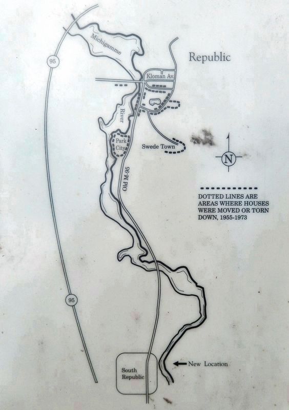
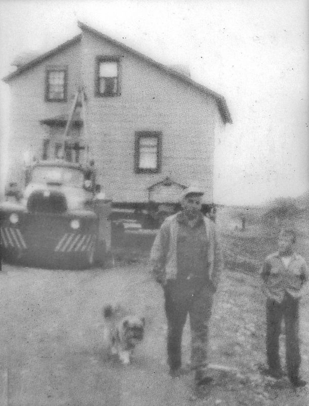
In 1950 rumors circulated that the long period of mine inactivity was coming to an end. Cleveland Cliffs began a huge expansion program and reopened the mine to create an open pit mine producing pelletized ore. It necessitated moving about half of the homes in Republic to a site about 3 miles south and demolishing many others, including the Republic Central School. Between 1955 and 1973 about 90 homes were moved successfully by the Schutte Moving Company of Wausau, Wisconsin. Most had been on company land.
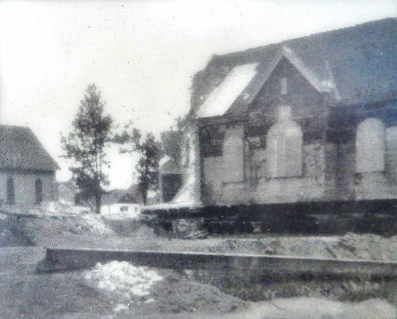
The largest and last building moved was the Bethany Lutheran Church. The bricks and the steeple were removed and the stained glass windows boarded up. In 1962-63 a new school was built in South Republic, after several years of negotiations. After an extended Christmas vacation, classes began there in February of 1964.
The advantages were more job opportunities lasting for many years, a fine new school at a reasonable cost and better housing for many. The main disadvantages were a geographically divided community and an economically troubled business section which continues to plague us.
Erected by Republic Area Historical Society and Cleveland-Cliffs Iron Incorporated .
Topics. This historical marker is listed in this topic list: Industry & Commerce. A significant historical year for this entry is 1955.
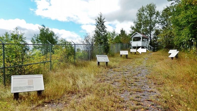
Location. 46° 24.206′ N, 87° 58.916′ W. Marker is in Republic, Michigan, in Marquette County. Marker can be reached from Park City Road, 0.2 miles south of River Road (County Road 601), on the right when traveling south. This is one of several interpretive markers at observation site overlooking the former Republic Open Pit Mine. Site access is from a parking area on the west side of Park City Road. Touch for map. Marker is in this post office area: Republic MI 49879, United States of America. Touch for directions.
Other nearby markers. At least 8 other markers are within walking distance of this marker. The Republic Open Pit Mine (here, next to this marker); Community History and Other Industries (here, next to this marker); The Life of a Miner (a few steps from this marker); Early Mine Exploration and Development (a few steps from this marker); Welcome to the Republic Open Pit Mine Observation Site (a few steps from this marker); The Republic Iron Company (approx. 0.2 miles away); Cecil E. Munson Memorial (approx. 0.2 miles away); Old Kloman Bridge (approx. 0.2 miles away). Touch for a list and map of all markers in Republic.
Related markers. Click here for a list of markers that are related to this marker. The Republic Iron Mine, Republic, Michigan
Also see . . .
Cleveland-Cliffs Inc. (Wikipedia). Demand for American iron ore hit peaks during World War I, World War II, and the post-WWII consumer boom. The Republic Mine was converted from a shaft mine to an open pit and concentrator in 1956 and a two-kiln pellet plant was added in 1962. The periods following the recessions of 1974–75 and 1981–83 were harsh ones for the iron ore industry. Cleveland-Cliffs shrank its operations. The Republic Mine was idled in 1981 and closed for good in 1996, when Cliffs began turning the associated tailings ponds into compensatory wetlands for its other properties. (Submitted on August 8, 2020, by Cosmos Mariner of Cape Canaveral, Florida.)
Credits. This page was last revised on August 8, 2020. It was originally submitted on August 7, 2020, by Cosmos Mariner of Cape Canaveral, Florida. This page has been viewed 165 times since then and 12 times this year. Photos: 1. submitted on August 7, 2020, by Cosmos Mariner of Cape Canaveral, Florida. 2, 3, 4, 5. submitted on August 8, 2020, by Cosmos Mariner of Cape Canaveral, Florida.


