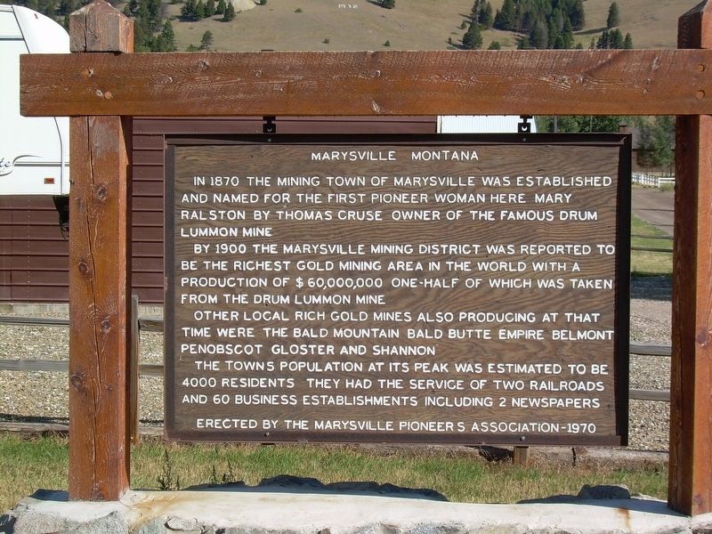
Marysville, Montana
By 1900, the Marysville Mining District was reported to be the richest gold mining area in the world with a production of $60,000,000 one-half of which was taken from the Drum Lummon mine.
Other local rich gold mines also producing at that time were the Bald Mountain, Bald Butte, Empire, Belmont, Penobscot, Gloster and Shannon.
The towns population at its peak was estimated to be 4000 residents. They had the service of two railroads and 60 business establishments including 2 newspapers.
Erected by the Marysville Pioneers Association - 1970.
Erected 1970 by Marysville Pioneers Association.
Topics. This historical marker is listed in these topic lists: Industry & Commerce • Settlements & Settlers. A significant historical year for this entry is 1870.
Location. 46° 44.902′ N, 112° 17.986′ W. Marker is in Marysville, Montana, in Lewis and Clark County. Marker is at the intersection of 1st Street and Grand Street, on the right when traveling west on 1st Street. The marker is on 1st Street which is the short street before Marysville Road becomes Belmont Drive. Touch for map. Marker is in this post office area: Marysville MT 59640, United States of America. Touch for directions.
Other nearby markers.
More about this marker. Marker is well kept and fully visible from the road.
Regarding Marysville, Montana. Settlement of Marysville, Montana. Information on gold mining in the area.
Credits. This page was last revised on August 20, 2020. It was originally submitted on August 8, 2020, by Doreen Thomson of Calgary, Alberta Canada. This page has been viewed 339 times since then and 35 times this year. Photo 1. submitted on August 9, 2020, by Doreen Thomson of Calgary, Alberta Canada. • Andrew Ruppenstein was the editor who published this page.
Editor’s want-list for this marker. A wide shot of the marker and its surroundings. • Can you help?
