Downtown Austin in Travis County, Texas — The American South (West South Central)
Texas State Capitol
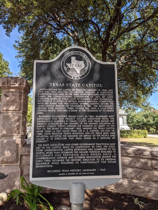
Austin became the capital of Texas on January 19, 1840, and this hill was platted as Capitol Square. A limestone statehouse built here in the 1850's soon developed structural flaws. The Constitutional Convention of 1876 set aside 3,000,000 acres of public land to finance a new statehouse. Architect E. E Myers of Detroit won a national competition with his plans for this Capitol several months before the 1850's Capitol burned on November 9, 1881. The renaissance revival style building, three stories tall with a four story central block, features a dome at the crossing of its major axes.
Basement excavations began early in 1882. Railroads built especially for this project hauled limestone from the Oatmanville quarries in Travis County and Texas Sunset Red Granite donated by the owners of the Granite Mountain in Burnet County. Crews hoisted the Goddess of Liberty to the top of the dome in February 1888, making the Texas Capitol more than 14 feet taller than the U.S. Capitol. On May 18, 1888, State Senator Temple Houston, son of Texas hero Sam Houston, accepted the building on behalf of the people and called it "A structure that shall stand as a sentinel of eternity."
The state legislature and other government function have met in the Capitol since its completion. In 1993, the four-story underground Capitol extension was completed to the North, more than doubling the square footage available to occupants and providing much needed space. A comprehensive interior and exterior renovation during the early 1990's returned the historic structure to its original grandeur while ensuring its functionality for future generations.
Erected 1965 by Texas Historical Commission. (Marker Number 14150.)
Topics. This historical marker is listed in this topic list: Government & Politics. A significant historical date for this entry is January 19, 1840.
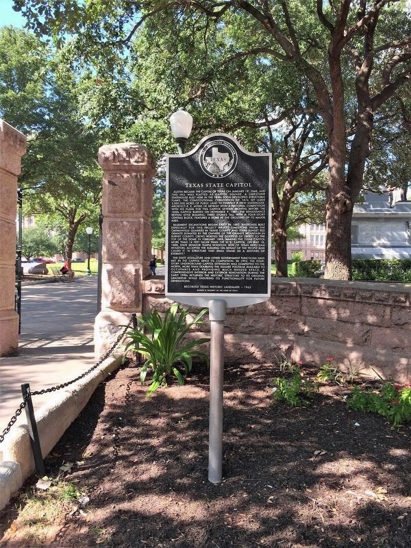
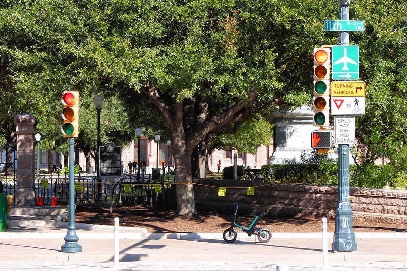
Location. 30° 16.376′ N, 97° 44.458′ W. Marker is in Austin, Texas, in Travis County. It is in Downtown Austin. Marker is at the intersection of W 11th Street and Congress Avenue, on the right when traveling west on W 11th Street. Touch for map. Marker is in this post office area: Austin TX 78701, United States of America. Touch for directions.
Other nearby markers. At least 8 other markers are within walking distance of this marker. Capitol Fence (a few steps from this marker); Capitol Grounds Design (a few steps from this marker); Southern Confederacy Monument (within shouting distance of this marker); Site of Second Travis County Courthouse and Walton Building (within shouting distance of this marker); Governor James Edward Ferguson August 31, 1871 -September 21, 1944 (within shouting distance of this marker); Governor Andrew Jackson Hamilton (within shouting distance of this marker); The Woman Suffrage Movement in Texas (within shouting distance of this marker); African Americans in the Texas Revolution (within shouting distance of this marker). Touch for a list and map of all markers in Austin.
Regarding Texas State Capitol. Note that although the marker is dated 1965, it mentions events from the 1990s in the last paragraph. This is a replacement marker that kept the original marker year and modified the original text.
Credits. This page was last revised on February 14, 2024. It was originally submitted on August 11, 2020, by Pat Filippone of Stockton, California. This page has been viewed 457 times since then and 62 times this year. Last updated on February 13, 2024, by Jeff Leichsenring of Garland, Texas. Photos: 1. submitted on August 11, 2020, by Pat Filippone of Stockton, California. 2. submitted on March 4, 2021, by Richard Denney of Austin, Texas. 3. submitted on December 22, 2020, by Larry D. Moore of Del Valle, Texas. • James Hulse was the editor who published this page.


