Camp Hancock Site Map
Camp Hancock State Historic Site
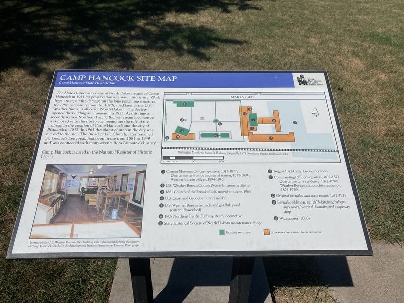
Camp Hancock is listed in the National Register of Historic Places.
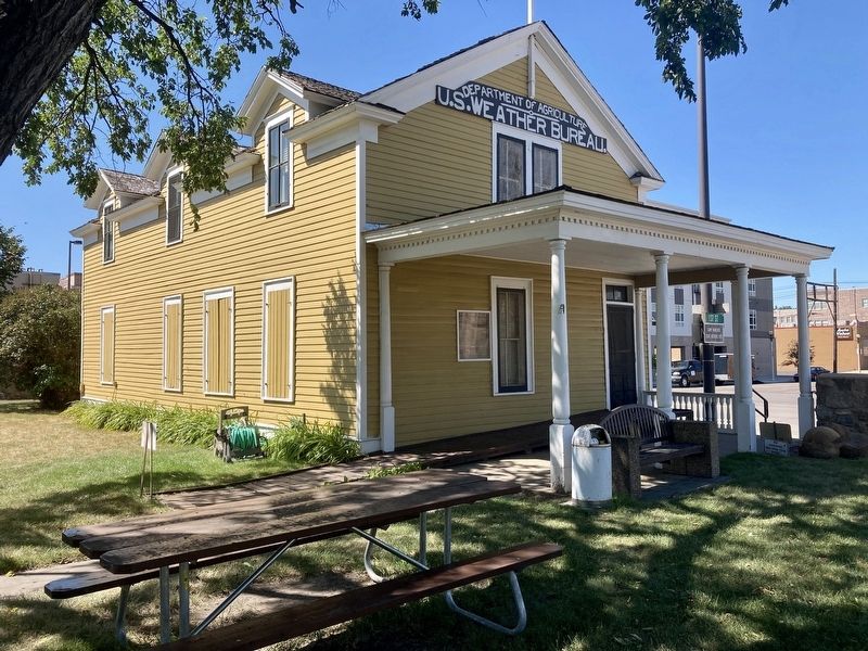
1. Current Museum; Officers' quarters, 1872-1877; Quartermaster's office and signal station, 1877-1894; Weather Bureau offices, 1894-1940
2. U.S. Weather Bureau Cotton Region Instrument Shelter
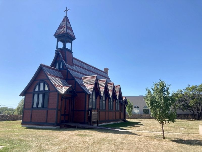
3. 1881 Church of the Bread of Life, moved to site in 1965
4. U.S. Coast and Geodetic Survey marker
5. U.S.
this page online
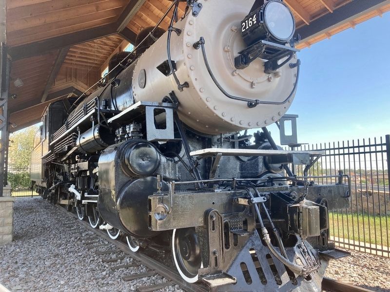
6. 1909 Northern Pacific Railway steam locomotive
7. State Historical Society of Northern Dakota Maintenance shop
8. August 1872 Camp Greeley location
9. Commanding Officer's quarters, 1872-1877 Quartermaster's residence, 1877-1890s Weather Bureau station chief residence, 1894-1920s
10. Original barracks and mess rooms, 1972-1875 11. Barracks addition, ca. 1875-kitchen, bakery, dispensary, hospital, laundry, and carpentry shop
12. Warehouses, 1880s
Picture caption: Interior of the U.S. Weather Bureau office building with exhibits highlighting the history of Camp Hancock
Erected by State Historical Society of North Dakota.
Topics. This historical marker is listed in these topic lists: Forts and Castles • Railroads & Streetcars • Religion & Religious Structures. A significant historical year for this entry is 1951.
Location. 46° 48.312′ N, 100° 47.425′ W. Marker is in Bismarck, North Dakota, in Burleigh County. It can be reached from the intersection of East Main Avenue and North 1st Street, on the right when traveling east. Touch for map. Marker is
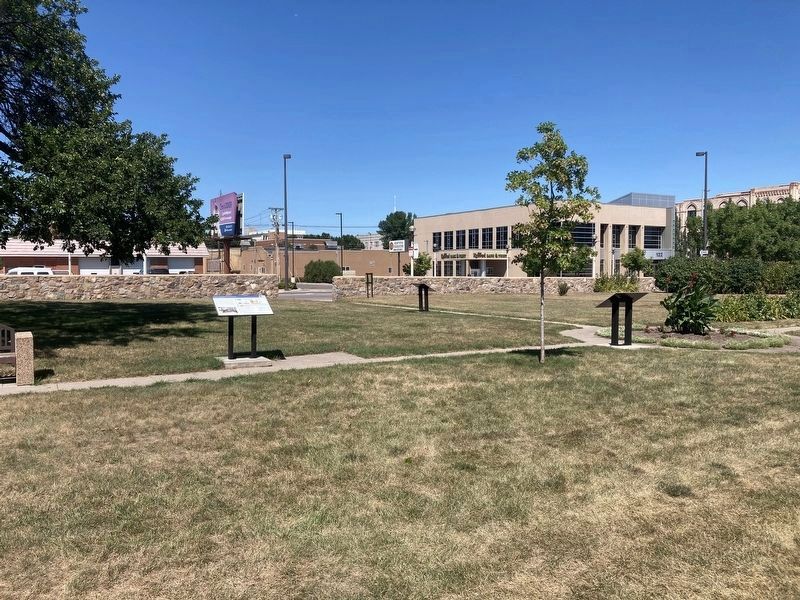

Regionally, this marker is on the Missouri Plateau. It is also in the American Lewis & Clark Corridor, on the prairies, and on the Northern Plains. Globally, it is in North America, the Western Hemisphere, the Western World, and the Anglosphere. Historically, it finds itself in what was once Rupert’s Land and also the Louisiana Purchase.
Other nearby markers. At least 8 other markers are within walking distance of this marker: Locomotive #2164 (here, next to this marker); Episcopalian Services In The Area (a few steps from this marker); Hancock History (a few steps from this marker); Church of the Bread of Life (a few steps from this marker); Federal Building (approx. 0.2 miles away); First News of Custer’s Death (approx. ¼ mile away); Burleigh County Veterans Memorial (approx. 0.3 miles away); Site of First Court House of Burleigh County, Dakota Territory (approx. 0.3 miles away). Touch for a list and map of all markers in Bismarck.
Also see . . . Camp Hancock State Historic Site. (Submitted on August 11, 2020, by Connor Olson of Menomonee Falls, Wisconsin.)
Credits. This page was last revised on August 15, 2020. It was originally submitted on August 11, 2020, by Connor Olson of Menomonee Falls, Wisconsin. This page has been viewed 393 times since then and 36 times this year. Photos: 1, 2, 3, 4, 5. submitted on August 11, 2020, by Connor Olson of Menomonee Falls, Wisconsin. • Mark Hilton was the editor who published this page.
