Norris City in White County, Illinois — The American Midwest (Great Lakes)
War Emergency Pipeline
Photographed by Jason Voigt, August 11, 2020
1. War Emergency Pipeline Marker
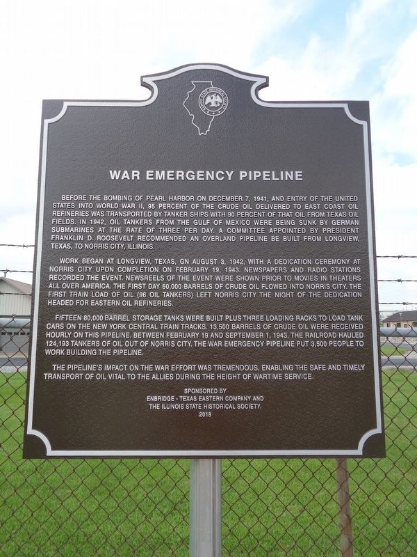
Before the bombing of Pearl Harbor on December 7, 1941, and entry of the United States into World War II, 95 percent of the crude oil delivered to east coast oil refineries was transported by tanker ships with 90 percent of that oil from Texas oil fields. In 1942, oil tankers from the Gulf of Mexico were being sunk by German submarines at the rate of three per day. A committee appointed by President Franklin D. Roosevelt recommended an overland pipeline be built from Longview, Texas, to Norris City, Illinois.
Work began at Longview, Texas, on August 3, 1942, with a dedication ceremony at Norris City upon completion on February 19, 1943. Newspapers and radio stations recorded the event. Newsreels of the event were shown prior to movies in theaters all over America. The first day 60,000 barrels of crude oil flowed into Norris City. The first train load of oil (96 oil tankers) left Norris City the night of the dedication headed for eastern oil refineries.
Fifteen 80,000 barrel storage tanks were built plus three loading racks to load tank cars on the New York Central train tracks, 13,500 barrels of crude oil were received
this page online
The pipeline's impact on the war effort was tremendous. Enabling the safe and timely transport of oil vital to the Allies during the height of wartime service.
Erected 2018 by Enbridge-Texas Eastern Company and the Illinois State Historical Society.
Topics and series. This historical marker is listed in these topic lists: Industry & Commerce • Railroads & Streetcars • War, World II. In addition, it is included in the Illinois State Historical Society series list. A significant historical date for this entry is February 19, 1943.
Location. 37° 58.859′ N, 88° 18.967′ W. Marker is in Norris City, Illinois, in White County. It is on East Main Street west of Illinois Route 1, on the right when traveling west. Touch for map. Marker is at or near this postal address: 304 Co Rd 16, Norris City IL 62869, United States of America. Touch for directions.

Regionally, this marker is in Southern Illinois — Little Egypt, in the Tri-State Region,
Photographed by Jason Voigt, August 11, 2020
2. War Emergency Pipeline Marker
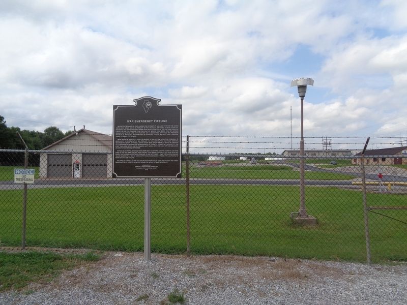
Marker is in front of the grounds of Texas Eastern Commission
Other nearby markers. At least 8 other markers are within 9 miles of this marker, measured as the crow flies: Railroads (approx. 0.7 miles away); Schools (approx. 0.7 miles away); Churches (approx. 0.7 miles away); Sohio (approx. 0.7 miles away); Business (approx. 0.7 miles away); Texas Eastern (approx. 0.7 miles away); The First Presbyterian Church In Illinois (approx. 4 miles away); Southern Illinois College (approx. 8.3 miles away). Touch for a list and map of all markers in Norris City.
More about this marker. Though the marker says the year was 2018, it wasn't actually dedicated until Veteran's Day 2019 (November 11), according to the Illinois State Historical Society's website.
Photographed by Jason Voigt, August 11, 2020
3. War Emergency Pipeline Marker
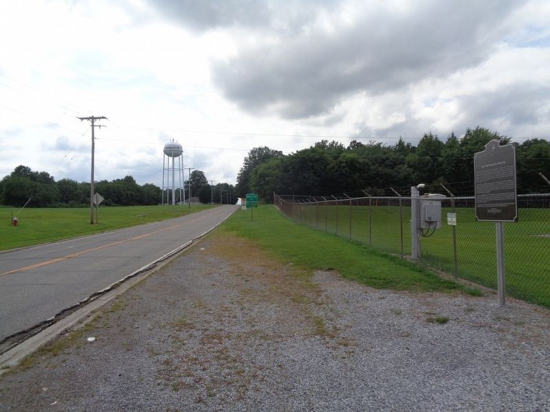
Looking west into town
Credits. This page was last revised on June 6, 2026. It was originally submitted on August 12, 2020, by Jason Voigt of Glen Carbon, Illinois. This page has been viewed 1,051 times since then and 155 times this year. Photos: 1, 2, 3. submitted on August 12, 2020, by Jason Voigt of Glen Carbon, Illinois.
