Cedar Hill in Dallas County, Texas — The American South (West South Central)
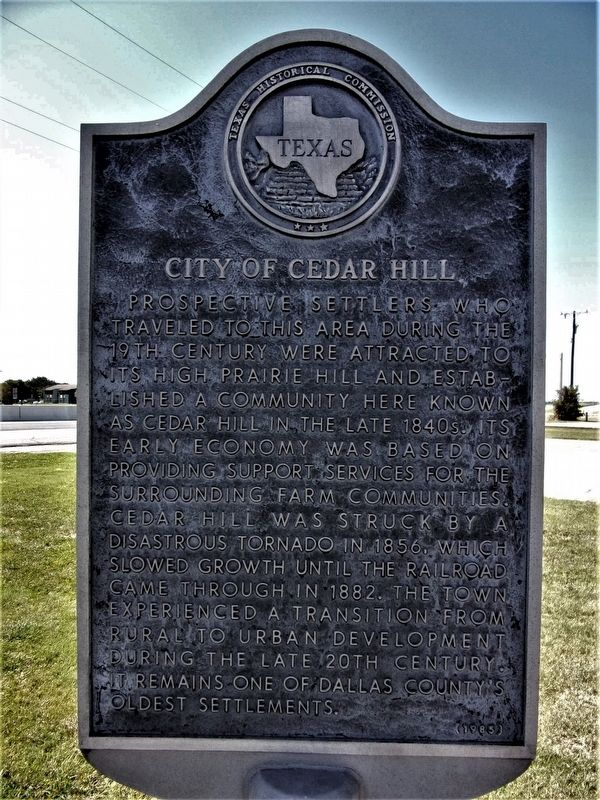
City of Cedar Hill
Prospective settlers who traveled to this area during the 19th century were attracted to its high prairie hill and established a community here known as Cedar Hill in the late 1840s. Its early economy was based on providing support services for the surrounding farm communities. Cedar Hill was struck by a disastrous tornado in 1856, which slowed growth until the railroad came through in 1882. The town experienced a transition from rural to urban development during the late 20th century. It remains one of Dallas County's oldest settlements.
Erected 1985 by Texas Historical Commission. (Marker Number 6642.)
Topics. This historical marker is listed in these topic lists: Disasters • Settlements & Settlers.
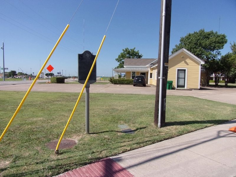
Location. 32° 35.389′ N, 96° 56.846′ W. Marker is in Cedar Hill, Texas, in Dallas County. Marker is at the intersection of Highway US 67 and West Beltline Road, on the right when traveling east on Highway US 67. Touch for map. Marker is at or near this postal address: 101 US 67, Cedar Hill TX 75104, United States of America. Touch for directions.
Other nearby markers. At least 8 other markers are within 5 miles of this marker, measured as the crow flies. Electromagnetic Wave Contraption (approx. half a mile away); Dr. R.A. Roberts House (approx. 0.6 miles away); First United Methodist Church of Cedar Hill (approx. 0.6 miles away); Little Bethel Cemetery (approx. 2.8 miles away); Trees Cemetery (approx. 3.1 miles away); Penn Springs (approx. 3.3 miles away); Pleasant Valley Cemetery (approx. 3.9 miles away); First United Methodist Church of Duncanville (approx. 4.6 miles away). Touch for a list and map of all markers in Cedar Hill.
Credits. This page was last revised on August 14, 2020. It was originally submitted on August 13, 2020, by Kayla Harper of Dallas, Texas. This page has been viewed 285 times since then and 36 times this year. Photos: 1, 2. submitted on August 13, 2020, by Kayla Harper of Dallas, Texas. • J. Makali Bruton was the editor who published this page.

