Downtown in Campbell in Santa Clara County, California — The American West (Pacific Coastal)
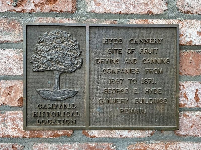
Hyde Cannery Site
Campbell Historical Location
Site of fruit
drying and canning
companies from
1887 to 1971.
George E. Hyde
Cannery buildings
remain
Topics. This historical marker is listed in this topic list: Industry & Commerce. A significant historical year for this entry is 1887.
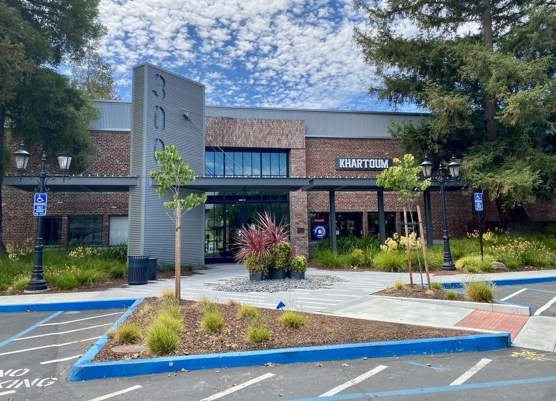
Location. 37° 17.151′ N, 121° 56.62′ W. Marker is in Campbell, California, in Santa Clara County. It is in Downtown. Marker is on Orchard City Drive west of Railway Avenue, on the right when traveling east. Touch for map. Marker is at or near this postal address: 200 Orchard City Drive, Campbell CA 95008, United States of America. Touch for directions.
Other nearby markers. At least 8 other markers are within walking distance of this marker. Richard Gordon "Rick" Davis (within shouting distance of this marker); Campbell Farmer's Union (within shouting distance of this marker); Campbell Water Company Towers (within shouting distance of this marker); Campbell Water Company (about 300 feet away, measured in a direct line); Bank of Campbell (about 400 feet away); Growers National Bank (about 500 feet away); Bank of Campbell (Farley Building) (about 500 feet away); Courtyard (about 500 feet away). Touch for a list and map of all markers in Campbell.
Also see . . . George E. Hyde & Company (Vasonabranch.com). (Submitted on August 15, 2020.)
Credits. This page was last revised on February 7, 2023. It was originally submitted on August 15, 2020, by Andrew Ruppenstein of Lamorinda, California. This page has been viewed 183 times since then and 29 times this year. Photos: 1, 2. submitted on August 15, 2020, by Andrew Ruppenstein of Lamorinda, California.

