Fort Wadsworth on Staten Island in Richmond County, New York — The American Northeast (Mid-Atlantic)
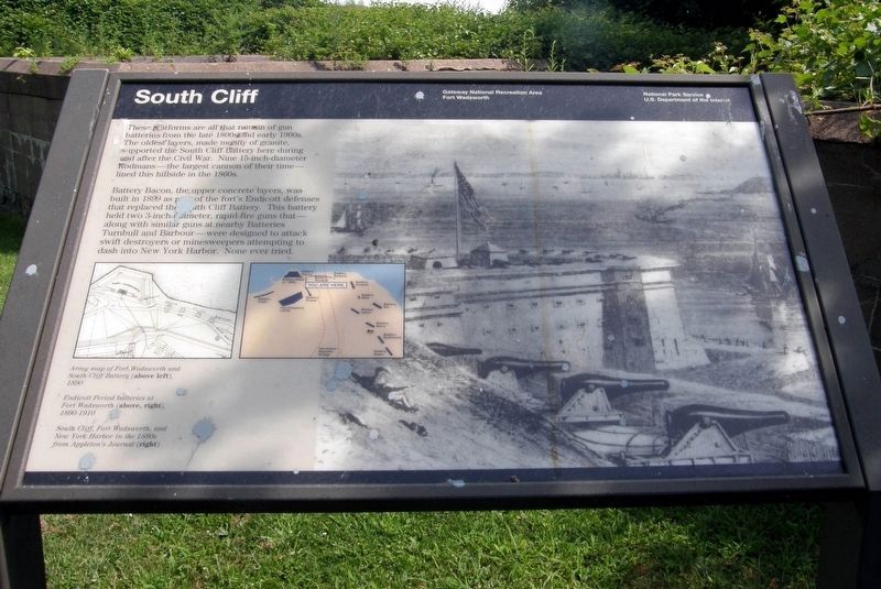
South Cliff
Gateway National Recreation Area, Fort Wadsworth
— National Park Service, U.S. Department of the Interior —
Inscription.
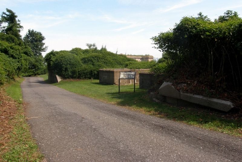
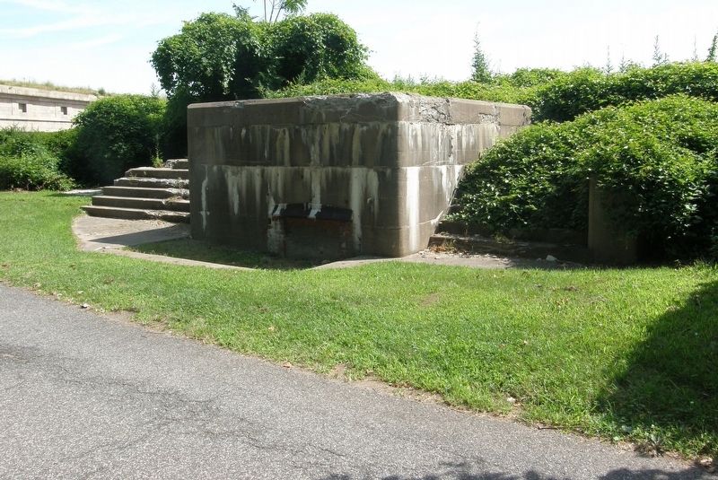
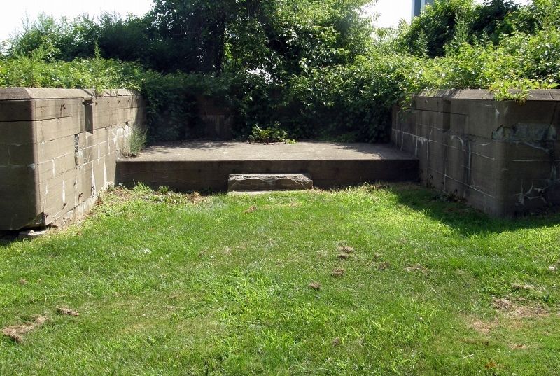
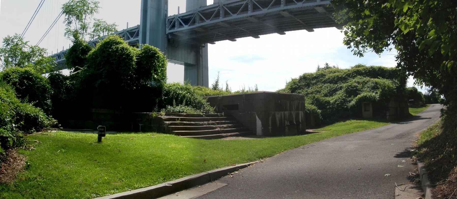
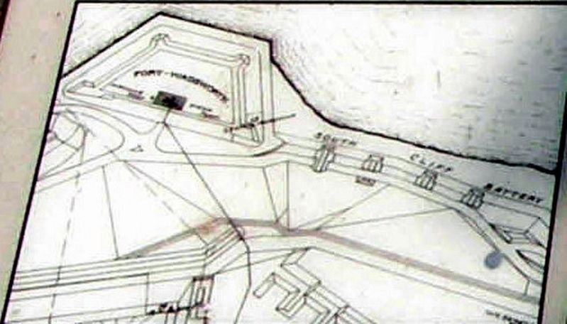
These platforms are all that remain of gun batteries from the late 1800s and early 1900s. The oldest layer, made mostly of granite, supported the South Cliff battery here during and after the Civil War. Nine 15-inch-diameter Rodmans – the largest cannon of their time – lined this hillside in the 1860s.
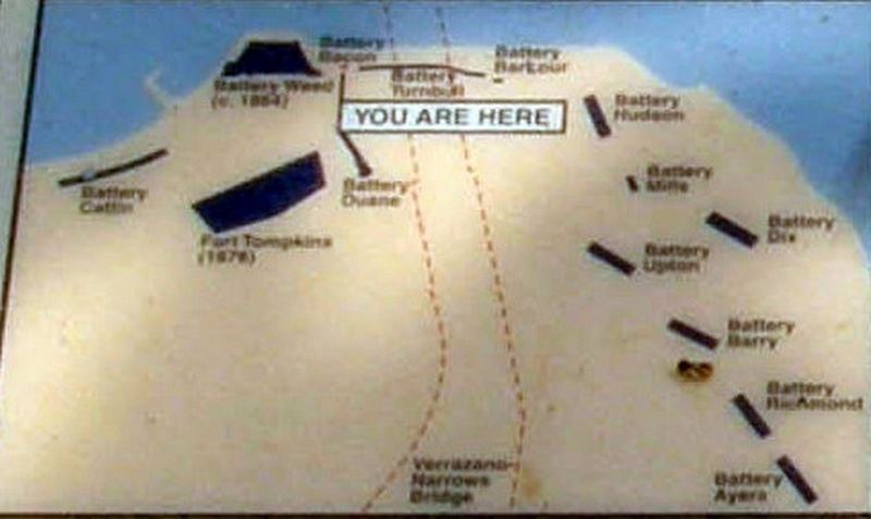
Battery Bacon, the upper concrete layers, was built in 1899 as part of the fort’s Endicott defenses that replaced the South Cliff Battery. This battery held two 3-inch diameter, rapid-fire guns that – along with similar guns at nearby Batteries Turnbull and Barbour – were designed to attack swift destroyers or minesweepers attempting to dash into New York Harbor. None ever tried.
Erected by National Park Service, U.S. Department of the Interior.
Topics. This historical marker is listed in this topic list: Forts and Castles. A significant historical year for this entry is 1899.
Location. 40° 36.259′ N, 74° 3.251′ W. Marker is on Staten Island, New York, in Richmond County. It is in Fort Wadsworth. Touch for map. Marker is at or near this postal address: Fort Wadsworth, Gateway National Park, Staten Island NY 10305, United States of America. Touch for directions.
Other nearby markers. At least 8 other markers are within walking distance of this marker. Verrazano – Narrows Bridge (about 300 feet away, measured in a direct line); Battery Weed (about 300 feet away); Fort Tompkins (about 400 feet away); Defending New York Harbor (about 400 feet away); a different marker also named Battery Weed (about 400 feet away); Battery Duane (about 400 feet away); Fort Wadsworth (about 500 feet away); Torpedo Building (about 500 feet away). Touch for a list and map of all markers in Staten Island.
Also see . . . The Endicott Era Defenses NPS entry on Fort Wadsworth and Fort Hancock. NPS entry. (Submitted on August 16, 2020, by Larry Gertner of New York, New York.)
Credits. This page was last revised on January 31, 2023. It was originally submitted on August 16, 2020, by Larry Gertner of New York, New York. This page has been viewed 187 times since then and 27 times this year. Photos: 1, 2, 3, 4, 5, 6, 7. submitted on August 16, 2020, by Larry Gertner of New York, New York.
