Rochester Hills in Oakland County, Michigan — The American Midwest (Great Lakes)
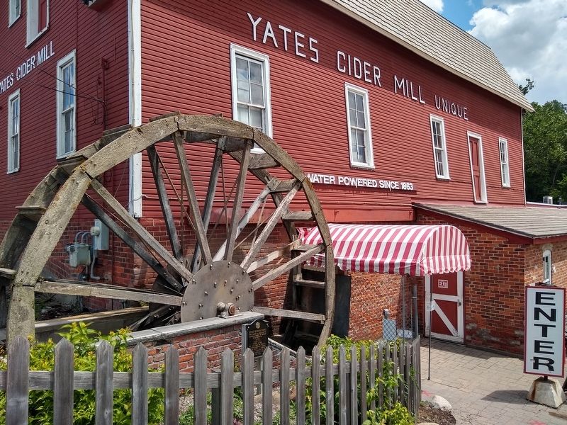
Yates Cider Mill
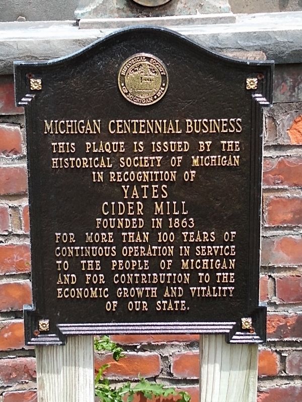
Michigan Centennial Business
Historical Society of Michigan
in recognition of
Yates
Cider Mill
founded in 1863
for more than 100 years of
continuous operation in service
to the people of Michigan
and for contribution to the
economic growth and vitality
of our state.
Erected by Historical Society of Michigan.
Topics and series. This historical marker is listed in this topic list: Industry & Commerce. In addition, it is included in the Michigan - Historical Society of Michigan series list. A significant historical year for this entry is 1863.
Location. 42° 40.382′ N, 83° 5.692′ W. Marker is in Rochester Hills, Michigan, in Oakland County. Marker is on East Avon Road west of 23 Mile Road, on the right when traveling east. Touch for map. Marker is at or near this postal address: 1990 East Avon Road, Rochester MI 48307, United States of America. Touch for directions.
Other nearby markers. At least 8 other markers are within 2 miles of this marker, measured as the crow flies. A different marker also named Yates Cider Mill (within shouting distance of this marker); Clinton-Kalamazoo Canal (about 400 feet away, measured in a direct line); Rochester Paper Mill (approx. 1.7 miles away); Western Knitting Mills Dam and Michigan Central Railroad Bridge (approx. 1.8 miles away); Stony Creek Cemetery (approx. 1.8 miles away); 1927 Van Hoosen Calf Barn/1927 Van Hoosen Bull Barn (approx. 1.9 miles away); 1927 Van Hoosen Dairy Barn (approx. 1.9 miles away); Stoney Creek School (approx. 1.9 miles away). Touch for a list and map of all markers in Rochester Hills.
Credits. This page was last revised on August 18, 2020. It was originally submitted on August 18, 2020, by Joel Seewald of Madison Heights, Michigan. This page has been viewed 156 times since then and 9 times this year. Photos: 1, 2. submitted on August 18, 2020, by Joel Seewald of Madison Heights, Michigan.

