Molson in Okanogan County, Washington — The American West (Northwest)
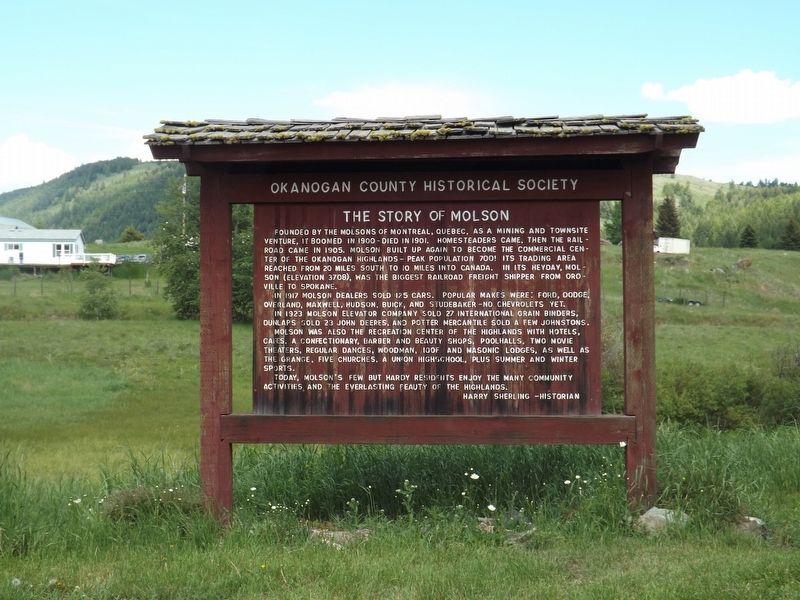
The Story of Molson
Founded by the Molsons of Montreal, Quebec, as a mining and townsite venture, it boomed in 1900 - died in 1901. Homesteaders came, then the railroad came in 1905. Molson built up again to become the commercial center of the Okanogan Highlands - peak population 700! Its trading area reached from 20 miles south to 10 miles into Canada. In its heyday, Molson (elevation 3708), was the biggest railroad freight shipper from Oroville to Spokane.
In 1917 Molson dealers sold 125 cars. Popular makes were: Ford, Dodge, Overland, Maxwell, Hudson, Buick, and Studebaker - no Chevrolets yet.
In 1923 Molson Elevator Company sold 27 International Grain Binders, Dunlaps sold 23 John Deeres, and Potter Mercantile sold a few Johnstons.
Molson was also the recreation center of the highlands with hotels, cafes, a confectionary, barber and beauty shops, poolhalls, two movie theaters, regular dances, Woodman, IOOF and Masonic Lodges, as well as the Grange, five churches, a union highschool, plus summer and winter sports.
Today, Molson’s few but hardy residents enjoy the many community activities and the everlasting beauty of the highlands.
Harry Sherling - Historian
Erected by Okanogan County Historical Society.
Topics. This historical marker is listed in this topic list: Settlements & Settlers. A significant historical year for this entry is 1900.
Location. 48° 58.747′ N, 119° 12.054′ W. Marker is in Molson, Washington, in Okanogan County. Marker is on Molson Road (County Route 4777), on the right when traveling north. Touch for map. Marker is in this post office area: Oroville WA 98844, United States of America. Touch for directions.
Other nearby markers. At least 4 other markers are within 16 kilometers of this marker, measured as the crow flies. Old Molson (approx. 0.2 miles away); Sidley B.C. 1895-1912 (approx. 3 miles away); Circle City (approx. 5.3 miles away); Southern Crossroads (approx. 9.3 miles away in Canada).
Credits. This page was last revised on August 20, 2020. It was originally submitted on August 18, 2020, by Doreen Thomson of Calgary, Alberta Canada. This page has been viewed 192 times since then and 25 times this year. Photo 1. submitted on August 18, 2020, by Doreen Thomson of Calgary, Alberta Canada. • J. Makali Bruton was the editor who published this page.
