Near Molson in Okanogan County, Washington — The American West (Northwest)
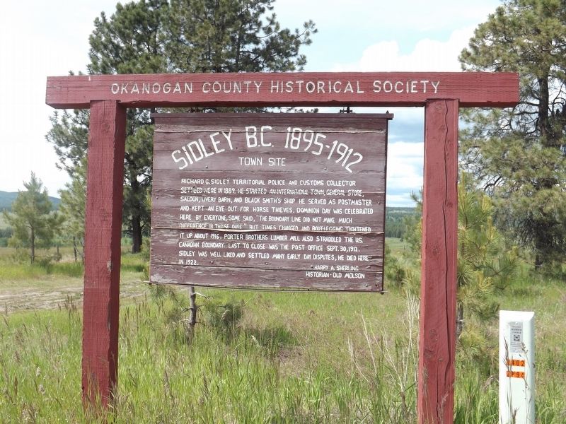
Sidley B.C. 1895-1912
Town Site
Richard G. Sidley Territorial Police and Customs Collector settled here in 1889. He started an international town, general store, saloon, livery barn, and black smith’s shop. He served as postmaster and kept an eye out for horse thieves. Dominion Day was celebrated here by everyone, some said “The boundary line did not make much difference in those days”. But times changed and bootlegging tightened it up about 1916. Porter Brothers Lumber Mill also straddled the US Canadian boundary. Last to close was the post office Sept 30, 1912. Sidley was well liked and settled many early day disputes. He died here in 1922.
Harry A. Sherling
Historian - Old Molson
Erected by Okanogan County Historical Society.
Topics. This historical marker is listed in this topic list: Settlements & Settlers. A significant historical year for this entry is 1889.
Location. 48° 59.988′ N, 119° 15.466′ W. Marker is near Molson, Washington, in Okanogan County. Marker is on 9 Mile Road (County Route 4777), on the right when traveling west. Touch for map. Marker is in this post office area: Oroville WA 98844, United States of America. Touch for directions.
Other nearby markers. At least 4 other markers are within 11 kilometers of this marker, measured as the crow flies. The Story of Molson (approx. 3 miles away); Old Molson (approx. 3.1 miles away); Circle City (approx. 4.6 miles away); Southern Crossroads (approx. 6˝ miles away in Canada).
More about this marker. The 9 Mile Road is on the US side of the Canada/US Border. Sidley straddled the border between British Columbia and Washington State.
Credits. This page was last revised on August 21, 2020. It was originally submitted on August 18, 2020, by Doreen Thomson of Calgary, Alberta Canada. This page has been viewed 386 times since then and 31 times this year. Photo 1. submitted on August 18, 2020, by Doreen Thomson of Calgary, Alberta Canada. • J. Makali Bruton was the editor who published this page.
