Prince's Bay on Staten Island in Richmond County, New York — The American Northeast (Mid-Atlantic)
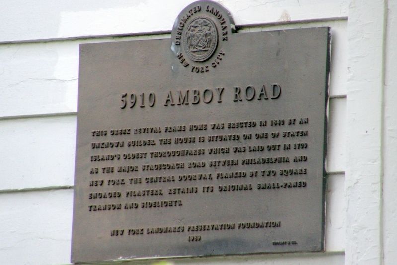
5910 Amboy Road
New York City Designated Landmark
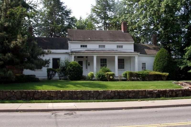
This Greek Revival frame house was erected in 1840 by an unknown builder. The house is situated on one of Staten Island’s oldest thoroughfares which was laid out in 1709 as the major stagecoach road between Philadelphia and New York. The central doorway flanked by two square engaged pilasters, retains its original small-paned transom and sidelights.
New York City Landmarks Preservation Foundation
1989
Erected 1989 by New York City Landmarks Preservation Foundation.
Topics. This historical marker is listed in this topic list: Architecture. A significant historical year for this entry is 1840.
Location. 40° 31.538′ N, 74° 12.26′ W. Marker is on Staten Island, New York, in Richmond County. It is in Prince's Bay. Marker is on Amboy Road east of Bayview Avenue, on the right when traveling east. Touch for map. Marker is at or near this postal address: 5910 Amboy Rd, Staten Island NY 10309, United States of America. Touch for directions.
Other nearby markers. At least 8 other markers are within 2 miles of this marker, measured as the crow flies. Pleasant Plains Memorial (approx. 0.6 miles away); Our Veterans Memorial (approx. ¾ mile away); Seguine Mansion (approx. 0.8 miles away); World War II: Battle of the Bulge (approx. one mile away); Battle of the Bulge Memorial (approx. one mile away); Bishop Francis Asbury (approx. 1.2 miles away); Woodrow Methodist Church (approx. 1.2 miles away); In Loving Memory of Sister Mary Ann (approx. 1.3 miles away). Touch for a list and map of all markers in Staten Island.
Regarding 5910 Amboy Road. The building is listed in the "AIA (American Institute of Architects) Guide to New York City, Fifth Edition".
Also see . . . 5910 Amboy Road. Wikipedia entry. (Submitted on August 22, 2020, by Larry Gertner of New York, New York.)
Credits. This page was last revised on January 31, 2023. It was originally submitted on August 22, 2020, by Larry Gertner of New York, New York. This page has been viewed 377 times since then and 33 times this year. Photos: 1, 2. submitted on August 22, 2020, by Larry Gertner of New York, New York.

