Historic District in St. Augustine in St. Johns County, Florida — The American South (South Atlantic)
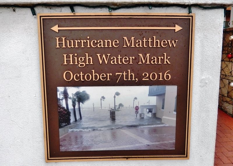
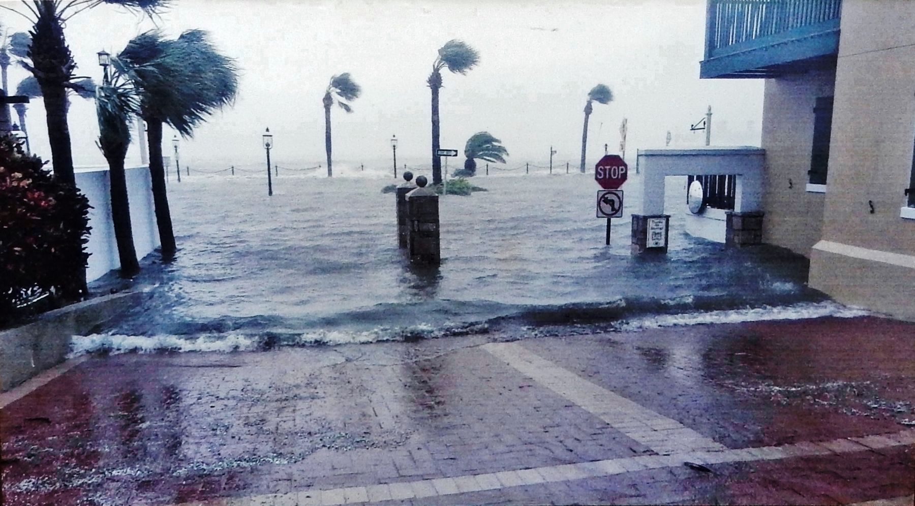
Hurricane Matthew High Water Mark
October 7th, 2016
Topics. This historical marker is listed in this topic list: Disasters. A significant historical date for this entry is October 7, 2016.
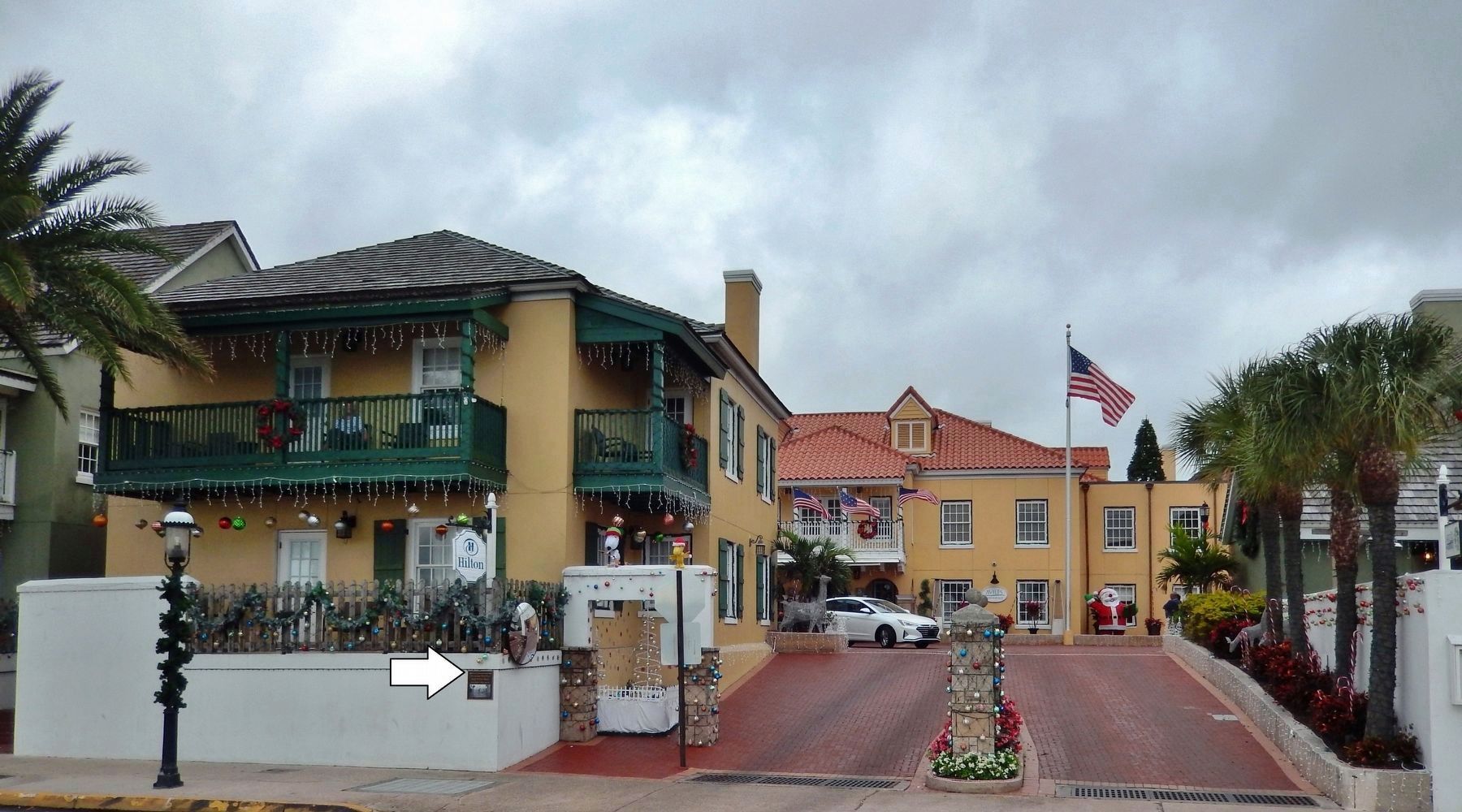
Location. 29° 53.662′ N, 81° 18.674′ W. Marker is in St. Augustine, Florida, in St. Johns County. It is in the Historic District. Marker is on Avenida Menendez (Florida Route A1A) south of Hypolita Street, on the right when traveling south. Marker is mounted on the wall beside the sidewalk. Touch for map. Marker is at or near this postal address: 32 Avenida Menendez, Saint Augustine FL 32084, United States of America. Touch for directions.
Other nearby markers. At least 8 other markers are within walking distance of this marker. The Monson Motel (a few steps from this marker); Sixteen Jewish Clergy (a few steps from this marker); Monson Motel Steps (a few steps from this marker); Remnant of Rodriguez Arsian House (within shouting distance of this marker); Espinosa-Sanchez House (within shouting distance of this marker); Frederick Douglass (about 500 feet away, measured in a direct line); Sanchez-Burt House (about 500 feet away); St. Augustine First World War Memorial (about 500 feet away). Touch for a list and map of all markers in St. Augustine.
Also see . . .
1. Hurricane Matthew Damaged Many of St. Augustine's Historic Buildings. Water flooded all seven of the city's federally designated historic districts during the October storm, and about half of the 2,000 properties in those areas were damaged, according to experts at the University of Florida. Despite a $6.7 million seawall project that was completed in 2014, homes and businesses along the city's waterfront were overwhelmed. (Submitted on August 22, 2020, by Cosmos Mariner of Cape Canaveral, Florida.)
2. Major Hurricane Matthew. Hurricane Matthew, the fourteenth named tropical cyclone of the 2016 season, moved along the coast of northeast Florida and southeast Georgia during the day and night of October 7th and 8th, 2016. (Submitted on August 22, 2020, by Cosmos Mariner of Cape Canaveral, Florida.)
Credits. This page was last revised on August 22, 2020. It was originally submitted on August 22, 2020, by Cosmos Mariner of Cape Canaveral, Florida. This page has been viewed 504 times since then and 70 times this year. Photos: 1, 2, 3. submitted on August 22, 2020, by Cosmos Mariner of Cape Canaveral, Florida.


