Rivesville in Marion County, West Virginia — The American South (Appalachia)
Marion County / Monongalia County
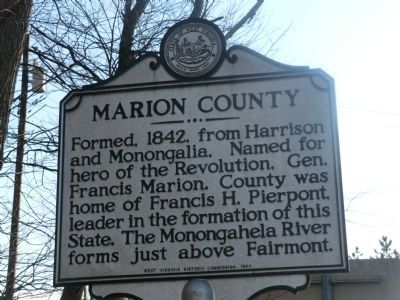
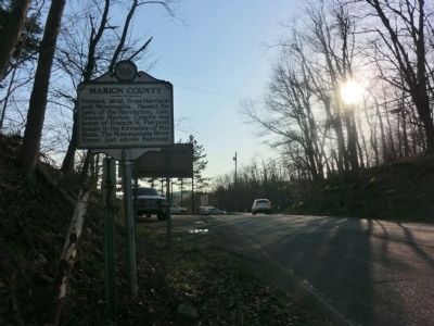
Marion County. Formed 1842, from Harrison and Monongalia. Named for hero of Revolution, Gen. Francis Marion. County was home of Francis H. Pierpont, leader in the formation of this State. The Monongahela River forms just above Fairmont.
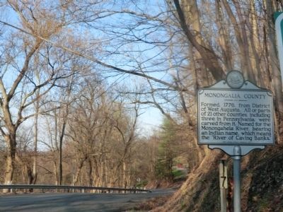
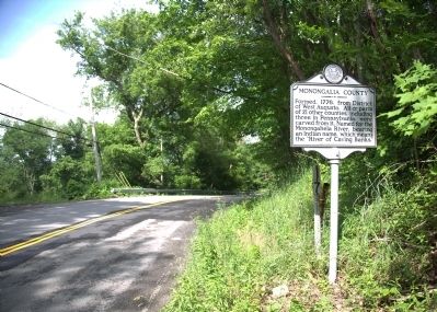
Monongalia County. Formed, 1776, from District of West Augusta. All or parts of 21 other counties, including three in Pennsylvania, were carved from it. Named for the Monongahela River, bearing an Indian name, which means the "River of Caving Banks."
Erected 1984 by West Virginia Historic Commission.
Topics and series. This historical marker is listed in this topic list: Political Subdivisions. In addition, it is included in the West Virginia Archives and History series list. A significant historical year for this entry is 1842.
Location. 39° 34.218′ N, 80° 6.318′ W. Marker is in Rivesville, West Virginia, in Marion County. Marker is on Fairmont Road (U.S. 19) 0.2 miles south of Massie Hollow Road (County Road 19/1). Touch for map. Marker is at or near this postal address: 5013 Fairmont Rd, Rivesville WV 26588, United States of America. Touch for directions.
Other nearby markers. At least 8 other markers are within 4 miles of this marker, measured as the crow flies. Everettville Mine Disaster (approx. 0.7 miles away); In Memory of James Arnett (approx. one mile away); Federal Mine No. 3 (approx. 2.2 miles away); Veterans Memorial (approx. 2.9 miles away); To the Founders of the West Virginia State Medical Association Organized at Fairmont (approx. 2.9 miles away); David Morgan (approx. 3 miles away); Fort Pawpaw (approx. 3 miles away); a different marker also named Veterans Memorial (approx. 3.4 miles away). Touch for a list and map of all markers in Rivesville.
Credits. This page was last revised on May 20, 2021. It was originally submitted on May 3, 2014, by Don Morfe of Baltimore, Maryland. This page has been viewed 461 times since then and 17 times this year. Last updated on May 19, 2021, by Bradley Owen of Morgantown, West Virginia. Photos: 1, 2, 3, 4. submitted on May 3, 2014, by Don Morfe of Baltimore, Maryland. 5. submitted on June 21, 2014, by J. J. Prats of Powell, Ohio. • Devry Becker Jones was the editor who published this page.


