Jilotepec de Enríquez in Jilotepec de Abasolo, Mexico State, Mexico — The Central Highlands (North America)
Municipality of Jilotepec
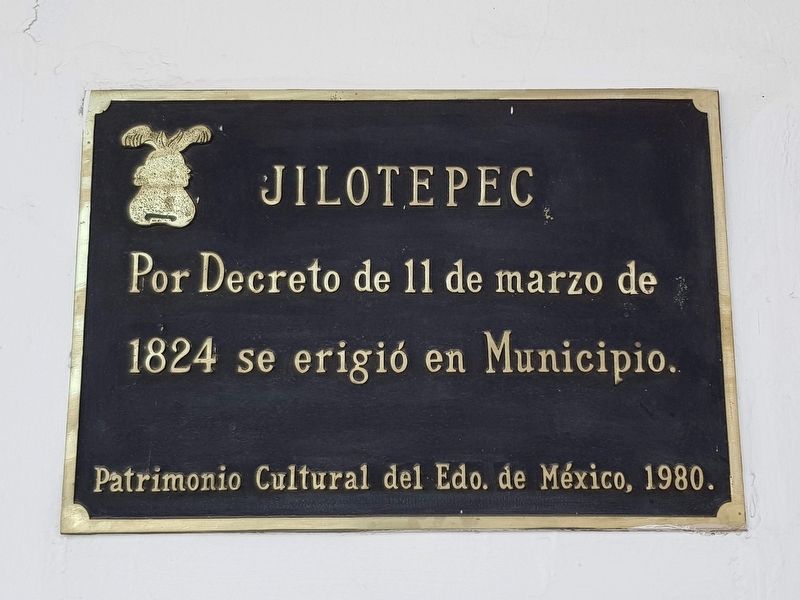
Por Decreto de 11 de marzo de 1824 se erigió en Municipio.
Patrimonio Cultural del Edo. de México, 1980.
Jilotepec
By the Decree of March 11, 1824 Jilotepec was elevated to the status of municipality.
Cultural Heritage of the State of Mexico, 1980.
Erected 1980.
Topics. This historical marker is listed in this topic list: Political Subdivisions. A significant historical date for this entry is March 11, 1824.
Location. 19° 57.17′ N, 99° 31.946′ W. Marker is in Jilotepec de Enríquez, Estado de Mexico (Mexico State), in Jilotepec de Abasolo. Marker is at the intersection of Leona Vicario and Gustavo Baz, on the left when traveling south on Leona Vicario. Touch for map. Marker is in this post office area: Jilotepec de Enríquez MEX 54240, Mexico. Touch for directions.
Other nearby markers. At least 8 other markers are within walking distance of this marker. Famous Sons of Jilotepec (here, next to this marker); Jilotepec (a few steps from this marker); Benito Juárez Memorial (within shouting distance of this marker); Andrés Molina Enríquez (within shouting distance of this marker); Convent and Church of San Pedro and San Pablo (within shouting distance of this marker); Camino Real de Tierra Adentro (about 120 meters away, measured in a direct line); Franciscan Chapel and Monastery (about 150 meters away); The Doendó Cross (about 210 meters away). Touch for a list and map of all markers in Jilotepec de Enríquez.

Photographed By J. Makali Bruton, August 23, 2020
2. Origin of the name of Jilotepec Marker
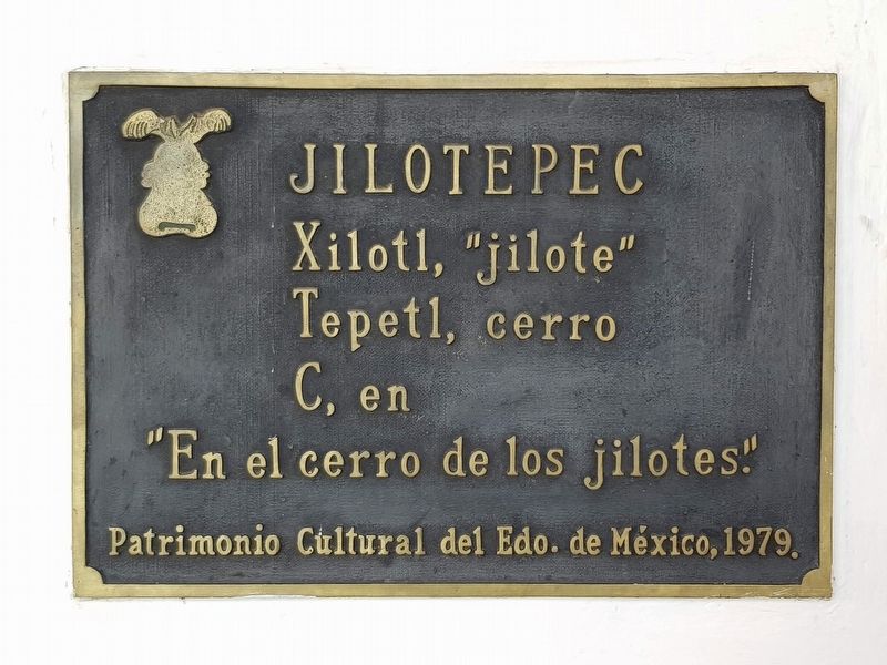
This additional marker from 1979 describes the origin of the name of Jilotepec: Fresh Corn Hill.
Jilotepec
Xilotl, "jilote"
Tepetl, cerro
C, en
"En el cerro de los jilotes."
Patrimonio Cultural del Edo. de México, 1979.
Xilotl, "jilote"
Tepetl, cerro
C, en
"En el cerro de los jilotes."
Patrimonio Cultural del Edo. de México, 1979.
Credits. This page was last revised on October 9, 2020. It was originally submitted on August 27, 2020, by J. Makali Bruton of Accra, Ghana. This page has been viewed 72 times since then and 9 times this year. Photos: 1, 2, 3, 4. submitted on August 27, 2020, by J. Makali Bruton of Accra, Ghana.


