Old West Side in Ann Arbor in Washtenaw County, Michigan — The American Midwest (Great Lakes)
Ann Arbor Streetcars
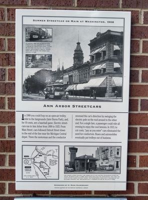
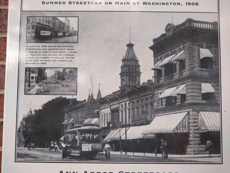
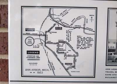
In 1908 you could hop on an open-air trolley, ride to the fairgrounds (later Burns Park), and, for 10 cents, see a baseball game. Electric streetcars ran in Ann Arbor from 1890 to 1925. From Main Street, cars followed Detroit Street down to the end of the line near the Michigan Central depot. There the motorman and the conductor reversed the car's direction by swinging the electric pole on the roof around to the other end. For a single fare, a passenger could ride all evening to enjoy the cool breezes. In 1913, to cut costs, "pay as you enter" cars eliminated the need for conductors. Buses and automobiles eventually put trolleys out of business.
Sponsored by H. Mark Hildenbrandt
Photos courtesy of the Bentley Historical Library
Erected by Ann Arbor Historical Foundation.
Topics. This historical marker is listed in this topic list: Railroads & Streetcars. A significant historical year for this entry is 1908.
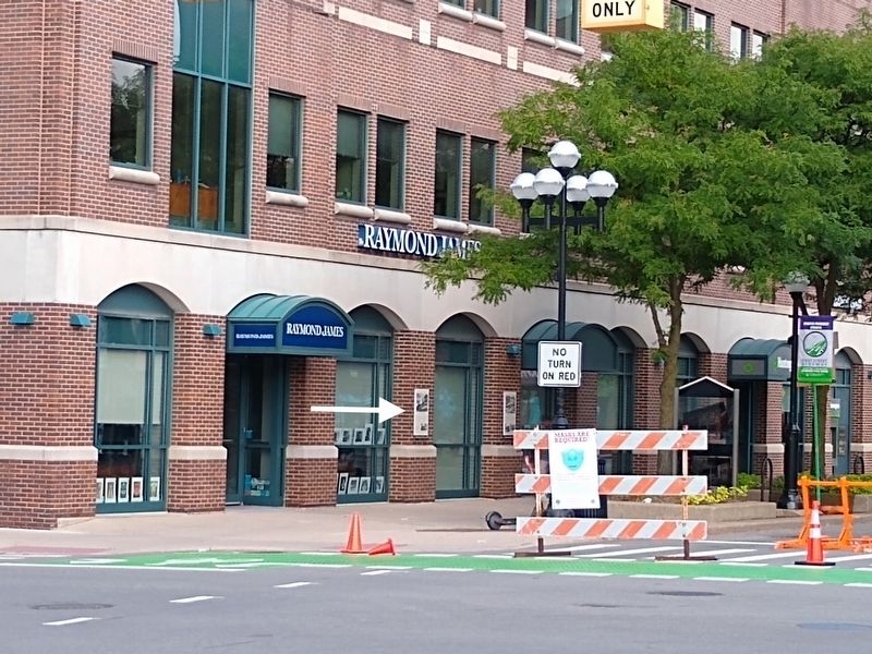
Location. 42° 16.689′ N, 83° 44.931′ W. Marker is in Ann Arbor, Michigan, in Washtenaw County. It is in the Old West Side. Marker is at the intersection of South Main Street and William Street, on the left when traveling north on South Main Street. Touch for map. Marker is at or near this postal address: 350 South Main Street, Ann Arbor MI 48104, United States of America. Touch for directions.
Other nearby markers. At least 8 other markers are within walking distance of this marker. Everyone Loves a Parade (here, next to this marker); Power and Transportation (a few steps from this marker); The Main Street Shopping Experience (about 500 feet away, measured in a direct line); Main Street Shopping Expands (about 500 feet away); Downtown Movie Theaters (about 600 feet away); Changing Retail Patterns (about 600 feet away); Allen Creek Valley Shapes the Town (about 600 feet away); Bethlehem United Church of Christ (about 600 feet away). Touch for a list and map of all markers in Ann Arbor.
Bentley Historical Library
3. Ann Arbor Streetcars Marker — top inset images
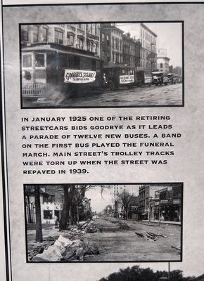
In January 1925 one of the returning streetcars bids goodbye as it leads a parade of twelve new buses. A band on the first bus played the funeral march. Main Street's trolley tracks were torn up when the street was repaved in 1939.
Bentley Historical Library
5. Ann Arbor Streetcars Marker — bottom right image
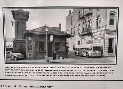
Ann Arbor's street railway line connected to the electric interurban system for travel between cities. In 1929, when buses replaced the interurbans, they used the same station (above) on West Huron. The transformer tower was a reminder of the building's original use. Greyhound built a modern station on the site in 1940.
Credits. This page was last revised on February 12, 2023. It was originally submitted on August 31, 2020, by Joel Seewald of Madison Heights, Michigan. This page has been viewed 635 times since then and 26 times this year. Photos: 1, 2, 3, 4, 5, 6. submitted on August 31, 2020, by Joel Seewald of Madison Heights, Michigan.
