Georgetown in Kent County, Maryland — The American Northeast (Mid-Atlantic)
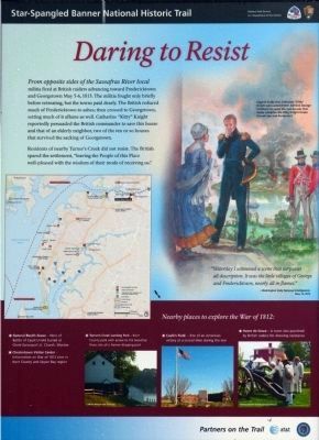
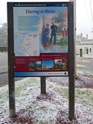
Daring to Resist
Star-Spangled Banner Historic Trail
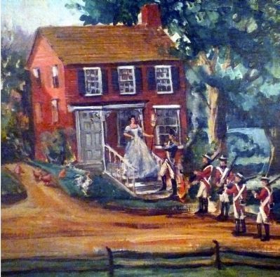
Residents of nearby Turner's Creek did not resist. The British spared the settlement, "leaving People of this Place well-pleased with the wisdom of their mod of receiving us."
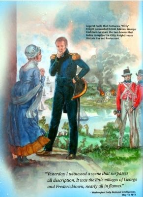
"Yesterday I witnessed a scene that surpasses all description. It was the little villages of George and Fredericktown, nearly all in flames" -- Washington Daily National Intelligencer, May 14, 1813
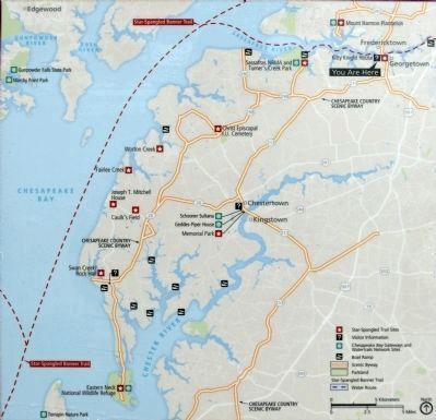
Nearby places to explore the War of 1812
* General Reed's Grave - Hero of Battle of Caulk's Field buried at Christ Episcopal I. U. Church, Worton
* Chestertown Visitor Center - Information on War of 1812 sites in Kent County and Upper Bay region
* Turner's Creek Landing Park - Kent County park with access to the Sassafras River, site of a former shipping port
* Caulk's Field - Site of an American victory at a crucial time during the war
* Havre de Grace - A town also punished by British raiders for showing resistance
[bottom captions]
Lathim House and Granary -- image / Bernadette Van Pelt
Reenactment Event at Lock House -- City of Havre de Grace
Partners on the Trail
Erected 2012 by National Park Service.
Topics and series. This historical marker is listed in this topic list: War of 1812. In addition, it is included in the Star Spangled Banner National Historic Trail series list. A significant historical year for this entry is 1813.
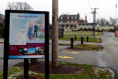
Location. 39° 21.709′ N, 75° 52.86′ W. Marker is in Georgetown, Maryland, in Kent County. Marker is at the intersection of Queen Street and Augustine Herman HIghway (Maryland Route 213), on the right when traveling north on Queen Street. Marker is along Queen Street, on the edge of the marina parking lot just north of the Kitty Knight House Inn at 14028 Augustine Herman Hwy., Georgetown, MD. Touch for map. Marker is in this post office area: Georgetown MD 21930, United States of America. Touch for directions.
Other nearby markers. At least 8 other markers are within 3 miles of this marker, measured as the crow flies. Georgetown, Maryland (within shouting distance of this marker); A Heavy Price (within shouting distance of this marker); Mistress Kitty Knight (about 400 feet away, measured in a direct line); Sassafras River (approx. ¼ mile away); Fort Duffy (approx. 0.4 miles away); Downs’ Cross Roads (approx. 1½ miles away); Greenfield (approx. 2 miles away); Founded on Friendship (approx. 3 miles away). Touch for a list and map of all markers in Georgetown.
Related markers. Click here for a list of markers that are related to this marker. These three markers deal with the British attack on Georgetown and Fredericktown in 1813.
Photographed By Allen C. Browne, December 29, 2012
4. Kitty Knight pleads with Admiral Cockburn
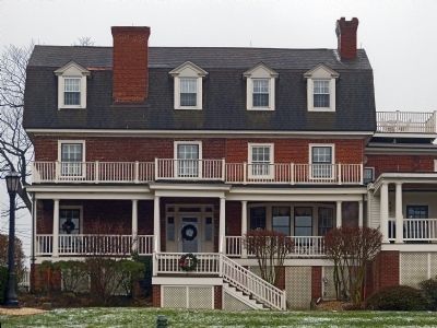
Legend holds that Catherine "Kitty" Knight persuaded British Admiral George Cockburn to spare the two houses that today comprise the Kitty Knight House Historic Inn and Restaurant. Illustration by Gerry Embleton
Credits. This page was last revised on September 5, 2020. It was originally submitted on January 1, 2013, by Allen C. Browne of Silver Spring, Maryland. This page has been viewed 734 times since then and 23 times this year. Last updated on September 4, 2020. Photos: 1, 2, 3, 4, 5, 6, 7. submitted on January 1, 2013, by Allen C. Browne of Silver Spring, Maryland. • Bill Pfingsten was the editor who published this page.
