Fontana Village in Graham County, North Carolina — The American South (South Atlantic)
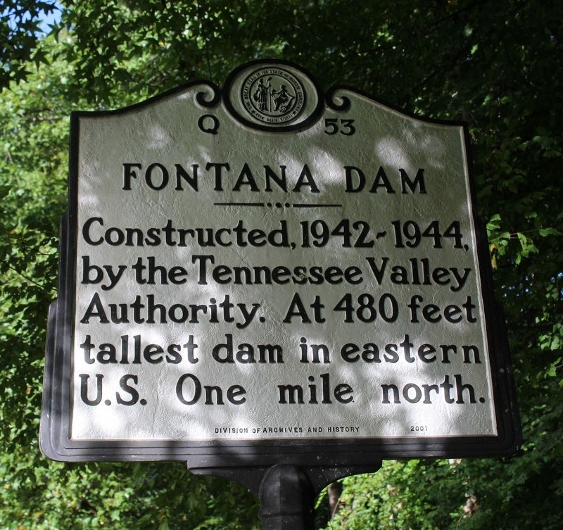
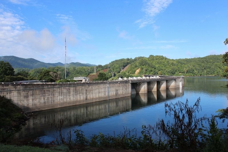
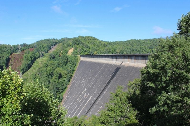
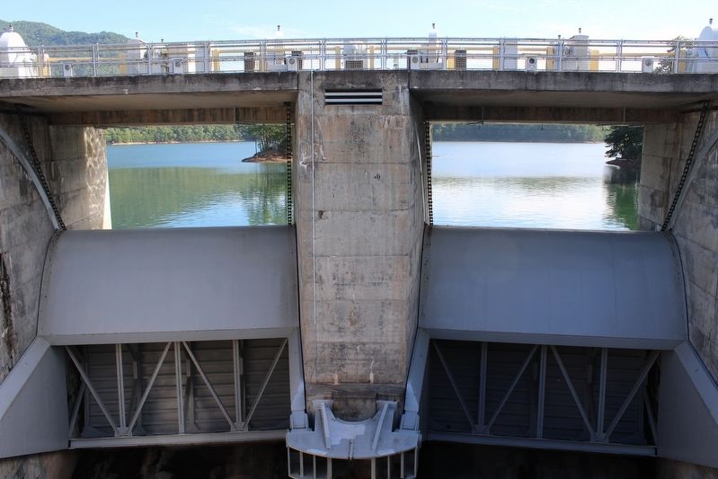
Fontana Dam
Erected 2001 by North Carolina Division of Archives and History. (Marker Number Q-53.)
Topics and series. This historical marker is listed in this topic list: Bridges & Viaducts. In addition, it is included in the North Carolina Division of Archives and History series list. A significant historical year for this entry is 1942.
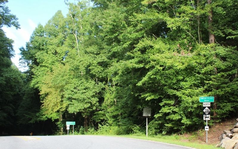
Location. 35° 26.485′ N, 83° 48.051′ W. Marker is in Fontana Village, North Carolina, in Graham County. Marker is at the intersection of Fontana Road (State Highway 28) and Fontana Dam Road (County Highway 1245), on the right when traveling west on Fontana Road. Touch for map. Marker is in this post office area: Fontana Dam NC 28733, United States of America. Touch for directions.
Other nearby markers. At least 8 other markers are within 6 miles of this marker, measured as the crow flies. Appalachian Trail (approx. 0.6 miles away); The TVA System of Multi-purpose Dams (approx. 0.6 miles away); Welcome to Fontana Dam (approx. 0.6 miles away); a different marker also named Appalachian Trail (approx. 0.7 miles away); Fontana Dam: (approx. 0.7 miles away); a different marker also named Fontana Dam (approx. ¾ mile away); Fontana's First Stewards: (approx. ¾ mile away); Shaping the Flow of the Cheoah River (approx. 5.3 miles away). Touch for a list and map of all markers in Fontana Village.
Also see . . . Fontana. Tennessee Valley Authority (Submitted on September 7, 2020, by Tom Bosse of Jefferson City, Tennessee.)
Credits. This page was last revised on June 29, 2021. It was originally submitted on September 7, 2020, by Tom Bosse of Jefferson City, Tennessee. This page has been viewed 126 times since then and 18 times this year. Photos: 1, 2, 3, 4, 5, 6. submitted on September 7, 2020, by Tom Bosse of Jefferson City, Tennessee. • Bernard Fisher was the editor who published this page.
