Andrews in Cherokee County, North Carolina — The American South (South Atlantic)
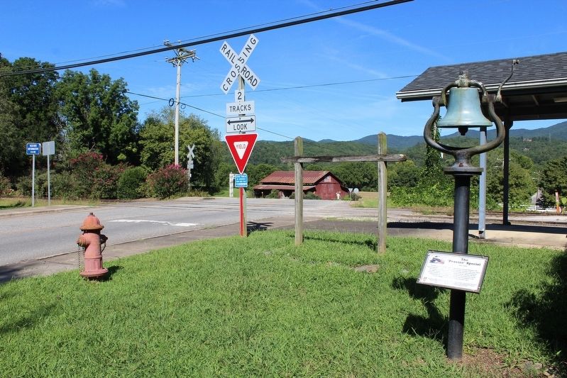
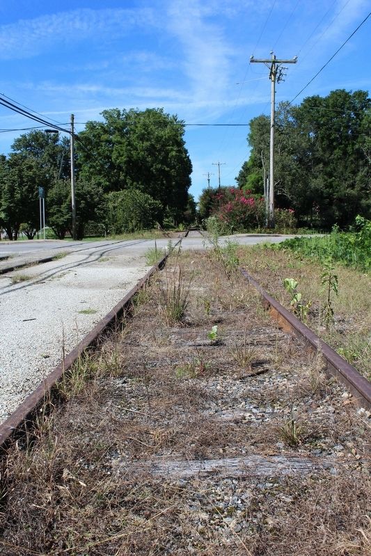
The "Peavine" Special
1921-1953
This was an Eagle Scout project designed by ___ Kylan Thompson from Andrews Boy Scout Troop 401 in December 2913. His great-great-grandfather, Jesse Mashburn Sr. was the engineer on the inaugural run of the "Peavine Special" in 1921.
Erected by Boy Scout Troop 401.
Topics. This historical marker is listed in this topic list: Railroads & Streetcars.
Location. 35° 12.122′ N, 83° 49.527′ W. Marker is in Andrews, North Carolina, in Cherokee County. Marker is at the intersection of Locust Street and 1st Street, on the right when traveling north on Locust Street. Touch for map. Marker is in this post office area: Andrews NC 28901, United States of America. Touch for directions.
Other nearby markers. At least 8 other markers are within 9 miles of this marker, measured as the crow flies. Harold H. Hall (within shouting distance of this marker); Valleytown Center (about 800 feet away, measured in a direct line); Fort Delaney (approx. 0.3 miles away); Resistance and Resurgence on Valley River (approx. 0.3 miles away); Konehete (approx. 0.3 miles away); The Old Army Road (approx. 0.3 miles away); Junaluska (approx. 8.2 miles away); Junaluska's Distingusihed Service (approx. 8.2 miles away). Touch for a list and map of all markers in Andrews.
Credits. This page was last revised on September 18, 2020. It was originally submitted on September 13, 2020, by Tom Bosse of Jefferson City, Tennessee. This page has been viewed 409 times since then and 34 times this year. Photos: 1, 2, 3. submitted on September 13, 2020, by Tom Bosse of Jefferson City, Tennessee. • Bernard Fisher was the editor who published this page.


