Near Bishop in Inyo County, California — The American West (Pacific Coastal)
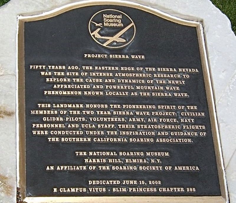
Project Sierra Wave
National Landmark of Soaring
Fifty years ago, the eastern edge of the Sierra Nevada was the site of intense atmospheric research to explore the cause and dynamics of the newly appreciated and powerful mountain wave phenomenon known locally as the Sierra Wave.
This Landmark honors the pioneering spirit of the members of the two-year Sierra Wave Project: Civilian glider pilots, volunteers, Army, Air Force, Navy personnel and UCLA staff. Their stratospheric flights were conducted under the inspiration and guidance of the Southern California Soaring Association.
Erected 2002 by The National Soaring Museum; and E Clampus Vitus Slim Princess Chapter 395.
Topics and series. This historical marker is listed in this topic list: Air & Space. In addition, it is included in the E Clampus Vitus series list.
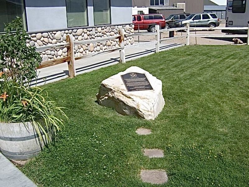
Location. 37° 22.265′ N, 118° 21.965′ W. Marker is near Bishop, California, in Inyo County. Marker is on Airport Road, 0.7 miles north of East Line Street. Located in front of the airport restaurant. Touch for map. Marker is at or near this postal address: 703 Airport Road, Bishop CA 93514, United States of America. Touch for directions.
Other nearby markers. At least 8 other markers are within 2 miles of this marker, measured as the crow flies. "Atlas Copco Mucker" (approx. 1.6 miles away); Slim Princess (approx. 1.6 miles away); Whiskey Creek History (approx. 1.6 miles away); The Little Kittie Inn (approx. 1.7 miles away); The Ernest Kinney Teamster Family Mural (approx. 1.7 miles away); History of "Dangerous Arrest" (approx. 1.8 miles away); The Old Inyo County Jailhouse (approx. 1.8 miles away); The Mule (approx. 1.8 miles away). Touch for a list and map of all markers in Bishop.
Regarding Project Sierra Wave. The Sierra Wave is a type of air current that forms as winds hit the Sierra Nevada and are forced to rise, causing water vapor to condense as it cools and forms lenticular clouds on the leeward side of the mountain range. They are used by glider pilots to gain altitude and extend their flights above the Owens Valley.
A popular Hang Gliding launch site is on the Eastern Sierra at Walt’s Point on Horseshoe Meadows Road. This is where, on June 19, 2020, a new world record was set for an out-and-back flight in a Hang Glider to a point 222 miles away.
Credits. This page was last revised on April 19, 2024. It was originally submitted on September 14, 2020, by Craig Baker of Sylmar, California. This page has been viewed 308 times since then and 45 times this year. Photos: 1, 2, 3. submitted on September 14, 2020, by Craig Baker of Sylmar, California. • Andrew Ruppenstein was the editor who published this page.


