Independence in Jackson County, Missouri — The American Midwest (Upper Plains)
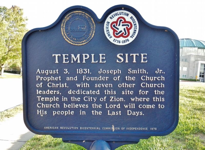
Temple Site
Erected 1976 by American Revolution Bicentennial Commission of Independence.
Topics and series. This historical marker is listed in this topic list: Churches & Religion. In addition, it is included in the The Spirit of ’76, America’s Bicentennial Celebration series list. A significant historical date for this entry is August 3, 1831.
Location. 39° 5.448′ N, 94° 25.649′ W. Marker is in Independence, Missouri, in Jackson County. Marker is on South River Boulevard south of West Lexington Avenue, on the right when traveling south. Marker is located beside the sidewalk on the east side of the Church of Christ Temple Lot grounds. Touch for map. Marker is at or near this postal address: 200 South River Boulevard, Independence MO 64050, United States of America. Touch for directions.
Other nearby markers. At least 8 other markers are within walking distance of this marker. Confederate Line (within shouting distance of this marker); Temple Lot (within shouting distance of this marker); The Stone Church (about 300 feet away, measured in a direct line); Flournoy Home (about 400 feet away); Flournoy House (about 400 feet away); F.M. Smith Study (about 500 feet away); Joseph T. Noland House (approx. ¼ mile away); Gingko Tree (approx. ¼ mile away). Touch for a list and map of all markers in Independence.
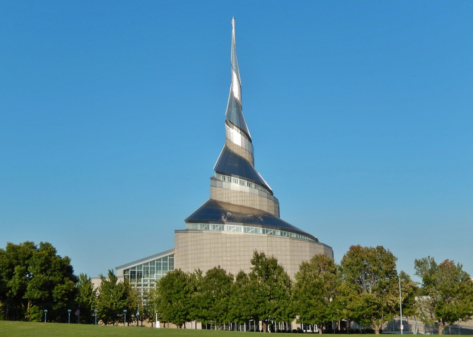
Also see . . . Temple Lot (Wikipedia). Although Smith had designated the Temple Lot site as the heart of his new City of Zion, the Latter Day Saints were expelled from Jackson County (late 1833) and later from Missouri (early 1839) before a temple could be constructed. The Temple Lot is currently owned by the small Church of Christ (Temple Lot), which acquired the land in 1867. The Community of Christ, the second-largest church within the modern Latter Day Saint movement, now owns the bulk of the original 63 acre property around the Temple Lot. (Submitted on September 18, 2020, by Cosmos Mariner of Cape Canaveral, Florida.)
Credits. This page was last revised on September 18, 2020. It was originally submitted on September 18, 2020, by Cosmos Mariner of Cape Canaveral, Florida. This page has been viewed 186 times since then and 18 times this year. Photos: 1, 2, 3. submitted on September 18, 2020, by Cosmos Mariner of Cape Canaveral, Florida.


