
Hanceville in Cullman County, Alabama — The American South (East South Central)
History of a Name
Photographed by Duane and Tracy Marsteller, September 12, 2020
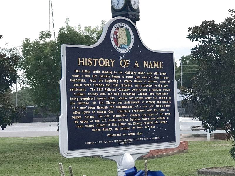
1. History of a Name Marker (Front)
Old Indian trails leading to the Mulberry River were still fresh when a few dirt farmers began to settle just west of what is now Hanceville. From the beginning a steady stream of settlers, many of whom were German and Irish refugees, was attracted to the new settlement. The L&N Railroad Company constructed a railroad across Cullman County with the link connecting Cullman and Hanceville being completed around 1873. Within two months after the coming of the railroad, Mr. P.H. Kinney was instrumental in forming the nucleus of a hew town through the establishment of a new post office some miles south of Holmes Gap, originally christened with the name of Gilmer. Kinney, the first postmaster, changed the name of the town by order of the U.S. Postal Service because there was already a town named Gilmer in the state. Mr. Kinney honored his father, Hance Kinney, by naming the town for him.
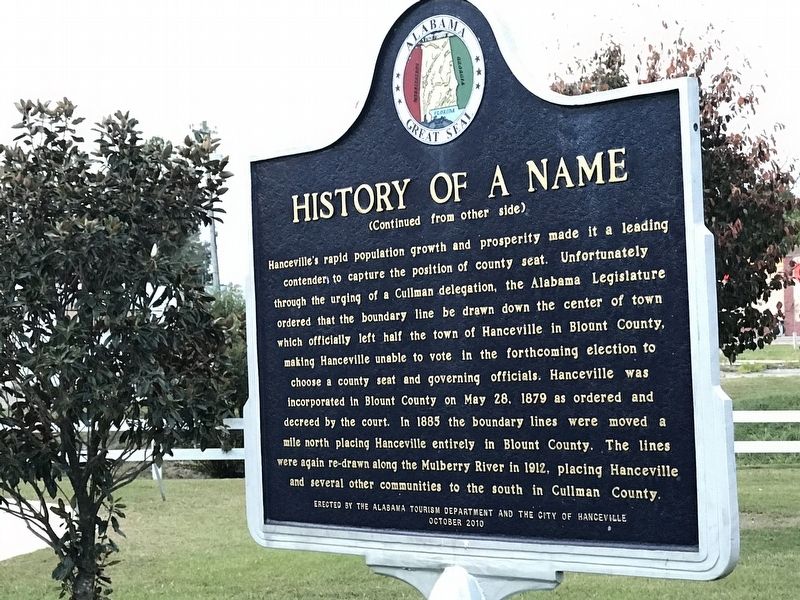
Side 2
Hanceville's rapid population growth and prosperity made it a leading contender to capture the position of county seat. Unfortunately through the urging of a Cullman delegation, the Alabama Legislature ordered that the boundary
this page online
Erected 2010 by Alabama Tourism Department and City of Hanceville.
Topics and series. This historical marker is listed in these topic lists: Railroads & Streetcars • Settlements & Settlers. In addition, it is included in the Alabama Tourism Department series list. A significant historical date for this entry is May 28, 1879.
Location. 34° 3.638′ N, 86° 46.205′ W. Marker is in Hanceville, Alabama, in Cullman County. It is on Main Street Northeast (U.S. 31) south of Arkadelphia Road (State Route 91), on the right when traveling south. Touch for map. Marker is in this post office area: Hanceville
Photographed by Duane and Tracy Marsteller, September 12, 2020
2. History of a Name Marker (Back)

Regionally, this marker is in North Alabama. It is also in the American South and specifically in the Deep South. Globally, it is in North America, a Gulf of Mexico state, the Western Hemisphere, the Western World, and the Anglosphere. Historically, it finds itself in what was once the original Cherokee Nation, the territory of the Mississippian Culture, one of the Confederate States of America, and the Antebellum South.
Other nearby markers. At least 8 other markers are within 9 miles of this marker, measured as the crow flies: Trinity Evangelical Lutheran Church (approx. 0.3 miles away); General Forrest’s (approx. 2.4 miles away); The Little School House (approx. 3.4 miles away); Bent But Not Broken (approx. 7.8 miles away); Colonel John G. Cullmann (approx. 8.4 miles away); The Ave Maria Grotto (approx. 8½ miles away); Berlin/Kritner Cemetery (approx. 8½ miles away); St. John’s Evangelical Protestant Church (approx. 8.7 miles away). Touch for a list and map of all markers in Hanceville.
Photographed by Duane and Tracy Marsteller, September 12, 2020
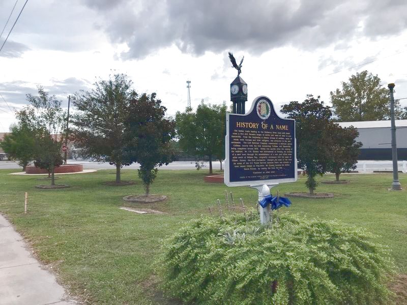
3. History of a Name Marker
Credits. This page was last revised on September 19, 2020. It was originally submitted on September 18, 2020, by Duane and Tracy Marsteller of Murfreesboro, Tennessee. This page has been viewed 930 times since then and 50 times this year. Photos: 1, 2, 3. submitted on September 18, 2020, by Duane and Tracy Marsteller of Murfreesboro, Tennessee. • Mark Hilton was the editor who published this page.
