Mount Holly in Gaston County, North Carolina — The American South (South Atlantic)
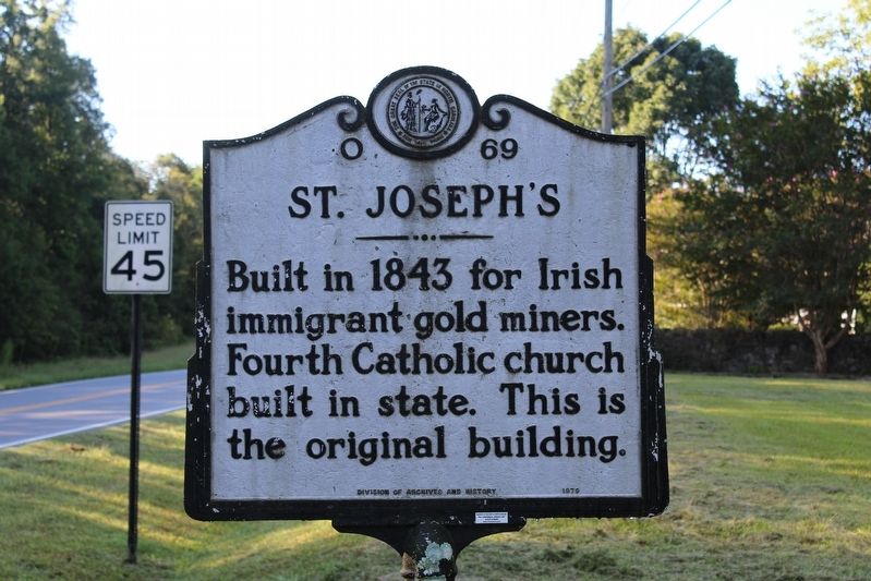
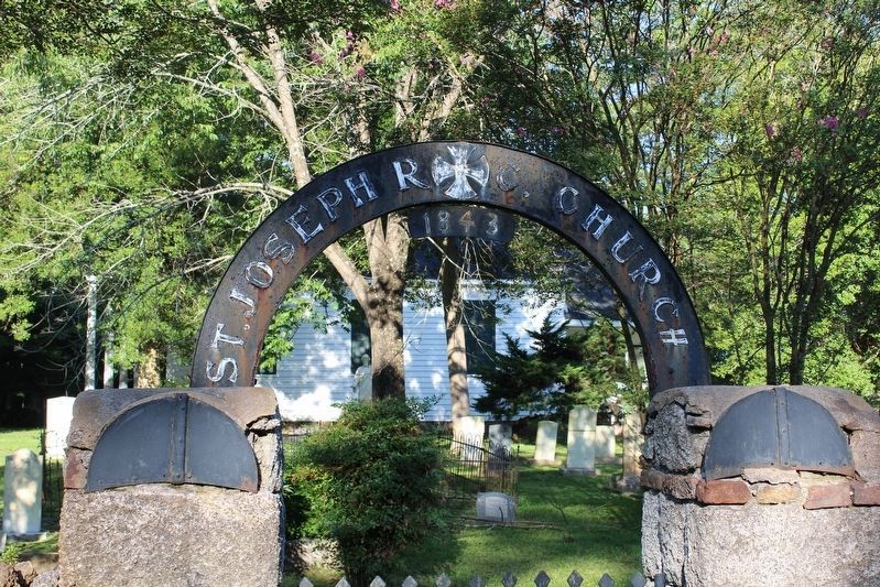
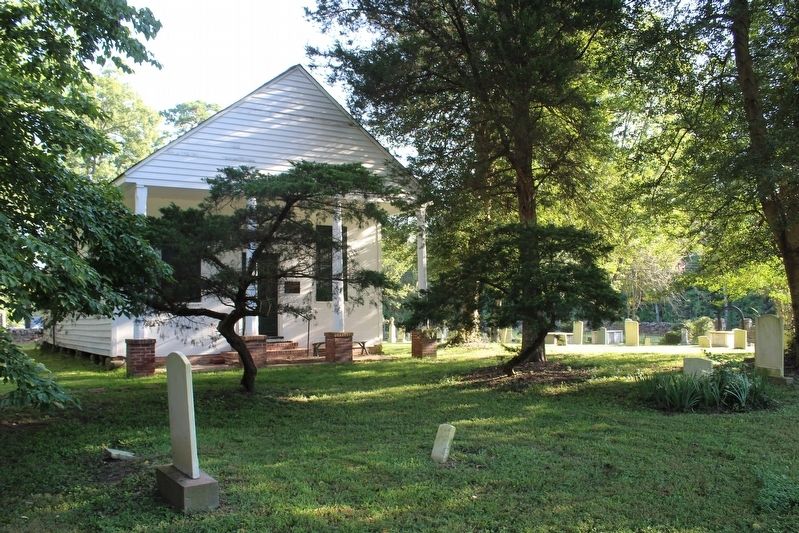
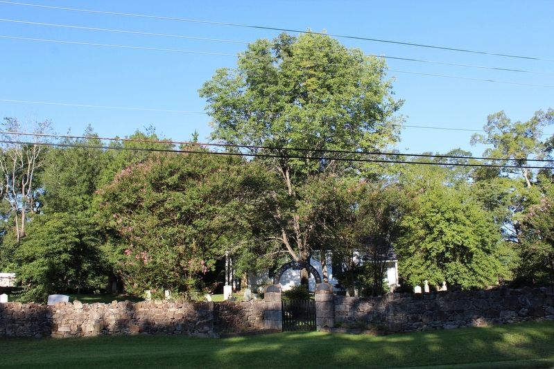
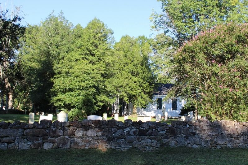
St. Joseph's
Erected 1979 by North Carolina Division of Archives and History. (Marker Number O-69.)
Topics and series. This historical marker is listed in this topic list: Churches & Religion. In addition, it is included in the North Carolina Division of Archives and History series list. A significant historical year for this entry is 1843.
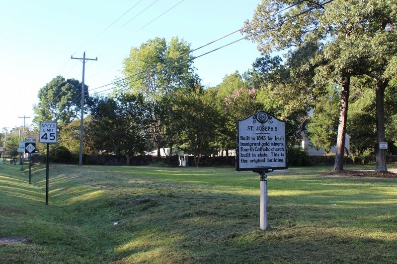
Location. 35° 20.233′ N, 80° 59.987′ W. Marker is in Mount Holly, North Carolina, in Gaston County. Marker is at the intersection of Mountain Island Highway (State Highway 273) and Sandy Ford Road (County Highway 1918), on the left when traveling north on Mountain Island Highway. Touch for map. Marker is in this post office area: Mount Holly NC 28120, United States of America. Touch for directions.
Other nearby markers. At least 8 other markers are within 5 miles of this marker, measured as the crow flies. Saint Joseph's Catholic Church (within shouting distance of this marker); Mount Holly Cotton Mill (approx. 2.7 miles away); Joseph Dickson (approx. 2.8 miles away); Cannon-Lentz House (approx. 2.9 miles away); 131 South Main Street (approx. 3 miles away); Oak Grove (approx. 3.7 miles away); Andrew Carpenter House (approx. 4.6 miles away); Pleasant Grove Memorial Park (approx. 4.7 miles away). Touch for a list and map of all markers in Mount Holly.
Credits. This page was last revised on September 21, 2020. It was originally submitted on September 19, 2020, by Tom Bosse of Jefferson City, Tennessee. This page has been viewed 145 times since then and 23 times this year. Photos: 1, 2, 3, 4, 5, 6. submitted on September 19, 2020, by Tom Bosse of Jefferson City, Tennessee. • Bernard Fisher was the editor who published this page.
