Los Alamos in Los Alamos County, New Mexico — The American Mountains (Southwest)
William Mackwood Hopper
Los Alamos Homestead Tour
| — | Site 1 • Marker 2 | — |
Photographed by Cosmos Mariner, May 24, 2015
1. William Mackwood Hopper Marker
Homestead Entry: August 1908
Harold H. Brook
Purchase: 1914
Los Alamos Ranch School
Purchase: 1917
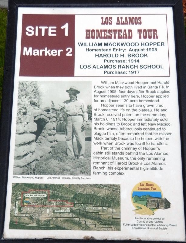
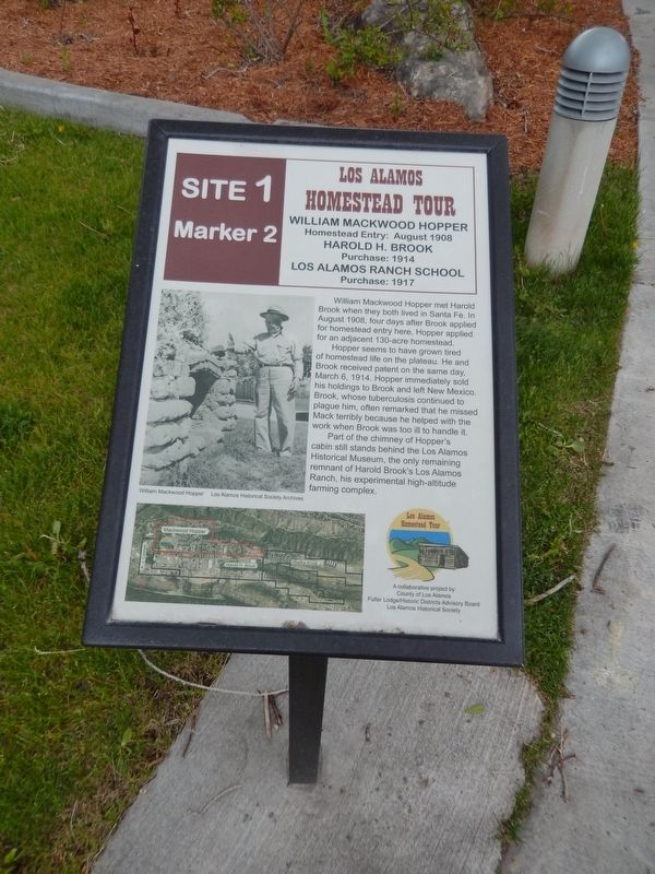
William Mackwood Hopper met Harold Brook when they both lived in Santa Fe. In August 1908, four days after Brook applied for homestead entry here, Hopper applied for an adjacent 130-acre homestead. Hopper seems to have grown tired of homestead life on the plateau. He and Brook received patent on the same day, March 6, 1914. Hopper immediately sold his holdings to Brook and left New Mexico. Brook, whose tuberculosis continued to plague him, often remarked that he missed Mack terribly because he helped with the work when Brook was too ill to handle it. Part of the chimney of Hopper's cabin still stands behind the Los Alamos Historical Museum, the only remaining remnant of Harold Brook's Los Alamos Ranch, his experimental high-altitude farming complex.
Erected by County of Los Alamos, Fuller Lodge/Historic Districts Advisory Board, and Los Alamos Historic Society.
Topics. This historical marker is listed in this topic list: Settlements & Settlers. A significant historical year for this entry is 1908.
Location. Marker has been permanently removed.
this page online
We have been informed that this marker is no longer there and will not be replaced. This page is an archival view of what was.
Regionally, this marker was in Northern New Mexico. It was also in the American Southwest. Globally, it was in North America, the Rocky Mountains, the Western Hemisphere, the Western World, and the Anglosphere. Historically, it found itself in what was once New Spain and also the territory of the Ancestral Puebloans.

Other nearby markers. At least 8 other markers are within walking distance of this location: Five Eras of History (a few steps from this marker); a different marker also named Romero Cabin (a few steps from this marker); Fire Cache (a few steps from this marker);
Los Alamos Historical Society Archives
2. Marker detail: William Mackwood Hopper
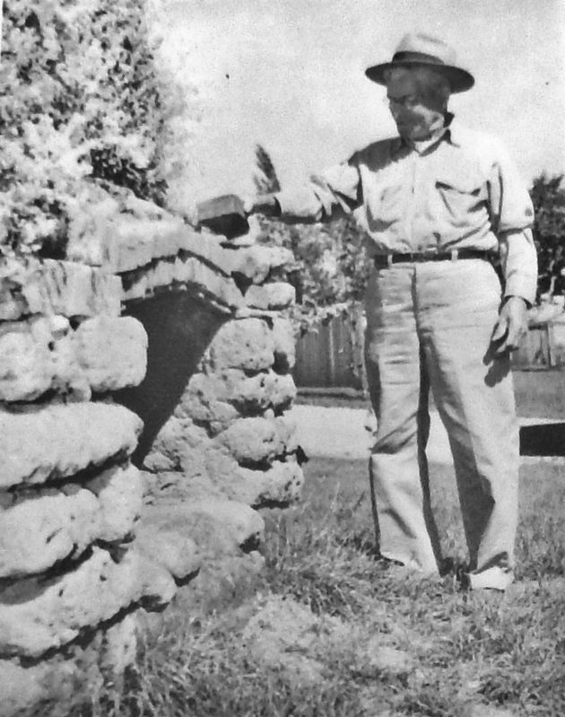
Mackwood Hopper, visiting Los Alamos in 1951, stands beside the chimney he built for his homestead cabin in 1908.
Other markers no longer nearby. Harold H. Brook (was here, next to this marker but has been permanently removed); Albert J. Connell (was here, next to this marker but has been permanently removed); Homesteading on the Pajarito Plateau, 1887-1942 (was a few steps from this marker but has been permanently removed); Martha Brook (was a few steps from this marker but has been permanently removed); The Romero Cabin (was a few steps from this marker but has been permanently removed).
Related markers. Click here for a list of markers that are related to this marker. Los Alamos Historical Walking Tour
Also see . . . Figures In New Mexico History: Mackwood Hopper. Hopper was born in 1871 on a farm in Yorkshire, England. He emigrated to the United
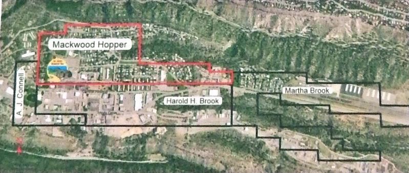
3. Marker detail: property map
Photographed by Cosmos Mariner, May 24, 2015
4. William Mackwood Hopper Marker
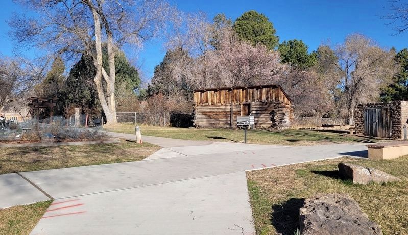
Photographed by James Hulse, March 25, 2025
5. The 6 original markers have been removed and replaced with different markers along the trail
Credits. This page was last revised on April 7, 2025. It was originally submitted on September 23, 2020, by Cosmos Mariner of Cape Canaveral, Florida. This page has been viewed 357 times since then and 17 times this year. Photos: 1, 2, 3, 4. submitted on September 24, 2020, by Cosmos Mariner of Cape Canaveral, Florida. 5. submitted on April 7, 2025, by James Hulse of Medina, Texas.
