Near Vale in Catawba County, North Carolina — The American South (South Atlantic)
Pottery Industry
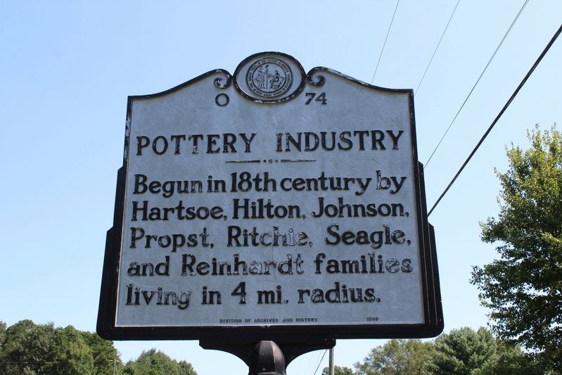
Photographed by Tom Bosse, September 6, 2020
1. Pottery Industry Marker
Erected 1988 by North Carolina Division of Archives and History. (Marker Number O-74.)
Topics and series. This historical marker is listed in this topic list: Industry & Commerce. In addition, it is included in the North Carolina Division of Archives and History series list.
Location. 35° 35.299′ N, 81° 24.319′ W. Marker is near Vale, North Carolina, in Catawba County. It is on State Highway 10 0.2 miles west of Smith Road, on the right when traveling east. Touch for map. Marker is in this post office area: Vale NC 28168, United States of America. Touch for directions.

Regionally, this marker is in the Piedmont. It is also in the American South and specifically in the Upper South. Globally, it is in North America, the Western Hemisphere, the Western World, and the Anglosphere. Historically, it finds itself in what was once the territory of the Mississippian Culture, one of the original Thirteen Colonies, one of the Confederate States
this page online
Other nearby markers. At least 8 other markers are within 9 miles of this marker, measured as the crow flies: Lieutenant John Hoyle (approx. 5 miles away); Grace Union Church Reformed and Lutheran (approx. 5 miles away); Grace Evangelical Lutheran Church (approx. 5.3 miles away); Zion Evangelical Lutheran Church (approx. 6.8 miles away); Daniels Church (approx. 7.1 miles away); Andrew Loretz (approx. 7.1 miles away); Salem Lutheran & United Church of Christ (approx. 8.4 miles away); Startown School (approx. 8½ miles away).
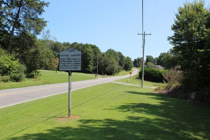
Photographed by Tom Bosse, September 6, 2020
2. Pottery Industry Marker
Credits. This page was last revised on January 27, 2025. It was originally submitted on September 24, 2020, by Tom Bosse of Jefferson City, Tennessee. This page has been viewed 400 times since then and 30 times this year. Photos: 1, 2. submitted on September 24, 2020, by Tom Bosse of Jefferson City, Tennessee. • Bernard Fisher was the editor who published this page.
