Colebrook in Coos County, New Hampshire — The American Northeast (New England)
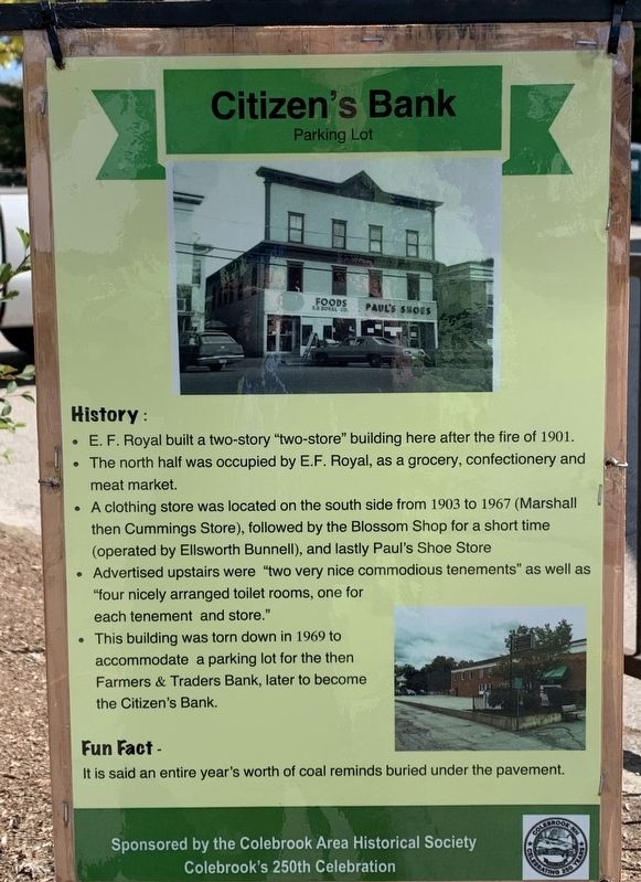
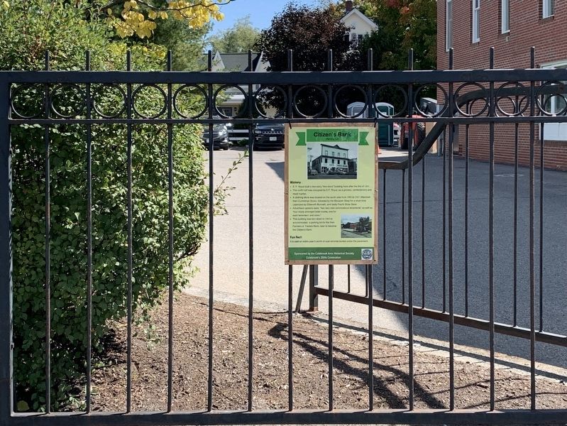
Citizen’s Bank
Parking Lot
— Colebrook’s 250th Celebration —
History:
• E. F. Royal built a two-story "two-store” building here after the fire of 1901.
• The north half was occupied by E.F. Royal, as a grocery, confectionery and meat market.
• A clothing store was located on the south side from 1903 to 1967 (Marshall then Cummings Store), followed by the Blossom Shop for a short time (operated by Ellsworth Bunnell), and lastly Paul's Shoe Store
• Advertised upstairs were "two very nice commodious tenements” as well as "four nicely arranged toilet rooms, one for each tenement and store."
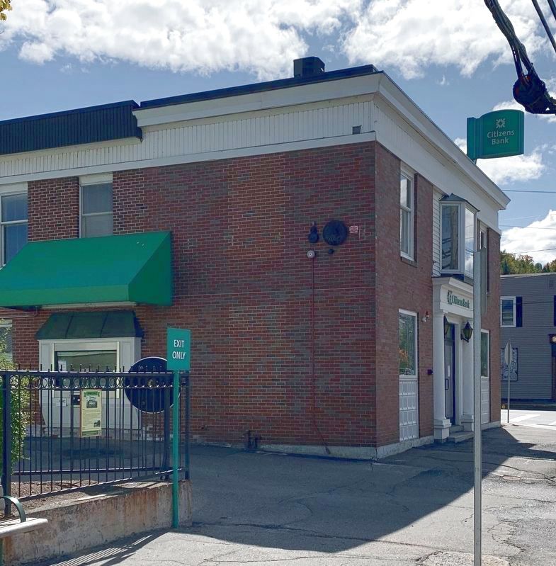
• This building was torn down in 1969 to accommodate a parking lot for the then Farmers & Traders Bank, later to become the Citizen's Bank.
Fun Fact -
It is said an entire year's worth of coal reminds buried under the pavement.
Erected by Colebrook Area Historical Society.
Topics. This historical marker is listed in this topic list: Industry & Commerce. A significant historical year for this entry is 1901.
Location. 44° 53.595′ N, 71° 29.819′ W. Marker is in Colebrook, New Hampshire, in Coos County. Marker is at the intersection of U.S. 3 and Mohawk Road, on the right when traveling north on U.S. 3. Touch for map. Marker is at or near this postal address: 104 Main Street, Colebrook NH 03576, United States of America. Touch for directions.
Other nearby markers. At least 8 other markers are within 7 miles of this marker, measured as the crow flies. Jenkins Funeral (within shouting distance of this marker); Sutton Place (within shouting distance of this marker); Wilderness Restaurant (about 300 feet away, measured in a direct line); Hicks Hardware (about 300 feet away); Remick Building (about 300 feet away); Country Roots (about 400 feet away); The Coos Trail (approx. half a mile away); Metallak (approx. 6˝ miles away). Touch for a list and map of all markers in Colebrook.
Credits. This page was last revised on September 27, 2020. It was originally submitted on September 25, 2020, by Steve Stoessel of Niskayuna, New York. This page has been viewed 113 times since then and 10 times this year. Photos: 1, 2, 3. submitted on September 25, 2020, by Steve Stoessel of Niskayuna, New York. • Michael Herrick was the editor who published this page.


