Fort Smith in Sebastian County, Arkansas — The American South (West South Central)
A Building Worth Saving
Fort Smith National Historic Site
| — | National Park Service, U.S. Department of the Interior | — |
Photographed by Cosmos Mariner, May 18, 2015
1. A Building Worth Saving Marker
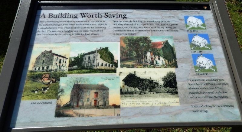
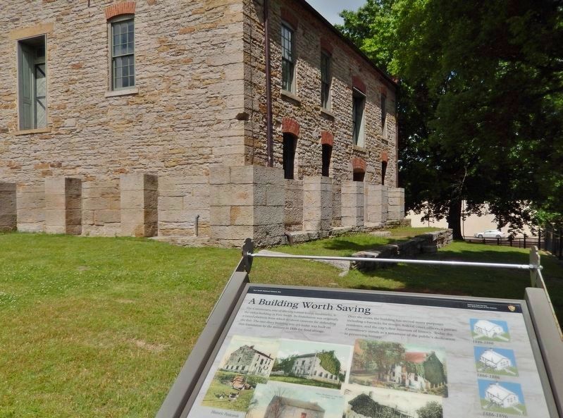
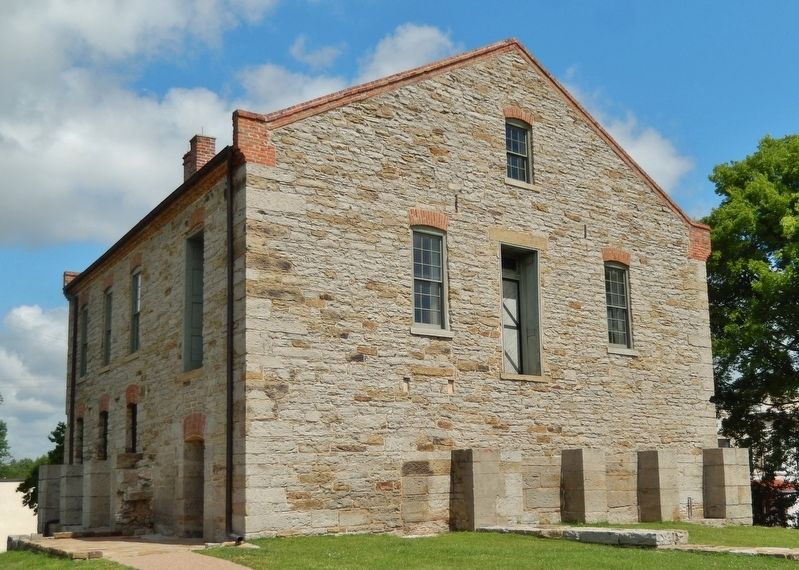
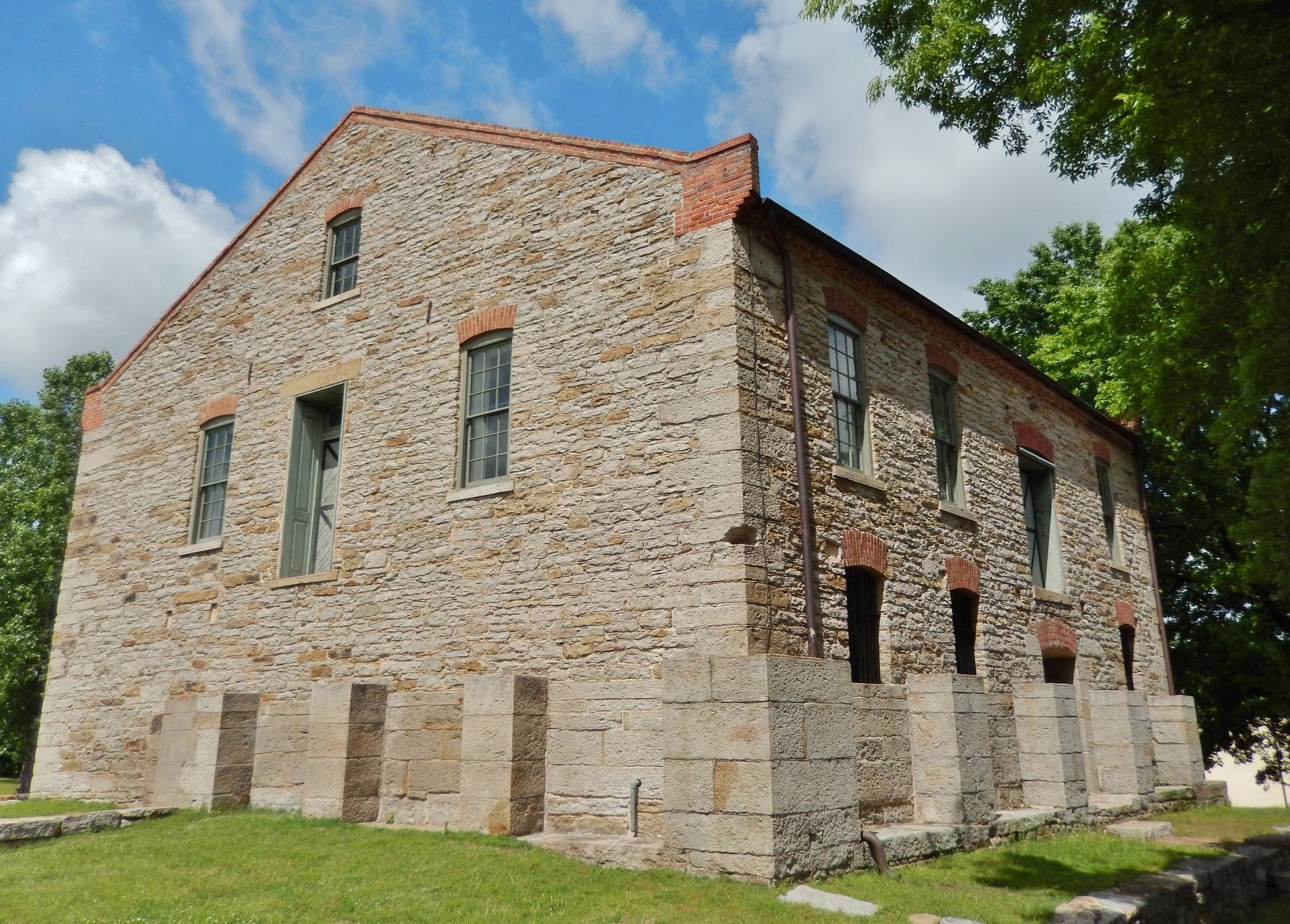
Over the years, the building has served many purposes including a barracks for troops, federal court offices, a private residence, and the city's first museum of history. Today the Commissary stands as a testament of the public's dedication to preserving history.
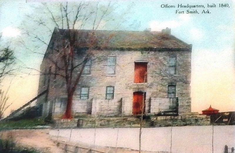
The Commissary would have been demolished in 1909 had a local group of women not intervened. They successfully persuaded city leaders and citizens to rescue the building.
Is there a building in your community worth saving?
Erected by National Park Service, U.S. Department of the Interior.
Topics. This historical marker is listed in this topic list: Forts and Castles. A significant historical year for this entry is 1846.
Location. 35° 23.374′ N, 94° 25.785′ W. Marker is in Fort Smith, Arkansas, in Sebastian County. It can be reached from the intersection of Garrison
this page online

Regionally, this marker is in the Arkansas River Valley, in the Cherokee Heritage Region, and in Osage Territory. It is also in the American South and specifically in the Upper South. Globally, it is in North America, the Western Hemisphere, the Western World, and the Anglosphere. Historically, it finds itself in what was once the territory of the Mississippian Culture, the Louisiana Purchase, one of the Confederate States of America, and the Antebellum South.
Other nearby markers. At least 8 other markers are within walking distance of this marker: Frisco Train Depot (here, next to this marker); Old Commissary (within shouting distance of this marker); Explorando Fort Smith / Exploring Fort Smith (within shouting distance of this marker); The Parade Grounds (within shouting distance of this
2. Marker detail: Officers Headquarters, built 1840
Also see . . .
1. Commissary: Old Fort Museum. At the end of the 19th century the Commissary was sold to a private owner. In 1910, a ladies' group acted to save the Commissary as a place to preserve the community's heritage. The Old Commissary Museum (later known as the Old Fort Museum) occupied the building for nearly 70 years, longer than either the army or the federal court. (Submitted on September 30, 2020, by Cosmos Mariner of Cape Canaveral, Florida.)
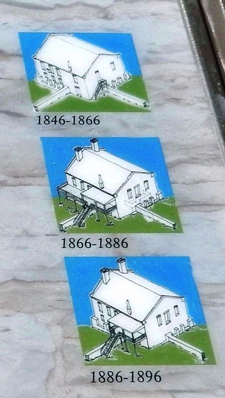
2. Commissary. In 1845 Quartermaster General Thomas Jesup inspected Fort Smith and ordered the wall bastion be converted into a commissary depot. General Jesup’s intervention led to Fort Smith’s continued growth by shifting the mission of the post from defense to supply. Over the years the Commissary's appearance
3. Marker detail: 19th Century Changes
Photographed by Cosmos Mariner, May 18, 2015
4. A Building Worth Saving Marker
Photographed by Cosmos Mariner, May 18, 2015
5. Old Fort Smith Commissary (southwest elevation)
Photographed by Cosmos Mariner, May 18, 2015
6. Old Fort Smith Commissary
Credits. This page was last revised on September 30, 2020. It was originally submitted on September 28, 2020, by Cosmos Mariner of Cape Canaveral, Florida. This page has been viewed 506 times since then and 36 times this year. Photos: 1, 2, 3, 4, 5, 6. submitted on September 30, 2020, by Cosmos Mariner of Cape Canaveral, Florida.
