Hamilton Train Depot
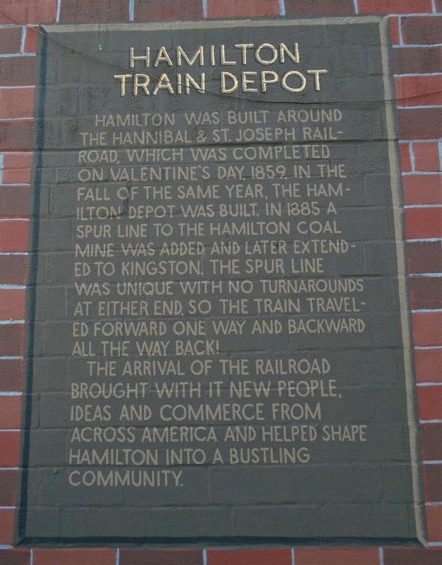
Hamilton was built around the Hannibal & St. Joseph Railroad, which was completed on Valentine's Day, 1859. In the fall of the same year, the Hamilton Depot was built. In 1885 a spur line to the Hamilton Coal Mine was added and later extended to Kingston. The spur line was unique with no turnarounds at either end, so the train traveled forward one way and backward all the way back!
The arrival of the railroad brought with it new people, ideas and commerce from across America and helped shape Hamilton into a bustling community.
Topics. This historical marker is listed in these topic lists: Railroads & Streetcars • Settlements & Settlers. A significant historical year for this entry is 1859.
Location. 39° 44.577′ N, 93° 59.866′ W. Marker is in Hamilton, Missouri, in Caldwell County. Marker is at the intersection of Davis Street (State Highway 13) and McGaughy Street, on the left when traveling south on Davis Street. Touch for map. Marker is at or near this postal address: 114 North Davis Street, Hamilton MO 64644, United States of America. Touch for directions.
Other nearby markers. At least 8 other markers are within 8 miles of this marker, measured as the crow flies. Boyhood Home of J. C. Penney (within shouting distance of this marker); Welcome to Hamilton (about 300 feet away, measured in a direct line); a different marker also named Welcome to Hamilton (about 300 feet away); "Richey" Mill Stones
Also see . . .
1. Map of the Hannibal & St. Joseph Railroad (c. 1860). (Submitted on September 28, 2020, by William Fischer, Jr. of Scranton, Pennsylvania.)
2. The Hamilton and Kingston Railroad. (Submitted on September 28, 2020, by William Fischer, Jr. of Scranton, Pennsylvania.)
Credits. This page was last revised on September 28, 2020. It was originally submitted on September 28, 2020, by William Fischer, Jr. of Scranton, Pennsylvania. This page has been viewed 329 times since then and 22 times this year. Photos: 1, 2. submitted on September 28, 2020, by William Fischer, Jr. of Scranton, Pennsylvania.

