Clyde in Wayne County, New York — The American Northeast (Mid-Atlantic)
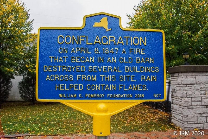
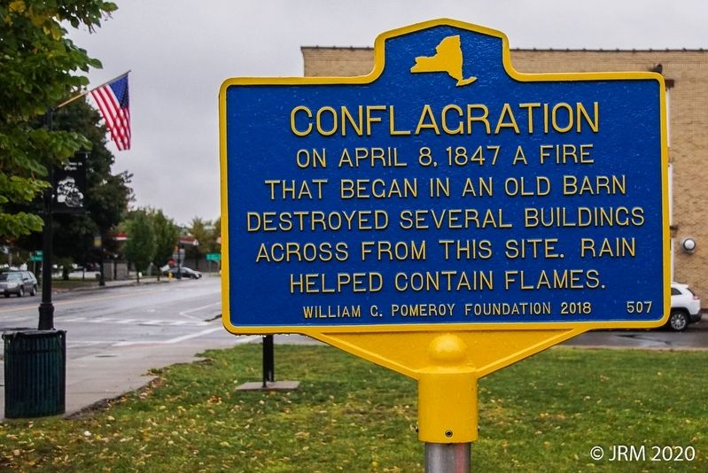
Conflagration
Erected 2018 by William G. Pomeroy Foundation. (Marker Number 507.)
Topics and series. This historical marker is listed in this topic list: Disasters. In addition, it is included in the William G. Pomeroy Foundation series list. A significant historical year for this entry is 1847.
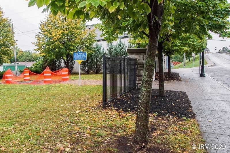
Location. 43° 4.97′ N, 76° 52.205′ W. Marker is in Clyde, New York, in Wayne County. Marker is on Glasgow Street (New York State Route 414) 0 miles south of Ford Street, on the right when traveling north. Touch for map. Marker is in this post office area: Clyde NY 14433, United States of America. Touch for directions.
Other nearby markers. At least 8 other markers are within walking distance of this marker. Iron Lift Bridge (a few steps from this marker); Train Wreck (within shouting distance of this marker); World War Cannon (about 400 feet away, measured in a direct line); Clyde Downtown Historic District (about 500 feet away); Roll of Honor (about 600 feet away); Iron Works (about 600 feet away); The Galen Historical Society Museum (about 700 feet away); Clyde Historical Highlights (approx. 0.2 miles away). Touch for a list and map of all markers in Clyde.
Credits. This page was last revised on March 19, 2024. It was originally submitted on October 2, 2020, by Lugnuts of Germantown, Wisconsin. This page has been viewed 119 times since then and 13 times this year. Photos: 1, 2, 3, 4. submitted on October 2, 2020, by Lugnuts of Germantown, Wisconsin. 5. submitted on March 19, 2024, by Steve Stoessel of Niskayuna, New York. • Michael Herrick was the editor who published this page.


