St. Robert in Pulaski County, Missouri — The American Midwest (Upper Plains)
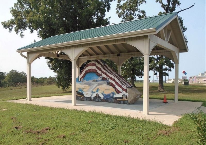
Pulaski County Freedom Rock Veterans Memorial
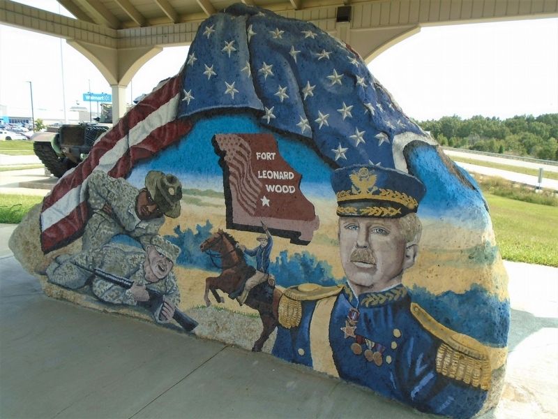
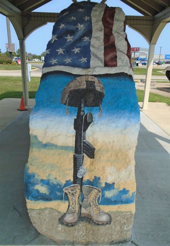
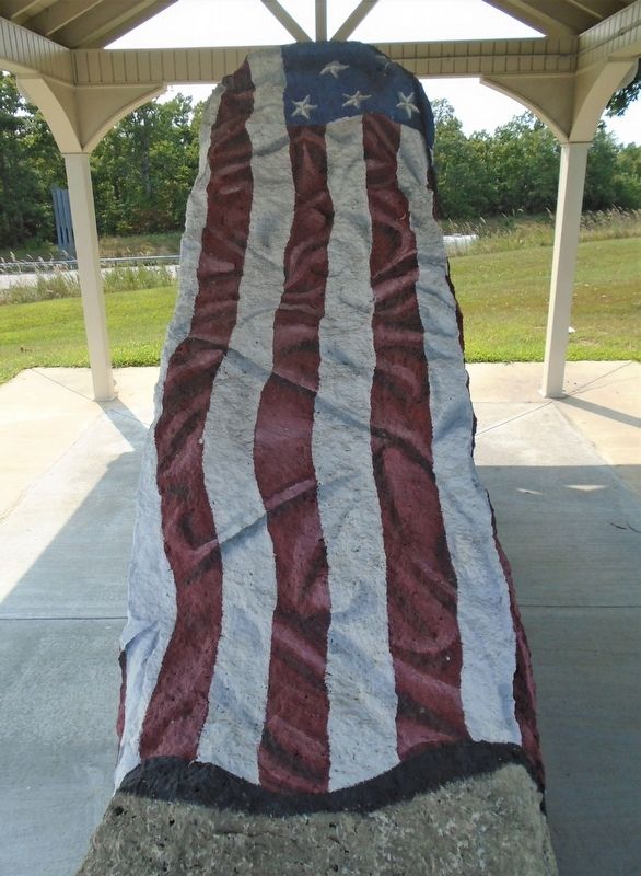
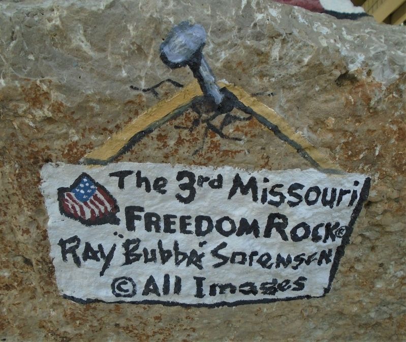
The Third Missouri Freedom Rock
[Major General Leonard Wood]
[Drill Instructor and Recruit]
[The Spirit of Pulaski County P-51]
[Armed Service Service Caps]
[Fallen Soldier Memorial]
Erected by Ray "Bubba" Sorensen.
Topics and series. This memorial is listed in these topic lists: Military • Patriots & Patriotism. In addition, it is included in the Freedom Rock Memorials series list.
Location. 37° 49.472′ N, 92° 9.335′ W. Marker is in St. Robert, Missouri, in Pulaski County. Memorial is on St. Robert Boulevard, 0.8 miles east of Old Route 66 (Business Interstate 44), on the right when traveling east. Touch for map. Marker is at or near this postal address: 209 St Robert Boulevard, Saint Robert MO 65584, United States of America. Touch for directions.
Other nearby markers. At least 8 other markers are within 3 miles of this marker, measured as the crow flies. Veterans Memorial (a few steps from this marker); "Grow With Us" (approx. half a mile away); Welcome to St. Roberts (approx. 0.7 miles away); Talbot House (approx. 2.4 miles away); Waynesville Fort (approx. 2˝ miles away); Old Stage Coach Stop (approx. 2˝ miles away); Pulaski County (approx. 2˝ miles away); Rigsby House and Standard Oil Station (approx. 2˝ miles away). Touch for a list and map of all markers in St. Robert.
Also see . . .
1. The Freedom Rock. Website homepage (Submitted on October 5, 2020, by William Fischer, Jr. of Scranton, Pennsylvania.)
2. Pulaski County Missouri. Website homepage (Submitted on October 5, 2020, by William Fischer, Jr. of Scranton, Pennsylvania.)
3. Leonard Wood. Wikipedia entry (Submitted on January 7, 2022, by Larry Gertner of New York, New York.)
4. History of Fort Leonard Wood. U.S. Army website entry (Submitted on October 5, 2020, by William Fischer, Jr. of Scranton, Pennsylvania.)
Credits. This page was last revised on February 12, 2022. It was originally submitted on October 5, 2020, by William Fischer, Jr. of Scranton, Pennsylvania. This page has been viewed 128 times since then and 9 times this year. Photos: 1, 2, 3, 4, 5, 6. submitted on October 5, 2020, by William Fischer, Jr. of Scranton, Pennsylvania.
