Near Cookeville in Putnam County, Tennessee — The American South (East South Central)
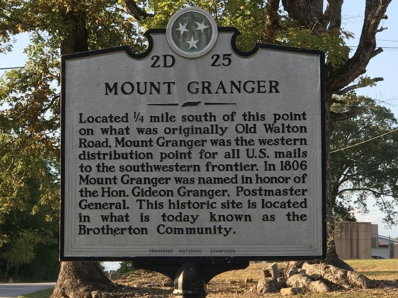
Mount Granger
Erected by Tennessee Historical Commission. (Marker Number 2D 25.)
Topics and series. This historical marker is listed in these topic lists: Communications • Settlements & Settlers. In addition, it is included in the Postal Mail and Philately, and the Tennessee Historical Commission series lists. A significant historical year for this entry is 1806.
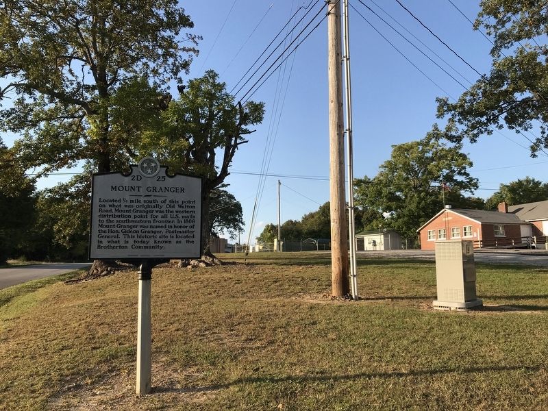
Location. 36° 11.331′ N, 85° 23.097′ W. Marker is near Cookeville, Tennessee, in Putnam County. Marker is at the intersection of Brotherton Mountain Road and Buck Mountain Road, on the right when traveling north on Brotherton Mountain Road. Touch for map. Marker is at or near this postal address: 7200 Brotherton Mountain Road, Cookeville TN 38506, United States of America. Touch for directions.
Other nearby markers. At least 8 other markers are within 7 miles of this marker, measured as the crow flies. White Plains (approx. 3½ miles away); a different marker also named White Plains (approx. 3.8 miles away); Old Salem Methodist Church (approx. 5.7 miles away); Buck's College (approx. 5.8 miles away); Capshaw School (approx. 6½ miles away); Israel Putnam (approx. 6.6 miles away); Putnam County Revolutionary Memorial (approx. 6.7 miles away); Steam Tractor 1886 (approx. 6.7 miles away). Touch for a list and map of all markers in Cookeville.
Credits. This page was last revised on October 7, 2020. It was originally submitted on October 6, 2020, by Duane and Tracy Marsteller of Murfreesboro, Tennessee. This page has been viewed 303 times since then and 22 times this year. Photos: 1, 2. submitted on October 6, 2020, by Duane and Tracy Marsteller of Murfreesboro, Tennessee. • Devry Becker Jones was the editor who published this page.

